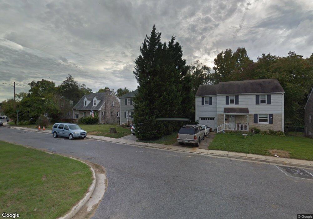
5518 Thomas Ave Halethorpe, MD 21227
Estimated Value: $324,000 - $361,038
Studio
2
Baths
1,728
Sq Ft
$201/Sq Ft
Est. Value
About This Home
This home is located at 5518 Thomas Ave, Halethorpe, MD 21227 and is currently estimated at $346,760, approximately $200 per square foot. 5518 Thomas Ave is a home located in Baltimore County with nearby schools including Arbutus Elementary School, Arbutus Middle School, and Lansdowne High School.
Ownership History
Date
Name
Owned For
Owner Type
Purchase Details
Closed on
Aug 13, 2019
Sold by
Lester Patrick T
Bought by
Revocabl Lester Patrick T and Revocabl Patrick T Lester 2019
Current Estimated Value
Purchase Details
Closed on
Feb 14, 2001
Sold by
Smith Kenneth A
Bought by
Lester Patrick T and Lester Laurie L
Create a Home Valuation Report for This Property
The Home Valuation Report is an in-depth analysis detailing your home's value as well as a comparison with similar homes in the area
Home Values in the Area
Average Home Value in this Area
Purchase History
| Date | Buyer | Sale Price | Title Company |
|---|---|---|---|
| Revocabl Lester Patrick T | -- | None Available | |
| Lester Patrick T | $134,000 | -- |
Source: Public Records
Tax History
| Year | Tax Paid | Tax Assessment Tax Assessment Total Assessment is a certain percentage of the fair market value that is determined by local assessors to be the total taxable value of land and additions on the property. | Land | Improvement |
|---|---|---|---|---|
| 2025 | $3,470 | $267,433 | -- | -- |
| 2024 | $3,470 | $242,900 | $62,400 | $180,500 |
| 2023 | $1,701 | $235,200 | $0 | $0 |
| 2022 | $3,488 | $227,500 | $0 | $0 |
| 2021 | $3,536 | $219,800 | $62,400 | $157,400 |
| 2020 | $3,536 | $216,567 | $0 | $0 |
| 2019 | $3,246 | $213,333 | $0 | $0 |
| 2018 | $3,059 | $210,100 | $62,400 | $147,700 |
| 2017 | $2,854 | $206,100 | $0 | $0 |
| 2016 | $2,265 | $202,100 | $0 | $0 |
| 2015 | $2,265 | $198,100 | $0 | $0 |
| 2014 | $2,265 | $198,100 | $0 | $0 |
Source: Public Records
Map
Nearby Homes
- 5522 Ashbourne Rd
- 5521 Willys Ave
- 1207 Brewster St
- 5402 Council St
- 1416 Sulphur Spring Rd
- 5605 Oregon Ave
- 1328 Stevens Ave
- 1204 Birch Ave
- 1258 Linden Ave
- 1211 Poplar Ave
- 1078 Downton Rd
- 1027 Downton Rd
- 4606 Ridge Ave
- 0 Dewitt Rd
- 1015 Stormont Cir
- 4412 Maple Ave
- 1212 Seven Oaks Rd
- 933 Elm Rd
- 1710H Selma Ave
- 927 Grovehill Rd
- 5512 Thomas Ave
- 5514 Thomas Ave
- 5506 Thomas Ave
- 5522 Thomas Ave
- 5517 Ashbourne Rd
- 5519 Ashbourne Rd
- 5515 Ashbourne Rd
- 5510 Thomas Ave
- 5521 Ashbourne Rd
- 5513 Ashbourne Rd
- 5515 Rockleigh Dr
- 5506 Rockleigh Dr
- 5524 Thomas Ave
- 5513 Rockleigh Dr
- 5503 Thomas Ave
- 5508 Thomas Ave
- 5511 Rockleigh Dr
- 5511 Ashbourne Rd
- 5523 Ashbourne Rd
- 5521 Rockleigh Dr
Your Personal Tour Guide
Ask me questions while you tour the home.