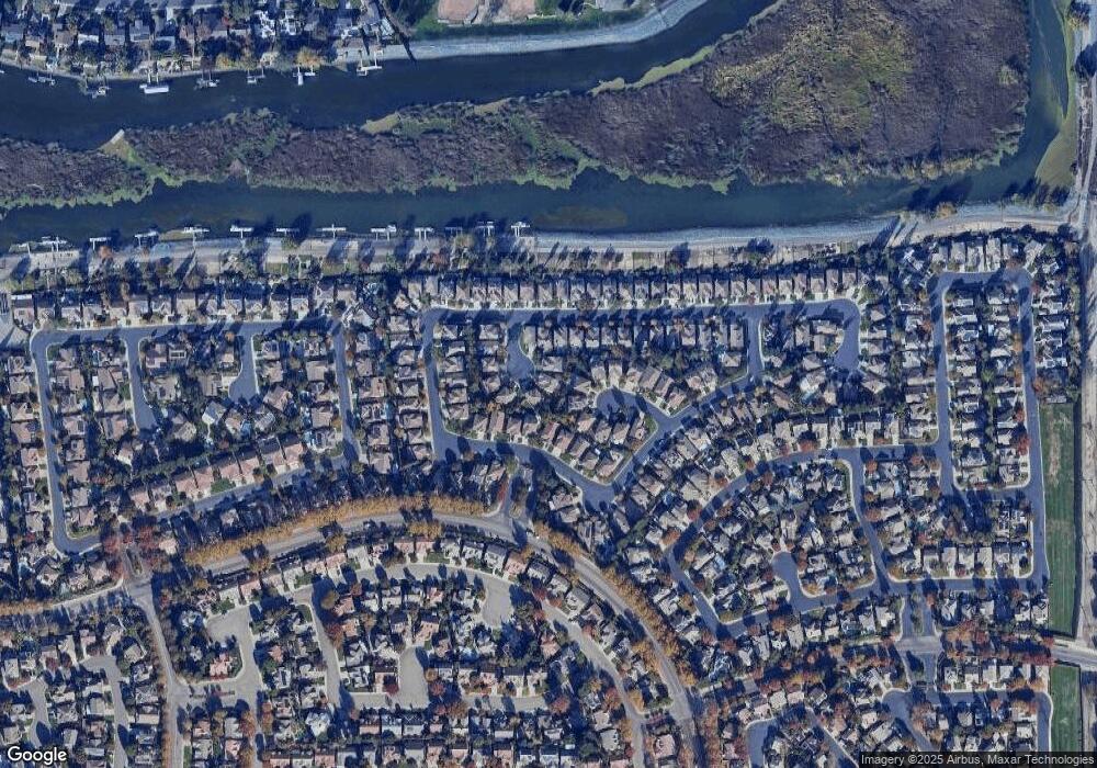
5518 Thornhill Ct Stockton, CA 95219
Brookside NeighborhoodEstimated Value: $435,000 - $683,000
5
Beds
3
Baths
2,520
Sq Ft
$226/Sq Ft
Est. Value
About This Home
This home is located at 5518 Thornhill Ct, Stockton, CA 95219 and is currently estimated at $569,034, approximately $225 per square foot. 5518 Thornhill Ct is a home located in San Joaquin County with nearby schools including Claudia Landeen School, Sierra Middle School, and Lincoln High School.
Ownership History
Date
Name
Owned For
Owner Type
Purchase Details
Closed on
Jul 21, 2011
Sold by
Tavakoli Amir and Tavakoli Marissa
Bought by
Tavakoli Behzad Akhavan
Current Estimated Value
Purchase Details
Closed on
Feb 15, 2000
Sold by
Kaufman & Broad Of Northern Ca Inc
Bought by
Tavakoli Amir and Tavakoli Marissa
Home Financials for this Owner
Home Financials are based on the most recent Mortgage that was taken out on this home.
Original Mortgage
$188,850
Interest Rate
8.14%
Create a Home Valuation Report for This Property
The Home Valuation Report is an in-depth analysis detailing your home's value as well as a comparison with similar homes in the area
Home Values in the Area
Average Home Value in this Area
Purchase History
| Date | Buyer | Sale Price | Title Company |
|---|---|---|---|
| Tavakoli Behzad Akhavan | $220,100 | None Available | |
| Tavakoli Amir | $211,000 | Central Valley Title Company |
Source: Public Records
Mortgage History
| Date | Status | Borrower | Loan Amount |
|---|---|---|---|
| Previous Owner | Tavakoli Amir | $188,850 |
Source: Public Records
Tax History Compared to Growth
Tax History
| Year | Tax Paid | Tax Assessment Tax Assessment Total Assessment is a certain percentage of the fair market value that is determined by local assessors to be the total taxable value of land and additions on the property. | Land | Improvement |
|---|---|---|---|---|
| 2025 | $3,887 | $311,489 | $77,870 | $233,619 |
| 2024 | $3,804 | $305,383 | $76,344 | $229,039 |
| 2023 | $3,771 | $299,397 | $74,848 | $224,549 |
| 2022 | $3,540 | $293,528 | $73,381 | $220,147 |
| 2021 | $3,490 | $287,774 | $71,943 | $215,831 |
| 2020 | $3,499 | $284,824 | $71,206 | $213,618 |
| 2019 | $3,441 | $279,240 | $69,810 | $209,430 |
| 2018 | $3,385 | $273,766 | $68,442 | $205,324 |
| 2017 | $3,321 | $268,399 | $67,100 | $201,299 |
| 2016 | $3,284 | $263,136 | $65,784 | $197,352 |
| 2014 | $3,201 | $254,108 | $63,527 | $190,581 |
Source: Public Records
Map
Nearby Homes
- 6472 Brook Hollow Cir
- 6541 Brook Hollow Cir
- 6439 Brook Hollow Cir
- 3635 Hidden Brook Dr
- 3604 Fourteen Mile Dr
- 6337 Brook Hollow Cir
- 6243 Riverbank Cir
- 3669 Whispering Creek Cir
- 6219 Riverbank Cir
- 6503 Pine Meadow Cir
- 3668 Whispering Creek Cir
- 3287 Amberfield Cir
- 6486 Pine Meadow Cir
- 5815 Morgan Place Unit 25
- 5815 Morgan Place Unit 18
- 5833 Morgan Place Unit 60
- 2930 Driftwood Place Unit 51
- 3864 Fourteen Mile Dr
- 5633 Brush Creek Dr
- 6078 Carolina Cir
- 5506 Thornhill Ct
- 5530 Thornhill Ct
- 5459 Stone Bridge Ct
- 5460 Stone Bridge Ct
- 5511 Thornhill Ct
- 6602 Brook Falls Cir
- 6892 Brook Falls Cir
- 5447 Stone Bridge Ct
- 5452 Stone Bridge Ct
- 6712 Brook Falls Cir
- 6716 Brook Falls Cir
- 5542 Thornhill Ct
- 6606 Brook Falls Cir
- 6720 Brook Falls Cir
- 6884 Brook Falls Cir
- 5523 Thornhill Ct
- 6724 Brook Falls Cir
- 6610 Brook Falls Cir
- 5535 Thornhill Ct
- 5443 Stone Bridge Ct
