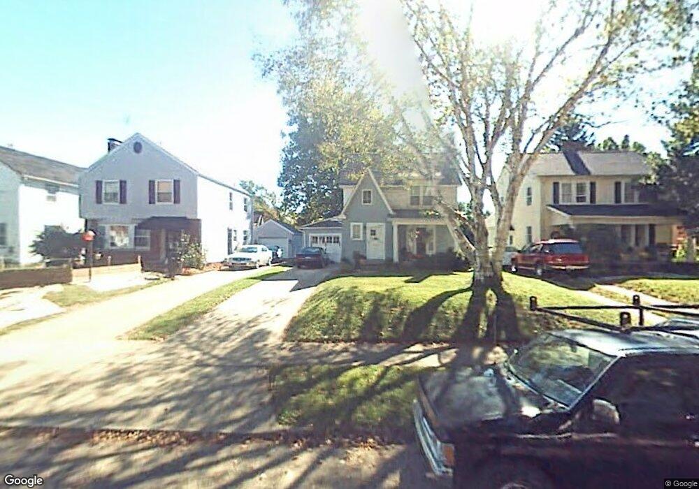
552 E Allen St Lancaster, OH 43130
Estimated Value: $259,063 - $324,000
3
Beds
2
Baths
1,706
Sq Ft
$169/Sq Ft
Est. Value
About This Home
This home is located at 552 E Allen St, Lancaster, OH 43130 and is currently estimated at $287,766, approximately $168 per square foot. 552 E Allen St is a home located in Fairfield County with nearby schools including Thomas Ewing Junior High School, Lancaster High School, and St Mary Elementary School.
Ownership History
Date
Name
Owned For
Owner Type
Purchase Details
Closed on
Apr 25, 2003
Sold by
Delong Ronald W and Delong Betty L
Bought by
Delong Ronald W and Delong Betty L
Current Estimated Value
Create a Home Valuation Report for This Property
The Home Valuation Report is an in-depth analysis detailing your home's value as well as a comparison with similar homes in the area
Home Values in the Area
Average Home Value in this Area
Purchase History
| Date | Buyer | Sale Price | Title Company |
|---|---|---|---|
| Delong Ronald W | -- | -- |
Source: Public Records
Tax History
| Year | Tax Paid | Tax Assessment Tax Assessment Total Assessment is a certain percentage of the fair market value that is determined by local assessors to be the total taxable value of land and additions on the property. | Land | Improvement |
|---|---|---|---|---|
| 2025 | $5,875 | $100,050 | $19,730 | $80,320 |
| 2024 | $5,875 | $65,350 | $9,960 | $55,390 |
| 2023 | $2,045 | $65,350 | $9,960 | $55,390 |
| 2022 | $2,069 | $65,350 | $9,960 | $55,390 |
| 2021 | $1,710 | $52,580 | $9,960 | $42,620 |
| 2020 | $1,639 | $52,580 | $9,960 | $42,620 |
| 2019 | $1,558 | $52,580 | $9,960 | $42,620 |
| 2018 | $1,149 | $39,810 | $9,960 | $29,850 |
| 2017 | $1,149 | $39,430 | $9,580 | $29,850 |
| 2016 | $1,119 | $39,430 | $9,580 | $29,850 |
| 2015 | $1,107 | $38,200 | $9,580 | $28,620 |
| 2014 | $1,055 | $38,200 | $9,580 | $28,620 |
| 2013 | $1,055 | $38,200 | $9,580 | $28,620 |
Source: Public Records
Map
Nearby Homes
- 712 N Mount Pleasant Ave
- 517 N Maple St
- 610 E 5th Ave
- 705 Madison Ave
- 311 E Allen St
- 547 E Mulberry St
- 621 E Mulberry St
- 664 Smithfield Ave
- 810 N Eastwood Ave
- 600 N High St
- 612 Oakwood Ave
- 534 E Wheeling St
- 165 Lake St
- 153 King St
- 249 N Pearl Ave
- 859 E Mulberry St
- 869 E Mulberry St
- 621 Harding Ave
- 820 N Broad St
- 515 E Chestnut St
- 550 E Allen St
- 558 E Allen St
- 625 N Mount Pleasant Ave
- 548 E Allen St
- 635 N Mount Pleasant Ave
- 623 N Mount Pleasant Ave
- 546 E Allen St
- 634 N Mount Pleasant Ave
- 624 N Mount Pleasant Ave
- 553 E 6th Ave
- 559 E Allen St
- 530 E Allen St
- 541 E 6th Ave
- 557 E 6th Ave
- 561 E Allen St
- 539 E 6th Ave
- 561 E 6th Ave
- 604 E Allen St
- 614 N Mount Pleasant Ave
- 537 E 6th Ave
Your Personal Tour Guide
Ask me questions while you tour the home.