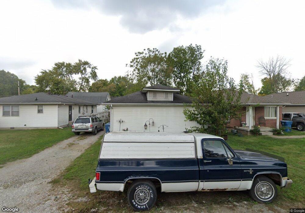
552 Laclede St Indianapolis, IN 46241
Garden City NeighborhoodEstimated Value: $139,000 - $164,000
3
Beds
1
Bath
1,004
Sq Ft
$151/Sq Ft
Est. Value
About This Home
This home is located at 552 Laclede St, Indianapolis, IN 46241 and is currently estimated at $151,541, approximately $150 per square foot. 552 Laclede St is a home located in Marion County with nearby schools including Rhoades Elementary School, Lynhurst 7th & 8th Grade Center, and Ben Davis University High School.
Ownership History
Date
Name
Owned For
Owner Type
Purchase Details
Closed on
May 21, 2012
Sold by
Bohunsky James P
Bought by
Bohunsky James P and The James P Bohunsky Revocable
Current Estimated Value
Purchase Details
Closed on
Feb 18, 2009
Sold by
Lasalle Bank National Association
Bought by
Bohunsky James
Purchase Details
Closed on
Dec 2, 2008
Sold by
Stanger Raymond and Washington Mutual Bank
Bought by
Lasalle Bank National Association
Purchase Details
Closed on
Dec 21, 2006
Sold by
Finke Group Real Estate Lllc
Bought by
Stanger Raymond
Home Financials for this Owner
Home Financials are based on the most recent Mortgage that was taken out on this home.
Original Mortgage
$72,000
Interest Rate
9.3%
Mortgage Type
Adjustable Rate Mortgage/ARM
Purchase Details
Closed on
Apr 26, 2005
Sold by
Hurst Donald J and Hurst Julie A
Bought by
Finke Group Real Estate
Create a Home Valuation Report for This Property
The Home Valuation Report is an in-depth analysis detailing your home's value as well as a comparison with similar homes in the area
Home Values in the Area
Average Home Value in this Area
Purchase History
| Date | Buyer | Sale Price | Title Company |
|---|---|---|---|
| Bohunsky James P | -- | None Available | |
| Bohunsky James | -- | Security Title Services Llc | |
| Lasalle Bank National Association | $57,051 | None Available | |
| Stanger Raymond | -- | None Available | |
| Finke Group Real Estate | -- | None Available |
Source: Public Records
Mortgage History
| Date | Status | Borrower | Loan Amount |
|---|---|---|---|
| Previous Owner | Stanger Raymond | $72,000 |
Source: Public Records
Tax History Compared to Growth
Tax History
| Year | Tax Paid | Tax Assessment Tax Assessment Total Assessment is a certain percentage of the fair market value that is determined by local assessors to be the total taxable value of land and additions on the property. | Land | Improvement |
|---|---|---|---|---|
| 2024 | $2,859 | $106,400 | $3,600 | $102,800 |
| 2023 | $2,859 | $109,500 | $3,600 | $105,900 |
| 2022 | $3,108 | $118,000 | $3,600 | $114,400 |
| 2021 | $1,095 | $35,900 | $3,600 | $32,300 |
| 2020 | $1,227 | $40,200 | $3,600 | $36,600 |
| 2019 | $1,093 | $34,900 | $3,600 | $31,300 |
| 2018 | $1,018 | $34,500 | $3,600 | $30,900 |
| 2017 | $954 | $32,400 | $3,600 | $28,800 |
| 2016 | $944 | $32,000 | $3,600 | $28,400 |
| 2014 | $632 | $31,600 | $3,600 | $28,000 |
| 2013 | $441 | $58,100 | $3,600 | $54,500 |
Source: Public Records
Map
Nearby Homes
- 555 S Auburn St
- 635 W Laclede St
- 360 Laclede St
- 841 Woodrow Ave
- 5137 Ida St
- 894 S Auburn St
- 5161 Bertha St
- 902 Woodrow Ave
- 1011 Westbrook Ave
- 45 Iris Ave
- 1020 Denison St
- 1002 S Fleming St
- 839 S Lynhurst Dr
- 810 S Roena St
- 701 S Biltmore Ave
- 809 S Roena St
- 315 S Biltmore Ave
- 2722 S Lyons Ave
- 732 S Biltmore Ave
- 2814 S Rybolt Ave
- 548 Laclede St
- 554 Laclede St
- 544 Laclede St
- 540 Laclede St
- 547 S Auburn St
- 536 Laclede St
- 541 S Auburn St
- 551 Laclede St
- 608 Laclede St
- 539 S Auburn St
- 4850 Oliver Ave
- 543 Laclede St
- 535 S Auburn St
- 539 Laclede St
- 612 Laclede St
- 605 S Auburn St
- 528 Laclede St
- 603 Laclede St
- 535 Laclede St
- 533 S Auburn St