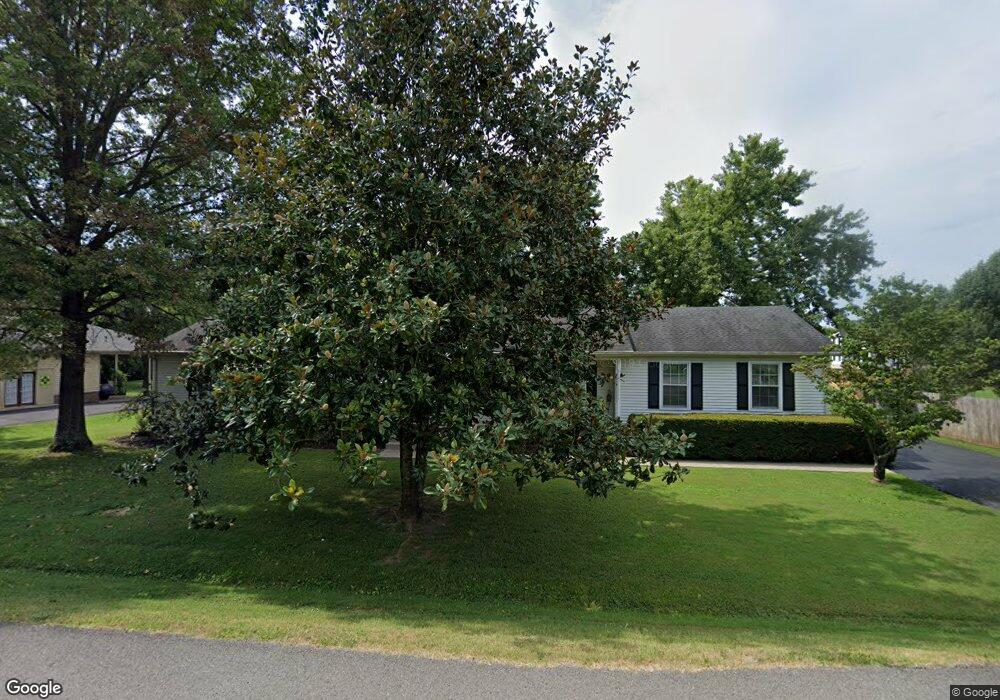
552 Laurel Ln Murfreesboro, TN 37127
Estimated Value: $392,366 - $465,000
Studio
2
Baths
2,146
Sq Ft
$201/Sq Ft
Est. Value
About This Home
This home is located at 552 Laurel Ln, Murfreesboro, TN 37127 and is currently estimated at $430,592, approximately $200 per square foot. 552 Laurel Ln is a home located in Rutherford County with nearby schools including Christiana Elementary School, Christiana Middle School, and Riverdale High School.
Ownership History
Date
Name
Owned For
Owner Type
Purchase Details
Closed on
Mar 6, 2009
Sold by
Cope Anne Carolyn
Bought by
Cope Ronnie L
Current Estimated Value
Purchase Details
Closed on
Feb 10, 2009
Sold by
Cope Annie Carolyn
Bought by
Cope Ronnie L
Purchase Details
Closed on
Oct 21, 2004
Sold by
Powers James H and Lou Mary
Bought by
Northside Homes Inc
Purchase Details
Closed on
May 10, 2004
Sold by
Powers James H and Lou Mary
Bought by
Cope Ronnie L and Cope Carolyn A
Purchase Details
Closed on
May 2, 1994
Sold by
Parker Bobby R
Bought by
Cope Ronnie L
Create a Home Valuation Report for This Property
The Home Valuation Report is an in-depth analysis detailing your home's value as well as a comparison with similar homes in the area
Home Values in the Area
Average Home Value in this Area
Purchase History
| Date | Buyer | Sale Price | Title Company |
|---|---|---|---|
| Cope Ronnie L | -- | -- | |
| Cope Ronnie L | -- | -- | |
| Cope Ronnie L | -- | -- | |
| Northside Homes Inc | $35,000 | -- | |
| Cope Ronnie L | $30,000 | -- | |
| Cope Ronnie L | -- | -- |
Source: Public Records
Tax History
| Year | Tax Paid | Tax Assessment Tax Assessment Total Assessment is a certain percentage of the fair market value that is determined by local assessors to be the total taxable value of land and additions on the property. | Land | Improvement |
|---|---|---|---|---|
| 2025 | $1,582 | $84,300 | $13,750 | $70,550 |
| 2024 | $1,582 | $84,300 | $13,750 | $70,550 |
| 2023 | $1,582 | $84,300 | $13,750 | $70,550 |
| 2022 | $1,363 | $84,325 | $13,750 | $70,575 |
| 2021 | $1,347 | $60,700 | $8,750 | $51,950 |
| 2020 | $1,347 | $60,700 | $8,750 | $51,950 |
| 2019 | $1,347 | $60,700 | $8,750 | $51,950 |
| 2018 | $1,274 | $60,700 | $0 | $0 |
| 2017 | $1,139 | $42,500 | $0 | $0 |
| 2016 | $1,139 | $42,500 | $0 | $0 |
| 2015 | $1,139 | $42,500 | $0 | $0 |
| 2014 | $1,057 | $42,500 | $0 | $0 |
| 2013 | -- | $39,300 | $0 | $0 |
Source: Public Records
Map
Nearby Homes
- 4801 Cynthia Ln
- 560 Crosswood Ct
- 4448 Jack Faulk St
- 1008 Glenda Dr
- 400 Rucker Rd
- 360 Rucker Rd
- 110 Copper Leaf Rd
- 113 Copper Leaf Rd
- 369 Ruby Cate Way
- 4505 Nickel Trace
- 525 Crimper Ln
- 509 Crimper Ln
- 513 Crimper Ln
- 505 Crimper Ln
- 520 Crimper Ln
- 508 Crimper Ln
- 4057 Shelbyville Hwy
- 319 Canonbury Way
- 4209 Fieldcrest Dr
- 4407 Bomeadows Dr
Your Personal Tour Guide
Ask me questions while you tour the home.