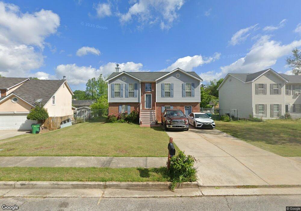
552 Sirocco Ct Forest Park, GA 30297
Estimated Value: $197,613 - $250,000
3
Beds
2
Baths
1,523
Sq Ft
$143/Sq Ft
Est. Value
About This Home
This home is located at 552 Sirocco Ct, Forest Park, GA 30297 and is currently estimated at $217,403, approximately $142 per square foot. 552 Sirocco Ct is a home located in Clayton County with nearby schools including Lake City Elementary School, Babb Middle School, and Forest Park High School.
Ownership History
Date
Name
Owned For
Owner Type
Purchase Details
Closed on
Dec 2, 2004
Sold by
Chanthalangsy Ounhevane
Bought by
Huon Yoeung
Current Estimated Value
Purchase Details
Closed on
Sep 29, 2000
Sold by
First Dimension Homes Inc
Bought by
Huon Yoeung
Home Financials for this Owner
Home Financials are based on the most recent Mortgage that was taken out on this home.
Original Mortgage
$97,648
Interest Rate
7.97%
Mortgage Type
FHA
Create a Home Valuation Report for This Property
The Home Valuation Report is an in-depth analysis detailing your home's value as well as a comparison with similar homes in the area
Home Values in the Area
Average Home Value in this Area
Purchase History
| Date | Buyer | Sale Price | Title Company |
|---|---|---|---|
| Huon Yoeung | $27,000 | -- | |
| Huon Yoeung | $107,500 | -- |
Source: Public Records
Mortgage History
| Date | Status | Borrower | Loan Amount |
|---|---|---|---|
| Previous Owner | Huon Yoeung | $97,648 |
Source: Public Records
Tax History Compared to Growth
Tax History
| Year | Tax Paid | Tax Assessment Tax Assessment Total Assessment is a certain percentage of the fair market value that is determined by local assessors to be the total taxable value of land and additions on the property. | Land | Improvement |
|---|---|---|---|---|
| 2025 | $887 | $70,920 | $6,400 | $64,520 |
| 2024 | $882 | $67,760 | $6,400 | $61,360 |
| 2023 | $500 | $68,440 | $6,400 | $62,040 |
| 2022 | $804 | $65,440 | $6,400 | $59,040 |
| 2021 | $550 | $47,280 | $6,400 | $40,880 |
| 2020 | $443 | $39,356 | $6,400 | $32,956 |
| 2019 | $397 | $35,477 | $6,000 | $29,477 |
| 2018 | $386 | $34,755 | $6,000 | $28,755 |
| 2017 | $310 | $28,704 | $6,000 | $22,704 |
| 2016 | $310 | $28,704 | $6,000 | $22,704 |
| 2015 | $301 | $0 | $0 | $0 |
| 2014 | $264 | $27,784 | $6,000 | $21,784 |
Source: Public Records
Map
Nearby Homes
- 548 Pineridge Dr Unit 1
- 5538 Pineridge Ct
- 655 Shellnut Dr Unit 2
- 5674 Sandhurst Dr
- 0 Ash St Unit 10563129
- 5355 Sharon St
- 5570 Ash St
- 5344 Sharon St
- 5690 Cypress Dr
- 743 Brookwood Dr
- 392 Fourth St
- 843 White Oak Dr
- 5125 West St
- 601 Melrose Dr
- 804 Linda Way
- 372 Second St
- 791 Alice St
- 5950 Springview Dr
- 718 South Ave
- 865 Oakdale Dr
- 544 Sirocco Ct
- 558 Sirocco Ct
- 543 Mistral Way
- 551 Mistral Way
- 535 Mistral Way
- 538 Sirocco Ct
- 562 Sirocco Ct
- 547 Sirocco Ct
- 559 Mistral Way
- 539 Sirocco Ct
- 527 Mistral Way
- 555 Sirocco Ct
- 530 Sirocco Ct
- 566 Sirocco Ct
- 567 Mistral Way
- 531 Sirocco Ct
- 519 Mistral Way Unit 519
- 519 Mistral Way
- 5503 Moriah Ln
- 561 Sirocco Ct