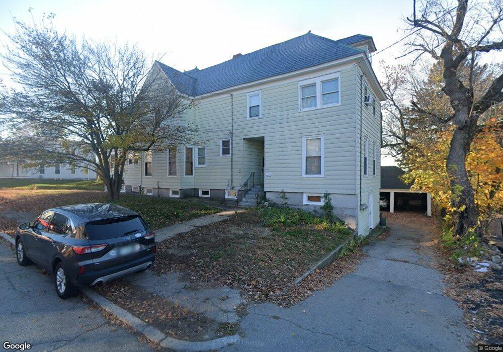
552 Spruce St Manchester, NH 03103
Hallsville NeighborhoodEstimated Value: $655,280 - $746,000
7
Beds
3
Baths
3,484
Sq Ft
$199/Sq Ft
Est. Value
About This Home
This home is located at 552 Spruce St, Manchester, NH 03103 and is currently estimated at $692,820, approximately $198 per square foot. 552 Spruce St is a home with nearby schools including Jewett Street Elementary School, Southside Middle School, and Manchester Memorial High School.
Ownership History
Date
Name
Owned For
Owner Type
Purchase Details
Closed on
Apr 1, 2004
Sold by
Browning Alan and Browning Nicole
Bought by
Woo Phillip K
Current Estimated Value
Home Financials for this Owner
Home Financials are based on the most recent Mortgage that was taken out on this home.
Original Mortgage
$237,600
Outstanding Balance
$111,031
Interest Rate
5.56%
Mortgage Type
Purchase Money Mortgage
Estimated Equity
$581,789
Create a Home Valuation Report for This Property
The Home Valuation Report is an in-depth analysis detailing your home's value as well as a comparison with similar homes in the area
Home Values in the Area
Average Home Value in this Area
Purchase History
| Date | Buyer | Sale Price | Title Company |
|---|---|---|---|
| Woo Phillip K | $297,000 | -- |
Source: Public Records
Mortgage History
| Date | Status | Borrower | Loan Amount |
|---|---|---|---|
| Open | Woo Phillip K | $237,600 |
Source: Public Records
Tax History Compared to Growth
Tax History
| Year | Tax Paid | Tax Assessment Tax Assessment Total Assessment is a certain percentage of the fair market value that is determined by local assessors to be the total taxable value of land and additions on the property. | Land | Improvement |
|---|---|---|---|---|
| 2024 | $8,537 | $436,000 | $93,900 | $342,100 |
| 2023 | $8,223 | $436,000 | $93,900 | $342,100 |
| 2022 | $7,953 | $436,000 | $93,900 | $342,100 |
| 2021 | $7,708 | $436,000 | $93,900 | $342,100 |
| 2020 | $5,691 | $270,000 | $64,800 | $205,200 |
| 2019 | $6,566 | $270,000 | $64,800 | $205,200 |
| 2018 | $5,339 | $270,000 | $64,800 | $205,200 |
| 2017 | $6,296 | $270,000 | $64,800 | $205,200 |
| 2016 | $6,248 | $270,000 | $64,800 | $205,200 |
| 2015 | $6,209 | $264,900 | $64,800 | $200,100 |
| 2014 | $6,225 | $264,900 | $64,800 | $200,100 |
| 2013 | $6,005 | $264,900 | $64,800 | $200,100 |
Source: Public Records
Map
Nearby Homes
- 440 Laurel St
- 10 Hayes Ave
- 662 Amherst St
- 527 Hanover St
- 335 Cypress St Unit 4A
- 335 Cypress St Unit 2P
- 651 Summer St
- 635 Green St
- 625 Green St
- 426 Manchester St
- 383 Concord St
- 445 E High St
- 601 Hall St
- 383 Concord St Hcrd Plan 42577
- 383 Manchester St
- 379 Manchester St
- 377 Manchester St
- 146 Woodbine Ave
- 201 Jewett St
- 352 Lowell St
- 544 Spruce St
- 558 Spruce St
- 599 Lake Ave
- 74 Canton St
- 591 Lake(upper) Ave
- 562 Spruce St
- 605 Lake Ave
- 536 Spruce St
- 587 "Upper" Lake Ave
- 587 Lake Ave
- 537 Spruce St
- 609 Lake Ave
- 71 Canton St Unit 1
- 609 Upper Lake Ave
- 587 (Upper) Lake Ave
- 581 Lake Ave
- 561 Spruce St
- 535 Spruce St
- 535 Spruce St Unit 2
- 534 Spruce St