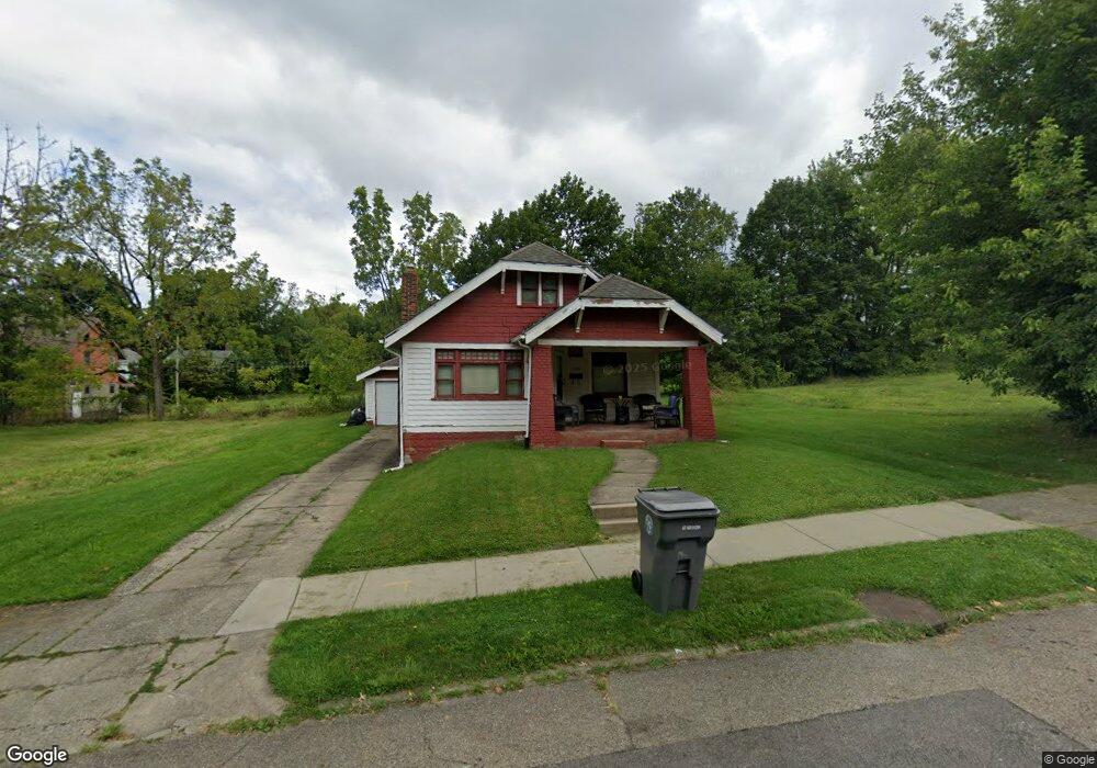
552 W Delason Ave Youngstown, OH 44511
Warren NeighborhoodEstimated Value: $44,292 - $70,000
3
Beds
1
Bath
1,332
Sq Ft
$44/Sq Ft
Est. Value
About This Home
This home is located at 552 W Delason Ave, Youngstown, OH 44511 and is currently estimated at $58,323, approximately $43 per square foot. 552 W Delason Ave is a home located in Mahoning County with nearby schools including Kirkmere Elementary School, Chaney High School, and South Side Academy.
Ownership History
Date
Name
Owned For
Owner Type
Purchase Details
Closed on
Sep 20, 2016
Sold by
Jubilee Christian Community Development
Bought by
Terrell Malcolm
Current Estimated Value
Purchase Details
Closed on
Dec 8, 2009
Sold by
Jubilee Christian Community Development
Bought by
Jackson Carl and Jackson Laverne
Home Financials for this Owner
Home Financials are based on the most recent Mortgage that was taken out on this home.
Original Mortgage
$10,000
Interest Rate
6%
Mortgage Type
Seller Take Back
Purchase Details
Closed on
Jun 21, 1993
Bought by
Jubilee Urban Renewal Crp
Create a Home Valuation Report for This Property
The Home Valuation Report is an in-depth analysis detailing your home's value as well as a comparison with similar homes in the area
Home Values in the Area
Average Home Value in this Area
Purchase History
| Date | Buyer | Sale Price | Title Company |
|---|---|---|---|
| Terrell Malcolm | -- | None Available | |
| Jackson Carl | $10,000 | Attorney | |
| Jubilee Urban Renewal Crp | -- | -- |
Source: Public Records
Mortgage History
| Date | Status | Borrower | Loan Amount |
|---|---|---|---|
| Previous Owner | Jackson Carl | $10,000 |
Source: Public Records
Tax History Compared to Growth
Tax History
| Year | Tax Paid | Tax Assessment Tax Assessment Total Assessment is a certain percentage of the fair market value that is determined by local assessors to be the total taxable value of land and additions on the property. | Land | Improvement |
|---|---|---|---|---|
| 2024 | $222 | $4,610 | $260 | $4,350 |
| 2023 | $220 | $4,610 | $260 | $4,350 |
| 2022 | $210 | $3,380 | $220 | $3,160 |
| 2021 | $210 | $3,380 | $220 | $3,160 |
| 2020 | $211 | $3,380 | $220 | $3,160 |
| 2019 | $207 | $2,940 | $190 | $2,750 |
| 2018 | $209 | $2,940 | $190 | $2,750 |
| 2017 | $217 | $2,940 | $190 | $2,750 |
| 2016 | $228 | $3,410 | $190 | $3,220 |
| 2015 | $224 | $3,410 | $190 | $3,220 |
| 2014 | $222 | $3,410 | $190 | $3,220 |
| 2013 | $219 | $3,410 | $190 | $3,220 |
Source: Public Records
Map
Nearby Homes
- 527 W Chalmers Ave
- 597 W Warren Ave
- 520 Kenmore Ave
- 723 Mineral Springs Ave
- 738 Mineral Springs Ave
- 725 Mineral Springs Ave
- 408 W Earle Ave
- 401 Chicago Ave
- 406 Breaden St
- 411 Saint Louis Ave
- 152 Regent St
- 153 W Warren Ave
- 148 Saint Louis Ave
- 802 W Laclede Ave
- 199 W Princeton Ave
- 2615 Hillman St
- 1723 Overlook Ave
- 1835 Mccollum Rd
- 1651 Price Rd
- 804 S Belle Vista Ave
- 581 Willis Ave
- 564 W Delason Ave
- 569 Willis Ave
- 587 Willis Ave
- 551 W Delason Ave
- 536 W Delason Ave
- 565 Willis Ave
- 547 W Delason Ave
- 557 W Delason Ave
- 589 Willis Ave
- 566 W Delason Ave
- 561 W Delason Ave
- 561 Willis Ave
- 591 Willis Ave
- 539 W Delason Ave
- 532 W Delason Ave
- 565 W Delason Ave
- 555 Willis Ave
- 595 Willis Ave
- 580 Willis Ave