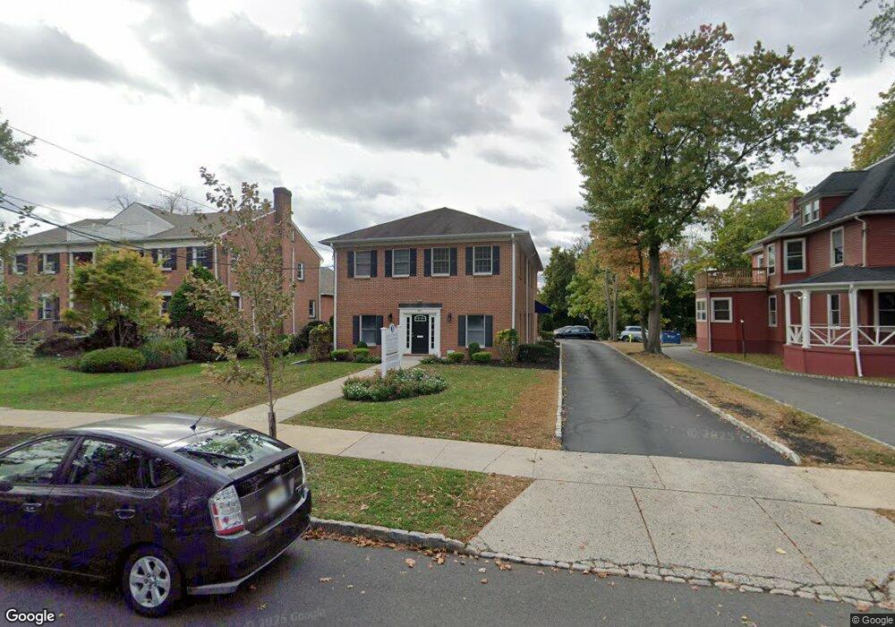
552 Westfield Ave Westfield, NJ 07090
Estimated Value: $1,459,123
--
Bed
--
Bath
900
Sq Ft
$1,621/Sq Ft
Est. Value
About This Home
This home is located at 552 Westfield Ave, Westfield, NJ 07090 and is currently estimated at $1,459,123, approximately $1,621 per square foot. 552 Westfield Ave is a home located in Union County with nearby schools including McKinley Elementary School, Edison Intermediate School, and Westfield Senior High School.
Ownership History
Date
Name
Owned For
Owner Type
Purchase Details
Closed on
Sep 27, 2016
Sold by
Jlsx Realty Corp
Bought by
Rutnerco Llc
Current Estimated Value
Home Financials for this Owner
Home Financials are based on the most recent Mortgage that was taken out on this home.
Original Mortgage
$950,000
Outstanding Balance
$762,568
Interest Rate
3.5%
Mortgage Type
Purchase Money Mortgage
Estimated Equity
$696,555
Purchase Details
Closed on
Dec 10, 2007
Sold by
Mjn Holdings Llc
Bought by
Jlsx Realty Corp
Purchase Details
Closed on
Aug 27, 2002
Sold by
Dooley Joseph
Bought by
Novello Michael and Novello Frank
Home Financials for this Owner
Home Financials are based on the most recent Mortgage that was taken out on this home.
Original Mortgage
$365,000
Interest Rate
6.27%
Mortgage Type
Commercial
Create a Home Valuation Report for This Property
The Home Valuation Report is an in-depth analysis detailing your home's value as well as a comparison with similar homes in the area
Home Values in the Area
Average Home Value in this Area
Purchase History
| Date | Buyer | Sale Price | Title Company |
|---|---|---|---|
| Rutnerco Llc | $1,187,500 | -- | |
| Jlsx Realty Corp | $900,000 | Multiple | |
| Novello Michael | $740,000 | -- |
Source: Public Records
Mortgage History
| Date | Status | Borrower | Loan Amount |
|---|---|---|---|
| Open | Rutnerco Llc | $950,000 | |
| Previous Owner | Novello Michael | $365,000 |
Source: Public Records
Tax History Compared to Growth
Tax History
| Year | Tax Paid | Tax Assessment Tax Assessment Total Assessment is a certain percentage of the fair market value that is determined by local assessors to be the total taxable value of land and additions on the property. | Land | Improvement |
|---|---|---|---|---|
| 2025 | $25,567 | $1,135,300 | $519,000 | $616,300 |
| 2024 | $25,045 | $1,135,300 | $519,000 | $616,300 |
| 2023 | $25,045 | $1,135,300 | $519,000 | $616,300 |
| 2022 | $24,522 | $1,135,300 | $519,000 | $616,300 |
| 2021 | $24,557 | $1,135,300 | $519,000 | $616,300 |
| 2020 | $24,500 | $1,135,300 | $519,000 | $616,300 |
| 2019 | $24,409 | $1,135,300 | $519,000 | $616,300 |
| 2018 | $25,818 | $277,700 | $131,300 | $146,400 |
| 2017 | $25,676 | $277,700 | $131,300 | $146,400 |
| 2016 | $25,074 | $277,700 | $131,300 | $146,400 |
| 2015 | $24,574 | $277,700 | $131,300 | $146,400 |
| 2014 | $23,763 | $277,700 | $131,300 | $146,400 |
Source: Public Records
Map
Nearby Homes
- 538 Westfield Ave
- 522 Boulevard
- 215 Ross Place Unit J
- 203 Ross Place
- 525 Edgar Rd
- 724 South Ave W Unit 724A
- 652 W Broad St
- 814 Summit Ave
- 817 Summit Ave
- 608 Hort St
- 834 Tice Place
- 314 Highgate Ave
- 534 E Broad St
- 676 Vermont St
- 119 Lamberts Mill Rd
- 1466 Lamberts Mill Rd
- 415 Highland Ave
- 2154 W Broad St
- 629 Clark St
- 559 Lawrence Ave
- 552 Westfield Ave Unit 2B
- 546 Westfield Ave
- 546 Westfield Ave Unit 2
- 542 Westfield Ave
- 542 Westfield Ave Unit B
- 551 Trinity Place
- 553 Trinity Place
- 549 Trinity Place
- 561 Trinity Place
- 566 Westfield Ave Unit 3
- 566 Westfield Ave Unit 2
- 545 Trinity Place
- 545 Trinity Place Unit 2
- 545 Trinity Place Unit 1
- 563 Trinity Place
- 569 Trinity Place
- 569 Trinity Place Unit 1
- 549 Westfield Ave
- 545 Westfield Ave
- 545 Westfield Ave Unit 1