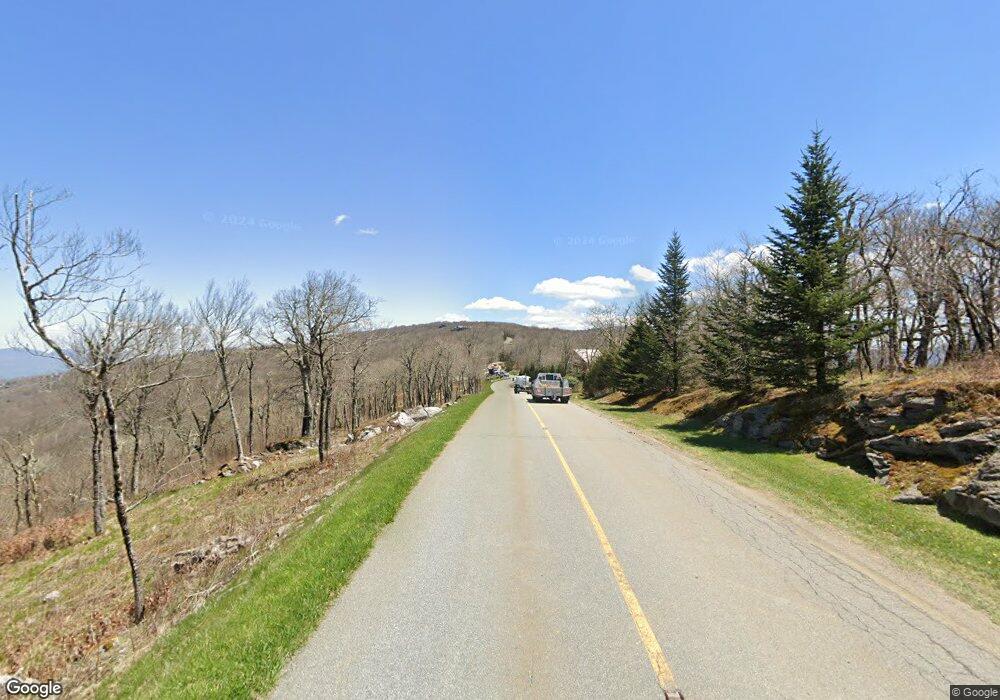
5520 Eagles Nest Trail Banner Elk, NC 28604
Estimated Value: $149,000 - $383,000
--
Bed
--
Bath
--
Sq Ft
1.22
Acres
About This Home
This home is located at 5520 Eagles Nest Trail, Banner Elk, NC 28604 and is currently estimated at $229,174. 5520 Eagles Nest Trail is a home with nearby schools including Freedom Trail Elementary School and Cranberry Middle School.
Ownership History
Date
Name
Owned For
Owner Type
Purchase Details
Closed on
Sep 26, 2022
Sold by
Mataya Marc James
Bought by
Lindstrand Jill A and Carugno Dino
Current Estimated Value
Home Financials for this Owner
Home Financials are based on the most recent Mortgage that was taken out on this home.
Original Mortgage
$97,500
Outstanding Balance
$83,643
Interest Rate
4.85%
Mortgage Type
New Conventional
Estimated Equity
$145,531
Purchase Details
Closed on
Mar 27, 2017
Sold by
Regdos Alan George and Regdos Stephanie Ann
Bought by
Mataya Marc James
Purchase Details
Closed on
Sep 5, 2013
Sold by
Enbe Llc
Bought by
Regdos Alan G and Regdos Stephanie A
Home Financials for this Owner
Home Financials are based on the most recent Mortgage that was taken out on this home.
Original Mortgage
$52,883
Interest Rate
4.31%
Mortgage Type
Future Advance Clause Open End Mortgage
Create a Home Valuation Report for This Property
The Home Valuation Report is an in-depth analysis detailing your home's value as well as a comparison with similar homes in the area
Home Values in the Area
Average Home Value in this Area
Purchase History
| Date | Buyer | Sale Price | Title Company |
|---|---|---|---|
| Lindstrand Jill A | $130,000 | -- | |
| Mataya Marc James | $85,000 | None Available | |
| Regdos Alan G | $75,000 | None Available |
Source: Public Records
Mortgage History
| Date | Status | Borrower | Loan Amount |
|---|---|---|---|
| Open | Lindstrand Jill A | $97,500 | |
| Previous Owner | Regdos Alan G | $52,883 |
Source: Public Records
Tax History Compared to Growth
Tax History
| Year | Tax Paid | Tax Assessment Tax Assessment Total Assessment is a certain percentage of the fair market value that is determined by local assessors to be the total taxable value of land and additions on the property. | Land | Improvement |
|---|---|---|---|---|
| 2024 | $480 | $120,000 | $120,000 | -- |
| 2023 | $480 | $120,000 | $120,000 | $0 |
| 2022 | $0 | $120,000 | $120,000 | $0 |
| 2021 | $440 | $80,000 | $80,000 | $0 |
| 2020 | $440 | $80,000 | $80,000 | $0 |
| 2019 | $440 | $80,000 | $80,000 | $0 |
| 2018 | $440 | $80,000 | $80,000 | $0 |
| 2017 | $413 | $75,000 | $0 | $0 |
| 2016 | $335 | $75,000 | $0 | $0 |
| 2015 | $335 | $75,000 | $75,000 | $0 |
Source: Public Records
Map
Nearby Homes
- R-7 Eagle Camp Overlook
- 0 Eagles Nest Trail
- 26 High Country Overlook
- 303 High Country Overlook
- 47 Eagle Park Cir
- 9 High Country Overlook
- 77 Eagles Nest Trail
- 273 High Country Overlook
- Lot 93 Peregrine Trail
- 91 Peregrine Trail
- O-28 High Country Overlook
- Lot 90 Eagles Nest Trail
- 95 Vineyard Trail
- RS1 Skywest Pkwy
- 00 Eagle Park Dr Unit 107
- VV-9 Vineyard Trail
- RS7 Skywest Pkwy
- ES49 Rippling Waters Trail
- 72 Eagle Creek Trail
- F2 High Valley Overlook
- EN N 98 Eagles Nest Trail
- 237 High Country Overlook
- 81 Eagles Nest Trail
- N-95 Eagles Nest Trail
- Lot 95 Eagles Nest Trail
- 40 High Country Cir
- 22 High Country Ct
- Lot 94 Eagles Nest Trail
- 105 Eagles Nest Trafficway
- 330 High Country Overlook
- 101 Trail Wood Cove
- 58 High Valley Overlook
- 116 Peregrine Trail
- 148 Sky Rock Path
- 63 Eagle Park Cir
- 47 Eagle Park Cir Unit 5
- 54 Peregrine Trail
- 39 Eagle Park Cir
- 97 Eagles Nest Trail
- 138 Sky Rock Path
