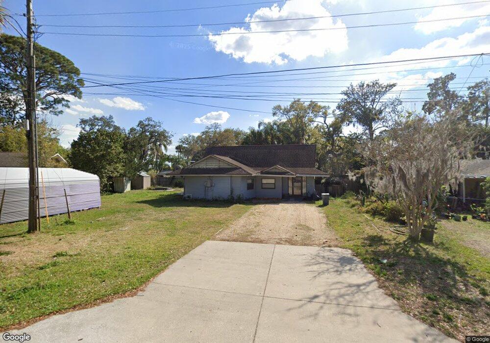
5520 Magnolia Ave Port Orange, FL 32127
Harbor Oaks NeighborhoodEstimated Value: $200,000 - $349,000
3
Beds
2
Baths
1,593
Sq Ft
$170/Sq Ft
Est. Value
About This Home
This home is located at 5520 Magnolia Ave, Port Orange, FL 32127 and is currently estimated at $271,001, approximately $170 per square foot. 5520 Magnolia Ave is a home located in Volusia County with nearby schools including Port Orange Elementary School, Silver Sands Middle School, and Spruce Creek High School.
Ownership History
Date
Name
Owned For
Owner Type
Purchase Details
Closed on
Jul 22, 2022
Sold by
Poulin Laurier T
Bought by
Mitchell Hunter and Mcdonald Kelly
Current Estimated Value
Home Financials for this Owner
Home Financials are based on the most recent Mortgage that was taken out on this home.
Original Mortgage
$183,750
Outstanding Balance
$175,858
Interest Rate
5.81%
Mortgage Type
FHA
Estimated Equity
$95,143
Create a Home Valuation Report for This Property
The Home Valuation Report is an in-depth analysis detailing your home's value as well as a comparison with similar homes in the area
Home Values in the Area
Average Home Value in this Area
Purchase History
| Date | Buyer | Sale Price | Title Company |
|---|---|---|---|
| Mitchell Hunter | $187,140 | Clear Title |
Source: Public Records
Mortgage History
| Date | Status | Borrower | Loan Amount |
|---|---|---|---|
| Open | Mitchell Hunter | $183,750 |
Source: Public Records
Tax History Compared to Growth
Tax History
| Year | Tax Paid | Tax Assessment Tax Assessment Total Assessment is a certain percentage of the fair market value that is determined by local assessors to be the total taxable value of land and additions on the property. | Land | Improvement |
|---|---|---|---|---|
| 2025 | $2,108 | $164,525 | -- | -- |
| 2024 | $2,108 | $159,889 | -- | -- |
| 2023 | $2,108 | $155,233 | $56,610 | $98,623 |
| 2022 | $647 | $137,322 | $43,881 | $93,441 |
| 2021 | $722 | $74,104 | $0 | $0 |
| 2020 | $714 | $73,081 | $0 | $0 |
| 2019 | $704 | $71,438 | $0 | $0 |
| 2018 | $711 | $70,106 | $0 | $0 |
| 2017 | $720 | $68,664 | $0 | $0 |
| 2016 | $719 | $67,252 | $0 | $0 |
| 2015 | $741 | $66,785 | $0 | $0 |
| 2014 | $747 | $66,255 | $0 | $0 |
Source: Public Records
Map
Nearby Homes
- 5561 Magnolia Ave
- 5563 W Magnolia Ave
- 5650 Palm Ave
- 720 Palm Cir Dr
- 720 Palm Circle Dr
- 5585 Lancewood Cir S Unit S
- 5585 Lancewood Cir S
- 18 E Magnolia Ave
- 411 Acacia Cir
- 88 E Bayshore Dr
- 5476 W Bayshore Dr
- 418 Acacia Cir
- 24 Oak St
- 5948 Riverside Dr
- 5508 Lancewood Cir N
- 5967 Riverside Dr
- 276 Farmbrook Rd
- 5697 Christiancy Ave
- 5478 Landis Ave
- 5961 S Ridgewood Ave
- 5516 Magnolia Ave
- 5528 Magnolia Ave
- 5533 W Bayshore Dr
- 5535 W Bayshore Dr
- 5531 W Bayshore Dr
- 5512 Magnolia Ave
- 5537 W Bayshore Dr
- 5529 W Bayshore Dr
- 5532 Magnolia Ave
- 5525 Magnolia Ave
- 5539 W Bayshore Dr
- 5515 Magnolia Ave
- 5527 W Bayshore Dr
- 5541 W Bayshore Dr
- 5508 Magnolia Ave
- 5508 W Magnolia Ave
- 5525 W Bayshore Dr
- 5540 Magnolia Ave
- 5535 Magnolia Ave
- 5505 Magnolia Ave