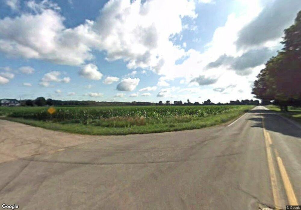
5520 W David Hwy Saranac, MI 48881
Estimated Value: $303,000 - $378,000
--
Bed
--
Bath
1,568
Sq Ft
$219/Sq Ft
Est. Value
About This Home
This home is located at 5520 W David Hwy, Saranac, MI 48881 and is currently estimated at $342,834, approximately $218 per square foot. 5520 W David Hwy is a home with nearby schools including Saranac Elementary School and Saranac Junior/Senior High School.
Ownership History
Date
Name
Owned For
Owner Type
Purchase Details
Closed on
Feb 11, 2013
Sold by
Stewart John S and Stewart Sally
Bought by
Stewart John S and Stewart Sally
Current Estimated Value
Home Financials for this Owner
Home Financials are based on the most recent Mortgage that was taken out on this home.
Original Mortgage
$124,300
Outstanding Balance
$86,611
Interest Rate
3.34%
Mortgage Type
New Conventional
Estimated Equity
$256,223
Purchase Details
Closed on
Jul 17, 1996
Bought by
Stewart John S and Stewart Sally G
Create a Home Valuation Report for This Property
The Home Valuation Report is an in-depth analysis detailing your home's value as well as a comparison with similar homes in the area
Home Values in the Area
Average Home Value in this Area
Purchase History
| Date | Buyer | Sale Price | Title Company |
|---|---|---|---|
| Stewart John S | -- | Independent Title Services I | |
| Stewart John S | $38,500 | -- |
Source: Public Records
Mortgage History
| Date | Status | Borrower | Loan Amount |
|---|---|---|---|
| Open | Stewart John S | $124,300 |
Source: Public Records
Tax History Compared to Growth
Tax History
| Year | Tax Paid | Tax Assessment Tax Assessment Total Assessment is a certain percentage of the fair market value that is determined by local assessors to be the total taxable value of land and additions on the property. | Land | Improvement |
|---|---|---|---|---|
| 2025 | $3,022 | $147,600 | $44,600 | $103,000 |
| 2024 | $1,065 | $147,600 | $44,600 | $103,000 |
| 2023 | $1,016 | $118,900 | $32,800 | $86,100 |
| 2022 | $967 | $118,900 | $32,800 | $86,100 |
| 2021 | $2,679 | $106,200 | $29,200 | $77,000 |
| 2020 | $928 | $106,200 | $29,200 | $77,000 |
| 2019 | $856 | $101,500 | $26,800 | $74,700 |
| 2018 | $2,435 | $88,700 | $25,600 | $63,100 |
| 2017 | $863 | $88,700 | $25,600 | $63,100 |
| 2016 | $856 | $33,200 | $25,100 | $8,100 |
| 2015 | -- | $33,200 | $25,100 | $8,100 |
| 2014 | -- | $32,400 | $25,100 | $7,300 |
Source: Public Records
Map
Nearby Homes
- 33 Fuller St
- 359 Mill St
- 83 Main St
- 6973 Bluewater Hwy
- 160 Division St
- 5210 Bluewater Hwy
- 5650 Morrison Lake Rd
- 0 Sayles Rd Unit 25051613
- 3500 Lee Rd
- 778 McKinch Dr
- Parcel A Sayles Rd
- 6900 Morrison Lake Rd
- 4336 Ainsworth Rd
- 5648 Ivan Rd
- 8780 Peck Lake Rd
- 1651 Bennett Rd
- 8965 Peck Lake Rd
- 1979 W Riverside Dr
- 5272 Marvie Dr
- 6342 Lakeshore Dr
- 5480 W David Hwy
- 5519 W David Hwy Unit 5523
- 5519 W David Hwy
- 5626 W David Hwy
- 5499 W David Hwy
- 5639 W David Hwy
- 5395 W David Hwy
- 4067 Runners Ct
- 5352 W David Hwy
- 5345 W David Hwy
- 5750 W David Hwy
- 5349 W David Hwy
- 4104 Runners Ct
- 4062 Runners Ct
- 5776 W David Hwy
- 5776 W David Hwy
- 5300 W David Hwy
- 5725 W David Hwy
- 5810 W David Hwy
- 5815 W David Hwy
