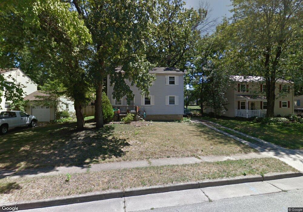
5520 Walnut Ave Pennsauken, NJ 08109
Estimated Value: $240,399 - $354,000
--
Bed
--
Bath
1,504
Sq Ft
$210/Sq Ft
Est. Value
About This Home
This home is located at 5520 Walnut Ave, Pennsauken, NJ 08109 and is currently estimated at $315,850, approximately $210 per square foot. 5520 Walnut Ave is a home located in Camden County with nearby schools including Pennsauken High School, St. Peter Elementary School, and St. Cecilia School.
Ownership History
Date
Name
Owned For
Owner Type
Purchase Details
Closed on
Aug 27, 1993
Sold by
Didio Peter D
Bought by
Watts William and Watts Patricia
Current Estimated Value
Home Financials for this Owner
Home Financials are based on the most recent Mortgage that was taken out on this home.
Original Mortgage
$100,000
Interest Rate
7.1%
Mortgage Type
FHA
Create a Home Valuation Report for This Property
The Home Valuation Report is an in-depth analysis detailing your home's value as well as a comparison with similar homes in the area
Home Values in the Area
Average Home Value in this Area
Purchase History
| Date | Buyer | Sale Price | Title Company |
|---|---|---|---|
| Watts William | $100,000 | -- |
Source: Public Records
Mortgage History
| Date | Status | Borrower | Loan Amount |
|---|---|---|---|
| Closed | Watts William | $100,000 |
Source: Public Records
Tax History Compared to Growth
Tax History
| Year | Tax Paid | Tax Assessment Tax Assessment Total Assessment is a certain percentage of the fair market value that is determined by local assessors to be the total taxable value of land and additions on the property. | Land | Improvement |
|---|---|---|---|---|
| 2025 | $6,767 | $289,600 | $64,200 | $225,400 |
| 2024 | $6,637 | $155,500 | $48,400 | $107,100 |
| 2023 | $6,637 | $155,500 | $48,400 | $107,100 |
| 2022 | $6,001 | $155,500 | $48,400 | $107,100 |
| 2021 | $6,162 | $155,500 | $48,400 | $107,100 |
| 2020 | $5,520 | $155,500 | $48,400 | $107,100 |
| 2019 | $5,498 | $153,100 | $48,400 | $104,700 |
| 2018 | $5,339 | $147,900 | $48,400 | $99,500 |
| 2017 | $5,350 | $147,900 | $48,400 | $99,500 |
| 2016 | $5,253 | $147,900 | $48,400 | $99,500 |
| 2015 | $5,410 | $147,900 | $48,400 | $99,500 |
| 2014 | $5,401 | $97,100 | $25,900 | $71,200 |
Source: Public Records
Map
Nearby Homes
- 3300 Springfield Ave
- 5532 Whitman Terrace
- 5745 Cedar Ave
- 3204 Merchantville Ave
- 3241 N 48th St
- 6116 Rogers Ave
- 320 W Maple Ave
- 21 Alexander Ave
- 41 Alexander Ave
- 15 W Walnut Ave
- 220 Volans St
- 116 N Centre St
- 5507 Wayne Ave
- 2446 46th St
- 6151 Harvey Ave
- 6134 Grant Ave
- 2905 N Centre St
- 2254 Hollinshed Ave
- 2154 Browning Rd
- 12 E Maple Ave Unit 18
- 5510 Walnut Ave
- 5530 Walnut Ave
- 3317 Springfield Ave
- 5540 Walnut Ave
- 5500 Walnut Ave
- 3325 Springfield Ave
- 3330 Lexington Ave
- 5517 Walnut Ave
- 5525 Walnut Ave
- 5509 Walnut Ave
- 3331 Springfield Ave
- 5533 Walnut Ave
- 5501 Walnut Ave
- 5541 Walnut Ave
- 3337 Springfield Ave
- 3338 Lexington Ave
- 5549 Walnut Ave
- 5041 Walnut Ave
- 5516 Whitman Terrace
- 5040 Walnut Ave