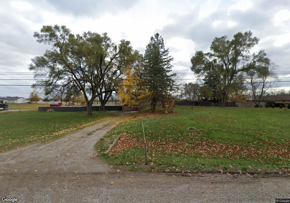
5521 W M 21 Owosso, MI 48867
Estimated Value: $154,000 - $333,066
--
Bed
--
Bath
--
Sq Ft
--
Built
About This Home
This home is located at 5521 W M 21, Owosso, MI 48867 and is currently estimated at $284,017. 5521 W M 21 is a home located in Shiawassee County with nearby schools including Leonard Elementary School, E.E. Knight Elementary School, and Ovid-Elsie Middle School.
Ownership History
Date
Name
Owned For
Owner Type
Purchase Details
Closed on
May 12, 2020
Sold by
Percival Kyle and Percival Ashleigh
Bought by
Percival Kyle and Percival Ashleigh
Current Estimated Value
Home Financials for this Owner
Home Financials are based on the most recent Mortgage that was taken out on this home.
Original Mortgage
$182,400
Outstanding Balance
$161,632
Interest Rate
3.3%
Mortgage Type
New Conventional
Estimated Equity
$122,385
Purchase Details
Closed on
Jun 3, 2009
Sold by
Leslie Ray Inc
Bought by
Chemical Bank
Create a Home Valuation Report for This Property
The Home Valuation Report is an in-depth analysis detailing your home's value as well as a comparison with similar homes in the area
Home Values in the Area
Average Home Value in this Area
Purchase History
| Date | Buyer | Sale Price | Title Company |
|---|---|---|---|
| Percival Kyle | -- | None Available | |
| Chemical Bank | -- | -- |
Source: Public Records
Mortgage History
| Date | Status | Borrower | Loan Amount |
|---|---|---|---|
| Open | Percival Kyle | $182,400 |
Source: Public Records
Tax History Compared to Growth
Tax History
| Year | Tax Paid | Tax Assessment Tax Assessment Total Assessment is a certain percentage of the fair market value that is determined by local assessors to be the total taxable value of land and additions on the property. | Land | Improvement |
|---|---|---|---|---|
| 2025 | $3,085 | $142,900 | $0 | $0 |
| 2024 | $3,085 | $133,500 | $0 | $0 |
| 2023 | $1,095 | $120,600 | $0 | $0 |
| 2022 | $1,873 | $98,000 | $0 | $0 |
| 2021 | $2,806 | $87,500 | $0 | $0 |
| 2020 | $1,770 | $87,700 | $0 | $0 |
| 2019 | $0 | $5,400 | $0 | $0 |
| 2018 | $726 | $5,400 | $0 | $0 |
| 2017 | $732 | $4,500 | $0 | $0 |
| 2016 | -- | $4,500 | $0 | $0 |
| 2015 | -- | $4,500 | $0 | $0 |
| 2014 | -- | $4,500 | $0 | $0 |
Source: Public Records
Map
Nearby Homes
- 4600 W M 21
- 1279 Leland Rd
- 2930 S Ruess Rd
- 1907 Krouse Rd
- 9077 W M 21
- V/L 2 ACRE Baldwin Rd
- 700 Nafus St
- 717 Nafus St
- 539 W Wildwood Dr
- 1408 W Main St
- 117 Elliot St
- 1406 Buckley Dr
- 1339 Olmstead St
- 326 E Clinton St
- 4101 Shaftsburg Rd
- 247 E 1st St
- 817 S Chipman St
- 1610 W South St
- V/L W South St
- 911 Beehler St