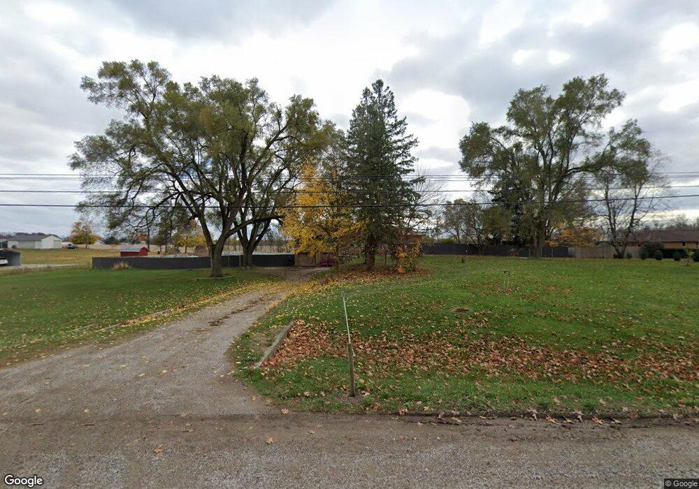
5521 W M 21 Owosso, MI 48867
Estimated Value: $47,000 - $207,000
--
Bed
--
Bath
--
Sq Ft
1.06
Acres
About This Home
This home is located at 5521 W M 21, Owosso, MI 48867 and is currently estimated at $109,667. 5521 W M 21 is a home located in Shiawassee County with nearby schools including Leonard Elementary School, E.E. Knight Elementary School, and Ovid-Elsie Middle School.
Ownership History
Date
Name
Owned For
Owner Type
Purchase Details
Closed on
Sep 18, 2020
Sold by
Kelley Larry and Kelley Brenda
Bought by
Kus Joda and Kus Janine
Current Estimated Value
Purchase Details
Closed on
Jun 14, 2016
Sold by
Chemical Bank
Bought by
Riley April M and Riley Travis J
Purchase Details
Closed on
Sep 24, 2014
Sold by
State Of Michigan
Bought by
Kelley Larry
Purchase Details
Closed on
Mar 13, 2013
Sold by
Bates Robert L and Bates Elizabeth A
Bought by
Dunchock Dianne
Purchase Details
Closed on
Sep 29, 2010
Sold by
Dept Of Treasury Of Michhigan
Bought by
Bates Bobert
Create a Home Valuation Report for This Property
The Home Valuation Report is an in-depth analysis detailing your home's value as well as a comparison with similar homes in the area
Home Values in the Area
Average Home Value in this Area
Purchase History
| Date | Buyer | Sale Price | Title Company |
|---|---|---|---|
| Kus Joda | -- | None Available | |
| Riley April M | $337,209 | -- | |
| Kelley Larry | -- | -- | |
| Dunchock Dianne | -- | -- | |
| Bates Bobert | -- | -- |
Source: Public Records
Tax History Compared to Growth
Tax History
| Year | Tax Paid | Tax Assessment Tax Assessment Total Assessment is a certain percentage of the fair market value that is determined by local assessors to be the total taxable value of land and additions on the property. | Land | Improvement |
|---|---|---|---|---|
| 2025 | $671 | $7,200 | $0 | $0 |
| 2024 | $671 | $6,000 | $0 | $0 |
| 2023 | $55 | $4,800 | $0 | $0 |
| 2022 | $591 | $4,800 | $0 | $0 |
| 2021 | $690 | $4,800 | $0 | $0 |
| 2020 | $540 | $4,800 | $0 | $0 |
| 2019 | $0 | $5,400 | $0 | $0 |
| 2018 | $608 | $5,400 | $0 | $0 |
| 2017 | $613 | $4,500 | $0 | $0 |
| 2016 | $188 | $4,500 | $0 | $0 |
| 2015 | $188 | $4,500 | $0 | $0 |
| 2014 | -- | $4,500 | $0 | $0 |
Source: Public Records
Map
Nearby Homes
- 4600 W M 21
- 1279 Leland Rd
- 2930 S Ruess Rd
- 1907 Krouse Rd
- 9077 W M 21
- V/L 2 ACRE Baldwin Rd
- 700 Nafus St
- 717 Nafus St
- 539 W Wildwood Dr
- 1408 W Main St
- 117 Elliot St
- 1406 Buckley Dr
- 1339 Olmstead St
- 326 E Clinton St
- 4101 Shaftsburg Rd
- 247 E 1st St
- 817 S Chipman St
- 1610 W South St
- V/L W South St
- 911 Beehler St