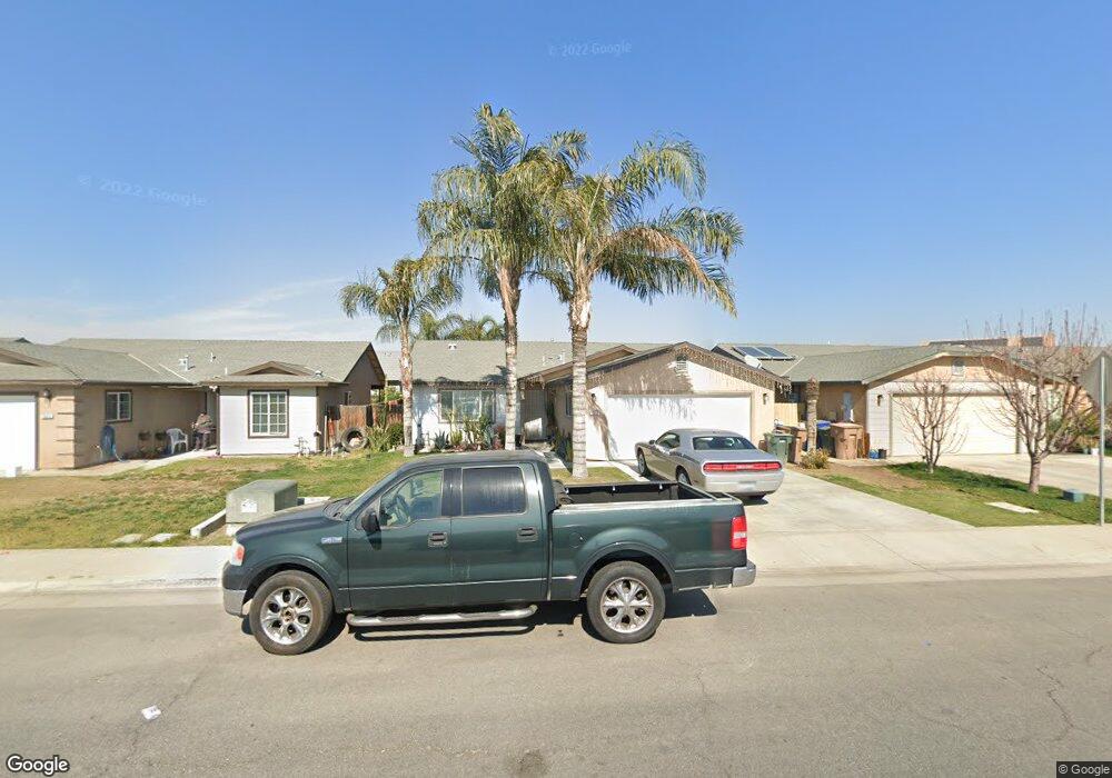
5522 Mckee Rd Bakersfield, CA 93313
Panama NeighborhoodEstimated Value: $369,492 - $409,000
4
Beds
2
Baths
1,354
Sq Ft
$286/Sq Ft
Est. Value
About This Home
This home is located at 5522 Mckee Rd, Bakersfield, CA 93313 and is currently estimated at $386,873, approximately $285 per square foot. 5522 Mckee Rd is a home located in Kern County with nearby schools including Bill L. Williams Elementary School, Stonecreek Junior High School, and Ridgeview High School.
Ownership History
Date
Name
Owned For
Owner Type
Purchase Details
Closed on
Mar 13, 2008
Sold by
Self Help Enterprises
Bought by
Perez Rodolfo Duran
Current Estimated Value
Home Financials for this Owner
Home Financials are based on the most recent Mortgage that was taken out on this home.
Original Mortgage
$140,000
Interest Rate
6.5%
Mortgage Type
Purchase Money Mortgage
Purchase Details
Closed on
May 16, 2006
Sold by
Bakersfield Chardonnay Lp
Bought by
Sel Help Enterprises Non Profit Corp
Create a Home Valuation Report for This Property
The Home Valuation Report is an in-depth analysis detailing your home's value as well as a comparison with similar homes in the area
Home Values in the Area
Average Home Value in this Area
Purchase History
| Date | Buyer | Sale Price | Title Company |
|---|---|---|---|
| Perez Rodolfo Duran | $255,000 | Chicago Title Company | |
| Sel Help Enterprises Non Profit Corp | -- | First American Title Company |
Source: Public Records
Mortgage History
| Date | Status | Borrower | Loan Amount |
|---|---|---|---|
| Previous Owner | Perez Rodolfo Duran | $140,000 |
Source: Public Records
Tax History Compared to Growth
Tax History
| Year | Tax Paid | Tax Assessment Tax Assessment Total Assessment is a certain percentage of the fair market value that is determined by local assessors to be the total taxable value of land and additions on the property. | Land | Improvement |
|---|---|---|---|---|
| 2025 | $3,326 | $226,631 | $90,135 | $136,496 |
| 2024 | $3,268 | $222,188 | $88,368 | $133,820 |
| 2023 | $3,268 | $217,833 | $86,636 | $131,197 |
| 2022 | $3,136 | $213,563 | $84,938 | $128,625 |
| 2021 | $3,026 | $209,376 | $83,273 | $126,103 |
| 2020 | $2,978 | $207,230 | $82,420 | $124,810 |
| 2019 | $2,960 | $207,230 | $82,420 | $124,810 |
| 2018 | $2,739 | $192,000 | $48,000 | $144,000 |
| 2017 | $2,642 | $184,000 | $46,000 | $138,000 |
| 2016 | $2,538 | $184,000 | $46,000 | $138,000 |
| 2015 | $2,549 | $182,000 | $46,000 | $136,000 |
| 2014 | $2,328 | $164,000 | $41,000 | $123,000 |
Source: Public Records
Map
Nearby Homes
- 9003 Great Harvest Dr
- 5815 Pearl Ridge Dr
- 5400 Saddleback Ridge Ct
- 5407 Red Wheat Ave
- 8505 Marble Ridge Way
- 6009 Moonstone Peak Dr
- 5518 Coburn Ridge Ct
- 9301 Cobble Mountain Rd
- 9623 Kanosh Cobble Dr
- 9402 Cobble Mountain Rd
- 5103 Green Clover Ave
- 6040 Samuelson St
- 5404 Viewcrest Dr
- 8208 Crestridge Ct
- 6115 Cape Cod Ave
- 6201 Cape Cod Ave
- 6225 Thorton Ave
- 6310 Thorton Ave
- 5803 Vespucci Ave
- 4614 Crosshaven Ave Unit 1
- 5518 Mckee Rd
- 5600 Mckee Rd
- 5505 Poso Ridge Ct
- 5514 Mckee Rd
- 5604 Mckee Rd
- 5509 Poso Ridge Ct
- 5510 Mckee Rd
- 5608 Mckee Rd
- 5501 Poso Ridge Ct
- 5607 Poso Ridge Ct
- 5509 Ridge Lake Ct
- 5505 Ridge Lake Ct
- 5506 Mckee Rd
- 5612 Mckee Rd
- 5602 Winter Wheat Ave
- 5606 Winter Wheat Ave
- 5500 Poso Ridge Ct
- 5611 Poso Ridge Ct
- 5508 Winter Wheat Ave
- 5504 Poso Ridge Ct