5523 Breezewood St Springfield, OH 45502
Estimated Value: $372,000 - $459,000
4
Beds
3
Baths
2,304
Sq Ft
$183/Sq Ft
Est. Value
About This Home
This home is located at 5523 Breezewood St, Springfield, OH 45502 and is currently estimated at $421,417, approximately $182 per square foot. 5523 Breezewood St is a home located in Clark County with nearby schools including Rolling Hills Elementary School, Northridge Middle School, and Kenton Ridge Middle & High School.
Ownership History
Date
Name
Owned For
Owner Type
Purchase Details
Closed on
Jul 15, 2011
Sold by
Stroud Steven E and Stroud Anne L
Bought by
Reed Gabriel F and Reed Laura
Current Estimated Value
Home Financials for this Owner
Home Financials are based on the most recent Mortgage that was taken out on this home.
Original Mortgage
$149,000
Outstanding Balance
$102,556
Interest Rate
4.52%
Mortgage Type
New Conventional
Estimated Equity
$318,861
Purchase Details
Closed on
Sep 25, 1997
Sold by
Windy Ridge Dev Co Inc
Bought by
Stroud Steven E and Stroud Anne L
Create a Home Valuation Report for This Property
The Home Valuation Report is an in-depth analysis detailing your home's value as well as a comparison with similar homes in the area
Home Values in the Area
Average Home Value in this Area
Purchase History
| Date | Buyer | Sale Price | Title Company |
|---|---|---|---|
| Reed Gabriel F | $229,000 | Attorney | |
| Stroud Steven E | $28,500 | -- |
Source: Public Records
Mortgage History
| Date | Status | Borrower | Loan Amount |
|---|---|---|---|
| Open | Reed Gabriel F | $149,000 |
Source: Public Records
Tax History Compared to Growth
Tax History
| Year | Tax Paid | Tax Assessment Tax Assessment Total Assessment is a certain percentage of the fair market value that is determined by local assessors to be the total taxable value of land and additions on the property. | Land | Improvement |
|---|---|---|---|---|
| 2024 | $3,857 | $98,150 | $22,100 | $76,050 |
| 2023 | $3,857 | $91,190 | $22,100 | $69,090 |
| 2022 | $3,871 | $91,190 | $22,100 | $69,090 |
| 2021 | $3,795 | $75,760 | $18,110 | $57,650 |
| 2020 | $3,798 | $75,760 | $18,110 | $57,650 |
| 2019 | $3,870 | $75,760 | $18,110 | $57,650 |
| 2018 | $3,788 | $71,170 | $14,490 | $56,680 |
| 2017 | $3,246 | $71,292 | $14,490 | $56,802 |
| 2016 | $3,224 | $71,292 | $14,490 | $56,802 |
| 2015 | $3,322 | $76,920 | $14,490 | $62,430 |
| 2014 | $3,321 | $76,920 | $14,490 | $62,430 |
| 2013 | $3,244 | $76,920 | $14,490 | $62,430 |
Source: Public Records
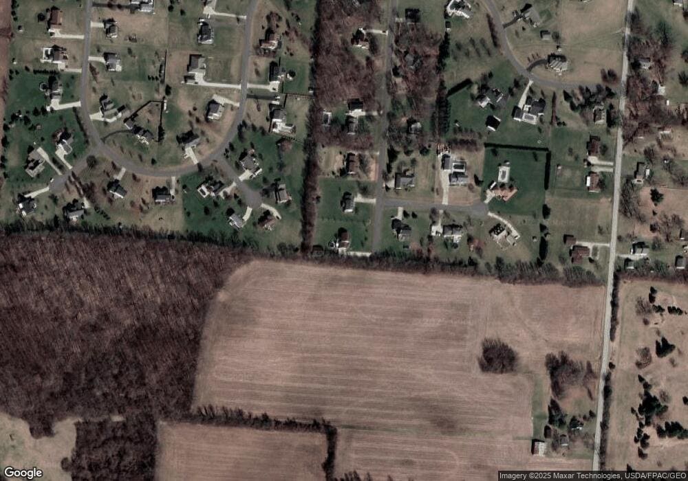
Map
Nearby Homes
- 5763 Twitchell Rd
- 4898 Graham St
- 5111 Old Mechanicsburg Rd
- 4273 Kay Ave
- 4831 Temple St
- 1888 Birchwood Ct
- 6360 Renee St
- 1902 Willow Lakes Dr Unit 71
- 4849 Ashley Dr
- 4644 Middle Urbana Rd
- 1709 Thomas Dr
- Pendleton Plan at Liberty Place
- Holcombe Plan at Liberty Place
- Newcastle Plan at Liberty Place
- Chatham Plan at Liberty Place
- 5220 Ridgewood Rd E
- 1470 Oldham Dr Unit 12
- 4740 Merrimont Ave
- 5127 Stoneridge Dr
- 5249 Taywell Dr
- 5557 Breezewood St
- 3625 Morningside Cir
- 5556 Anson Place
- 5524 Anson Place
- 5595 Breezewood St
- 3620 Morningside Cir
- 5535 Anson Place
- 3897 Morningside Cir
- 5584 Anson Place
- 5631 Breezewood St
- 3176 Windy Ridge Dr
- 3980 Morningside Cir
- 5575 Anson Place
- 5610 Breezewood St
- 3984 Morningside Cir
- 3971 Morningside Cir
- 3190 Windy Ridge Dr
- 3115 Windy Ridge Dr
- 3130 Windy Ridge Dr
- 3161 Windy Ridge Dr