55275 E 298 Rd Monkey Island, OK 74331
Estimated Value: $1,564,000
6
Beds
5
Baths
6,000
Sq Ft
$261/Sq Ft
Est. Value
About This Home
This home is located at 55275 E 298 Rd, Monkey Island, OK 74331 and is currently estimated at $1,564,000, approximately $260 per square foot. 55275 E 298 Rd is a home located in Delaware County with nearby schools including Grove Lower Elementary School, Grove Upper Elementary School, and Grove Middle School.
Ownership History
Date
Name
Owned For
Owner Type
Purchase Details
Closed on
Oct 16, 2025
Sold by
Sjb Holdings Inc
Bought by
Honey Rock Properties Llc
Current Estimated Value
Purchase Details
Closed on
Mar 7, 2024
Sold by
Sjb Holdings Inc
Bought by
Demier Daniel Wayne and Demier Christine Morton
Purchase Details
Closed on
Nov 8, 2023
Sold by
Jackson Benjamin Randall
Bought by
Sjb Holdings Inc
Purchase Details
Closed on
May 27, 2021
Sold by
England Todd W
Bought by
Jackson Benjamin Randall
Home Financials for this Owner
Home Financials are based on the most recent Mortgage that was taken out on this home.
Original Mortgage
$228,973
Interest Rate
3%
Mortgage Type
Commercial
Purchase Details
Closed on
Dec 21, 2007
Sold by
Bank Of Ok Na
Bought by
England Todd W and England Pam S
Home Financials for this Owner
Home Financials are based on the most recent Mortgage that was taken out on this home.
Original Mortgage
$233,617
Interest Rate
6.26%
Mortgage Type
Future Advance Clause Open End Mortgage
Create a Home Valuation Report for This Property
The Home Valuation Report is an in-depth analysis detailing your home's value as well as a comparison with similar homes in the area
Purchase History
| Date | Buyer | Sale Price | Title Company |
|---|---|---|---|
| Honey Rock Properties Llc | $1,500,000 | First American Title | |
| Demier Daniel Wayne | $365,000 | Apex Title | |
| Sjb Holdings Inc | $600,000 | Grand River Abstract & Title | |
| Jackson Benjamin Randall | $285,000 | Grand River Abstract & Ttl C | |
| England Todd W | $255,000 | -- |
Source: Public Records
Mortgage History
| Date | Status | Borrower | Loan Amount |
|---|---|---|---|
| Previous Owner | Jackson Benjamin Randall | $228,973 | |
| Previous Owner | England Todd W | $233,617 |
Source: Public Records
Tax History
| Year | Tax Paid | Tax Assessment Tax Assessment Total Assessment is a certain percentage of the fair market value that is determined by local assessors to be the total taxable value of land and additions on the property. | Land | Improvement |
|---|---|---|---|---|
| 2025 | $7,268 | $77,453 | $28,751 | $48,702 |
| 2024 | $7,371 | $62,648 | $62,648 | $48,702 |
| 2023 | $4,317 | $32,775 | $32,775 | $0 |
| 2022 | $3,119 | $32,775 | $32,775 | $0 |
| 2021 | $1,811 | $19,007 | $19,007 | $0 |
| 2020 | $366 | $19,007 | $19,007 | $0 |
| 2019 | $1,914 | $19,007 | $19,007 | $0 |
Source: Public Records
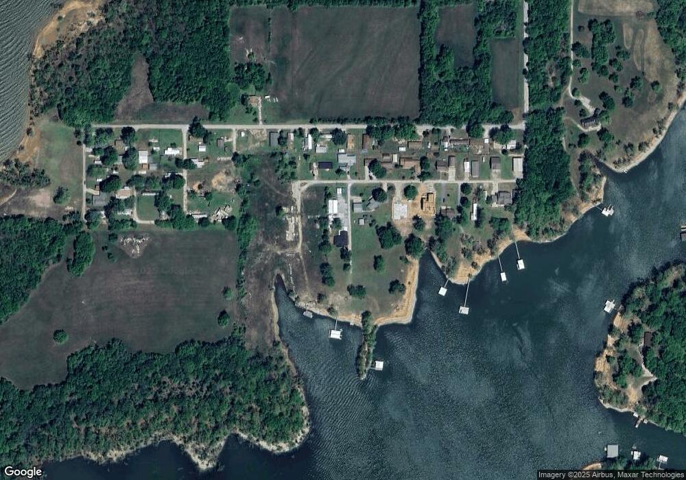
Map
Nearby Homes
- 55275 E 298 Rd Unit 1
- 55275 E 298 Rd Unit no. 5
- 30311 S 555 Rd Unit 20
- 0 Tbd S 555 Rd & E 290 Rd Unit 25-1940
- TBD S Rd
- 0 S 562 Rd Unit 25
- 1 Port Duncan Blvd
- 31 Circle Dr
- 29 Circle Dr
- 11 Missouri Dr
- 11 Port Duncan Blvd
- 0000 Missouri Dr
- 30501 S 562 Rd Unit 29
- 0 Tbd Airport Road-Lot 5 Blk 22 Rd Unit 25-736
- 3 Kansas Dr
- 30310 S 562 Rd
- 0 Kansas Dr
- 9 Oklahoma Cir
- TBD Kansas Dr
- 19 Privateer Dr
- 55275 E 298 Rd Unit 3
- 55275 E 298 Rd Unit 5
- 55275 E 298 Rd
- 55275 E 298 Rd Unit 1
- 55275 E 298 Rd Unit 22-69
- null E 298 Rd
- East E 297
- 55275 E 298 Lot#4 Rd
- 29798 S 552 Rd
- 55267 E 297 Rd
- 55285 E 297 Rd
- 55325 E 297 Rd
- 55213 E 297 Rd
- 29780 S 552 Rd
- 0 E 297 & Stubbs Rd Unit 1946170
- 29750 S 552 Rd
- 0 E 297
- 000000 E 297
- 55366 E 298 Rd
- 55250 E 297 Rd
Your Personal Tour Guide
Ask me questions while you tour the home.