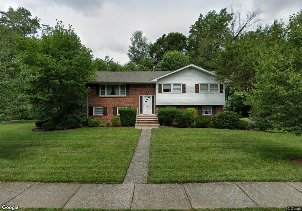
553 Hobart Rd Paramus, NJ 07652
Estimated Value: $897,000 - $956,160
--
Bed
--
Bath
1,962
Sq Ft
$465/Sq Ft
Est. Value
About This Home
This home is located at 553 Hobart Rd, Paramus, NJ 07652 and is currently estimated at $913,040, approximately $465 per square foot. 553 Hobart Rd is a home located in Bergen County with nearby schools including Paramus High School and Bergen Catholic High School.
Ownership History
Date
Name
Owned For
Owner Type
Purchase Details
Closed on
Sep 29, 2020
Sold by
Lorsch Alan Howard and Lorsch Sidney Mark
Bought by
Nouel Jake A and Nouel Ana P
Current Estimated Value
Home Financials for this Owner
Home Financials are based on the most recent Mortgage that was taken out on this home.
Original Mortgage
$560,000
Outstanding Balance
$497,182
Interest Rate
2.8%
Mortgage Type
VA
Estimated Equity
$415,858
Create a Home Valuation Report for This Property
The Home Valuation Report is an in-depth analysis detailing your home's value as well as a comparison with similar homes in the area
Home Values in the Area
Average Home Value in this Area
Purchase History
| Date | Buyer | Sale Price | Title Company |
|---|---|---|---|
| Nouel Jake A | $560,000 | First American Title Ins Co |
Source: Public Records
Mortgage History
| Date | Status | Borrower | Loan Amount |
|---|---|---|---|
| Open | Nouel Jake A | $560,000 |
Source: Public Records
Tax History Compared to Growth
Tax History
| Year | Tax Paid | Tax Assessment Tax Assessment Total Assessment is a certain percentage of the fair market value that is determined by local assessors to be the total taxable value of land and additions on the property. | Land | Improvement |
|---|---|---|---|---|
| 2025 | $10,251 | $724,500 | $465,100 | $259,400 |
| 2024 | $9,948 | $677,100 | $429,100 | $248,000 |
| 2023 | $9,439 | $648,500 | $408,500 | $240,000 |
| 2022 | $9,439 | $608,200 | $381,400 | $226,800 |
| 2021 | $9,095 | $549,900 | $340,400 | $209,500 |
| 2020 | $8,658 | $542,800 | $335,400 | $207,400 |
| 2019 | $8,586 | $462,600 | $307,700 | $154,900 |
| 2018 | $8,479 | $462,600 | $307,700 | $154,900 |
| 2017 | $8,331 | $462,600 | $307,700 | $154,900 |
| 2016 | $8,105 | $462,600 | $307,700 | $154,900 |
| 2015 | $7,771 | $462,600 | $307,700 | $154,900 |
| 2014 | $7,702 | $462,600 | $307,700 | $154,900 |
Source: Public Records
Map
Nearby Homes
- 517 Fordham Place
- 552 Burlington St
- 277 Columbia Terrace
- 812 Ridgewood Ave
- 517 Marion Ln
- 890 Oradell Ave
- 787 Schaefer Ave
- 817 Riverdell Rd
- 366 Mckinley Blvd
- 216 E Midland Ave
- 492 Oaktree Rd
- 415 Bailey Rd
- 327 E Midland Ave
- 624 West Dr
- 391 Harrison St
- 319 Franklin Place
- 623 Alberta Dr
- 390 Spring Valley Rd
- 314 Ross Rd
- 374 E Midland Ave
- 446 E Ridgewood Ave
- 549 Hobart Rd
- 544 Edmund Terrace
- 552 Hobart Rd
- 438 E Ridgewood Ave
- 548 Hobart Rd
- 450 E Ridgewood Ave
- 546 Edmund Terrace
- 544 Hobart Rd
- 540 Edmund Terrace
- 543 Hobart Rd
- 454 E Ridgewood Ave
- 548 Edmund Terrace
- 434 E Ridgewood Ave
- 540 Hobart Rd
- 551 Clark Rd
- 541 Edmund Terrace
- 458 E Ridgewood Ave
- 432 E Ridgewood Ave
- 550 Edmund Terrace