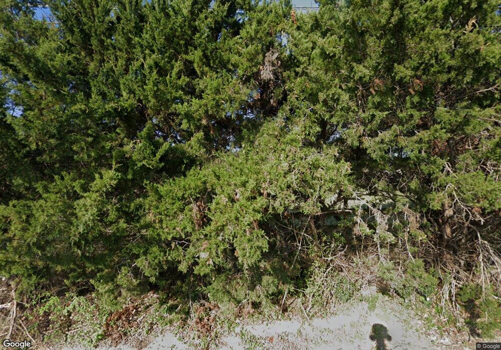
553 Kinney Dr Murphy, TX 75094
Estimated Value: $610,000 - $712,000
4
Beds
3
Baths
2,698
Sq Ft
$247/Sq Ft
Est. Value
About This Home
This home is located at 553 Kinney Dr, Murphy, TX 75094 and is currently estimated at $667,557, approximately $247 per square foot. 553 Kinney Dr is a home located in Collin County with nearby schools including Miller Elementary School, Murphy Middle School, and C A Mcmillen High School.
Ownership History
Date
Name
Owned For
Owner Type
Purchase Details
Closed on
Jul 20, 2017
Sold by
Record Elizabeth M
Bought by
Record Harold Gene
Current Estimated Value
Purchase Details
Closed on
Oct 24, 2005
Sold by
Record Harold L and Record Betty
Bought by
Record Harold Gene and Record Elizabeth M
Home Financials for this Owner
Home Financials are based on the most recent Mortgage that was taken out on this home.
Original Mortgage
$94,446
Outstanding Balance
$50,520
Interest Rate
5.75%
Mortgage Type
Purchase Money Mortgage
Estimated Equity
$617,037
Create a Home Valuation Report for This Property
The Home Valuation Report is an in-depth analysis detailing your home's value as well as a comparison with similar homes in the area
Home Values in the Area
Average Home Value in this Area
Purchase History
| Date | Buyer | Sale Price | Title Company |
|---|---|---|---|
| Record Harold Gene | -- | None Available | |
| Record Harold Gene | -- | -- |
Source: Public Records
Mortgage History
| Date | Status | Borrower | Loan Amount |
|---|---|---|---|
| Open | Record Harold Gene | $94,446 |
Source: Public Records
Tax History Compared to Growth
Tax History
| Year | Tax Paid | Tax Assessment Tax Assessment Total Assessment is a certain percentage of the fair market value that is determined by local assessors to be the total taxable value of land and additions on the property. | Land | Improvement |
|---|---|---|---|---|
| 2025 | $8,142 | $629,253 | $338,400 | $442,581 |
| 2024 | $8,142 | $572,048 | $338,400 | $386,894 |
| 2023 | $8,142 | $520,044 | $155,100 | $367,770 |
| 2022 | $9,259 | $472,767 | $155,100 | $317,667 |
| 2021 | $10,304 | $498,980 | $155,100 | $343,880 |
| 2020 | $9,607 | $460,000 | $155,100 | $304,900 |
| 2019 | $10,079 | $460,000 | $155,100 | $304,900 |
| 2018 | $9,706 | $438,974 | $155,100 | $301,609 |
| 2017 | $8,824 | $417,625 | $155,100 | $262,525 |
| 2016 | $8,121 | $362,788 | $155,100 | $207,688 |
| 2015 | $7,762 | $345,921 | $155,100 | $190,821 |
Source: Public Records
Map
Nearby Homes
- 465 Kinney Dr
- 524 Jasmine Dr
- 602 Horizon Dr
- 248 Mimosa Dr
- 237 Mimosa Dr
- 402 S Maxwell Creek Rd
- LOT#2 S Maxwell Creek Rd
- Lot#1 S Maxwell Creek Rd
- 202 Sweetgum Dr
- 113 Birch Blvd
- 813 Burgess Ln
- Pampa Farmhouse Plan at Crescent Hill
- 110 Birch Blvd
- 600 E Fm 544
- 179 Moonlight Dr
- 2603 Grant Dr
- 3309 Grantham Dr
- 403 Pleasant Run
- 3203 Grantham Dr
- 2911 Tracy Lynn Ln
