553 Ocean Point Rd East Boothbay, ME 04544
Estimated Value: $1,592,000 - $2,003,045
3
Beds
1
Bath
1,270
Sq Ft
$1,415/Sq Ft
Est. Value
About This Home
This home is located at 553 Ocean Point Rd, East Boothbay, ME 04544 and is currently estimated at $1,797,523, approximately $1,415 per square foot. 553 Ocean Point Rd is a home located in Lincoln County with nearby schools including Boothbay Region Elementary School and Boothbay Region High School.
Ownership History
Date
Name
Owned For
Owner Type
Purchase Details
Closed on
Dec 28, 2012
Sold by
Kennedy Michael P and Kennedy Delia J
Bought by
Linekin Partners Llc
Current Estimated Value
Purchase Details
Closed on
Nov 19, 2009
Sold by
Karger Gertrude A Est
Bought by
Kennedy Michael J and Kennedy Kathleen K
Create a Home Valuation Report for This Property
The Home Valuation Report is an in-depth analysis detailing your home's value as well as a comparison with similar homes in the area
Home Values in the Area
Average Home Value in this Area
Purchase History
| Date | Buyer | Sale Price | Title Company |
|---|---|---|---|
| Linekin Partners Llc | -- | -- | |
| Kennedy Michael J | -- | -- |
Source: Public Records
Tax History Compared to Growth
Tax History
| Year | Tax Paid | Tax Assessment Tax Assessment Total Assessment is a certain percentage of the fair market value that is determined by local assessors to be the total taxable value of land and additions on the property. | Land | Improvement |
|---|---|---|---|---|
| 2024 | $15,052 | $1,326,176 | $681,000 | $645,176 |
| 2023 | $13,328 | $1,326,176 | $681,000 | $645,176 |
| 2022 | $12,333 | $1,326,176 | $681,000 | $645,176 |
| 2021 | $12,665 | $1,326,176 | $681,000 | $645,176 |
| 2020 | $12,731 | $1,326,176 | $681,000 | $645,176 |
| 2019 | $12,532 | $1,326,176 | $681,000 | $645,176 |
| 2018 | $12,333 | $1,326,176 | $681,000 | $645,176 |
| 2017 | $11,760 | $1,278,300 | $630,800 | $647,500 |
| 2016 | $11,249 | $1,278,300 | $630,800 | $647,500 |
| 2015 | $11,185 | $1,278,300 | $630,800 | $647,500 |
| 2014 | $10,866 | $1,278,300 | $630,800 | $647,500 |
Source: Public Records
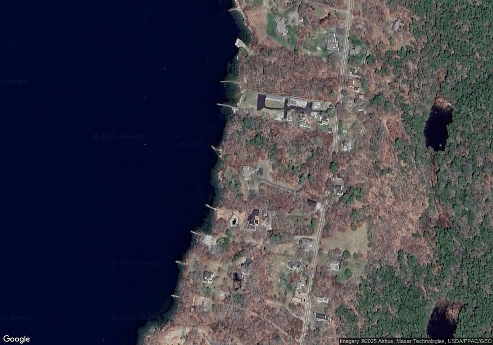
Map
Nearby Homes
- 44 King Phillips Trail
- 12 Westwind Dr
- 127 Appalachee Rd
- 61 Van Horn Rd
- 5 Massachusetts Ave
- 74 & 76 Bay St
- 239 Ocean Point Rd
- 31 Bay St
- 210 Ocean Point Rd
- 23 Meadow Cove Rd
- 35 Rice Rd
- 58 Roads End Rd
- 37 Townsend Ave
- 27 Townsend Ave
- 34 Townsend Ave
- 66 Townsend Ave
- 66 Townsend Avenue & 43 Oak St
- 43 Oak St
- 53 Commercial St
- 98 Meadow Cove Rd
- 553 Ocean Point Rd
- 569 Ocean Point Rd
- 8 Wave Crest Dr Unit C-3
- 12 Wave Crest Dr Unit C-2
- 22 Linekin Landing Rd
- 15 - A Wave Crest Dr Unit 1
- 7 Wave Crest Dr Unit B
- 7 Wave Crest Dr Unit A
- 545 Ocean Point Rd Unit SP
- 545 Ocean Point Rd Unit SB
- 545 Ocean Point Rd Unit R
- 545 Ocean Point Rd Unit 3
- 545 Ocean Point Rd Unit 2
- 545 Ocean Point Rd Unit 1
- 545 Ocean Point Rd Unit F
- 545 Ocean Point Rd Unit CG
- 545 Ocean Point Rd Unit AQ
- 545 Ocean Point Rd Unit 203
- 545 Ocean Point Rd Unit 202
- 545 Ocean Point Rd Unit 201