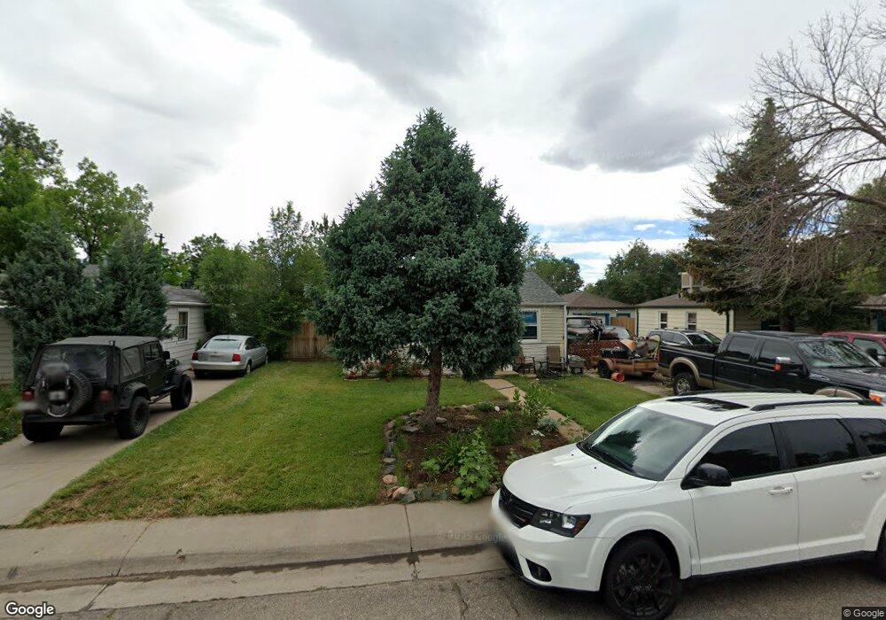
5530 Otis Ct Arvada, CO 80002
Estimated Value: $390,000 - $408,000
2
Beds
1
Bath
720
Sq Ft
$554/Sq Ft
Est. Value
About This Home
This home is located at 5530 Otis Ct, Arvada, CO 80002 and is currently estimated at $398,858, approximately $553 per square foot. 5530 Otis Ct is a home located in Jefferson County with nearby schools including Secrest Elementary School, North Arvada Middle School, and Arvada High School.
Ownership History
Date
Name
Owned For
Owner Type
Purchase Details
Closed on
Apr 30, 2018
Sold by
Rbm Suburbs Llc
Bought by
Williams Rachelle A and Williams Dora C
Current Estimated Value
Home Financials for this Owner
Home Financials are based on the most recent Mortgage that was taken out on this home.
Original Mortgage
$238,107
Outstanding Balance
$209,936
Interest Rate
5.5%
Mortgage Type
FHA
Estimated Equity
$188,922
Purchase Details
Closed on
Aug 6, 2014
Sold by
Rbm Denver Llc
Bought by
Maupin Roger and Maupin Rebecca
Home Financials for this Owner
Home Financials are based on the most recent Mortgage that was taken out on this home.
Original Mortgage
$127,200
Interest Rate
4.19%
Mortgage Type
New Conventional
Purchase Details
Closed on
Aug 9, 2005
Sold by
Maupin Roger B and Maupin Rebecca B
Bought by
Rbm Suburbs Llc
Purchase Details
Closed on
Jan 27, 2003
Sold by
Maupin Roger B
Bought by
Maupin Roger B and Maupin Rebecca B
Create a Home Valuation Report for This Property
The Home Valuation Report is an in-depth analysis detailing your home's value as well as a comparison with similar homes in the area
Purchase History
| Date | Buyer | Sale Price | Title Company |
|---|---|---|---|
| Williams Rachelle A | $242,500 | First American Title | |
| Maupin Roger | -- | None Available | |
| Rbm Suburbs Llc | -- | -- | |
| Maupin Roger B | -- | -- |
Source: Public Records
Mortgage History
| Date | Status | Borrower | Loan Amount |
|---|---|---|---|
| Open | Williams Rachelle A | $238,107 | |
| Previous Owner | Maupin Roger | $127,200 |
Source: Public Records
Tax History
| Year | Tax Paid | Tax Assessment Tax Assessment Total Assessment is a certain percentage of the fair market value that is determined by local assessors to be the total taxable value of land and additions on the property. | Land | Improvement |
|---|---|---|---|---|
| 2024 | $2,221 | $22,896 | $12,032 | $10,864 |
| 2023 | $2,221 | $22,896 | $12,032 | $10,864 |
| 2022 | $2,006 | $20,484 | $9,450 | $11,034 |
| 2021 | $2,039 | $21,074 | $9,722 | $11,352 |
| 2020 | $1,770 | $18,347 | $8,052 | $10,295 |
| 2019 | $1,747 | $18,347 | $8,052 | $10,295 |
| 2018 | $1,448 | $14,793 | $5,852 | $8,941 |
| 2017 | $1,326 | $14,793 | $5,852 | $8,941 |
| 2016 | $1,185 | $12,456 | $5,117 | $7,339 |
| 2015 | $978 | $12,456 | $5,117 | $7,339 |
| 2014 | $978 | $9,661 | $4,384 | $5,277 |
Source: Public Records
Map
Nearby Homes
- 6865 W 55th Place
- 6910 Reno Dr
- 6940 W 55th Place
- 5465 Reed Ct
- 6427 Grandview Ave Unit A & B
- 5423 Saulsbury Ct
- 5716 Saulsbury St
- 6902 Ralston Rd
- 7357 Grandview Ave Unit 202
- 6480 W 60th Ave
- 6840 W 60th Ave
- 7303 W 59th Ave
- 7313 W 60th Ave
- 7607 Ralston Rd
- 7856 W 54th Ave Unit 7856
- 6990 W 61st Ave
- 7931 W 55th Ave Unit 112
- 5409 Zephyr Ct Unit 5409
- 5320 Allison St Unit 106
- 5366 Allison St Unit D
Your Personal Tour Guide
Ask me questions while you tour the home.