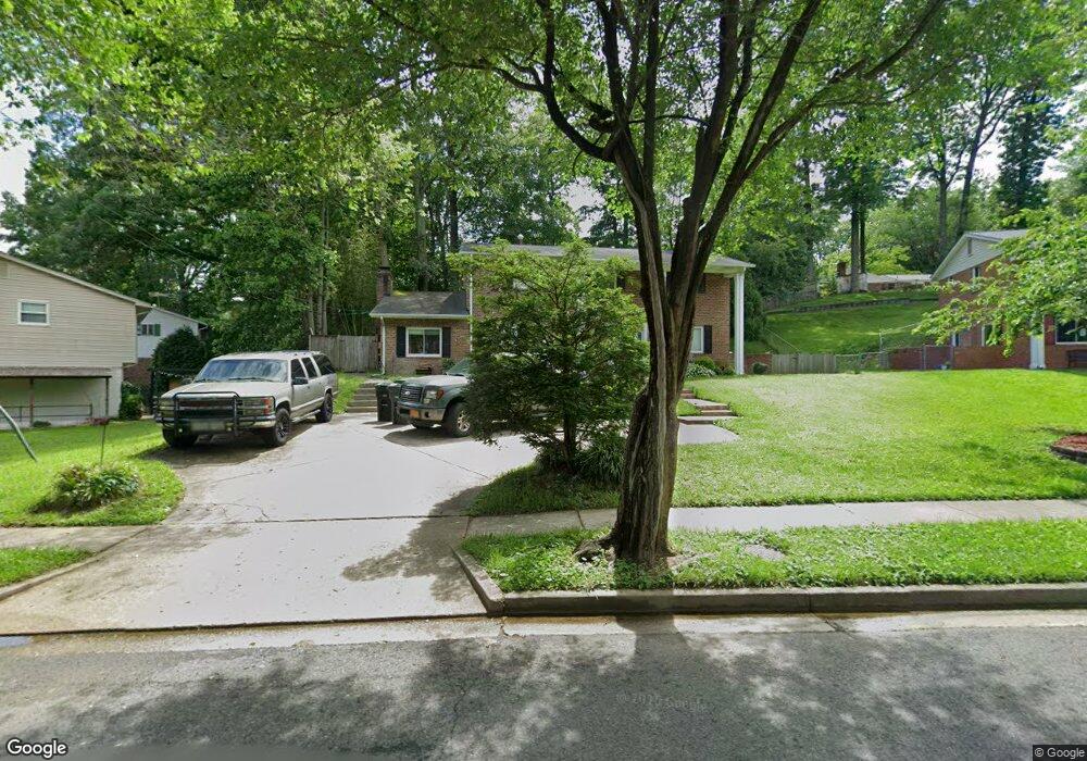
5530 Yorkshire St Springfield, VA 22151
Estimated Value: $757,000 - $835,000
4
Beds
3
Baths
2,250
Sq Ft
$351/Sq Ft
Est. Value
About This Home
This home is located at 5530 Yorkshire St, Springfield, VA 22151 and is currently estimated at $790,773, approximately $351 per square foot. 5530 Yorkshire St is a home located in Fairfax County with nearby schools including Kings Park Elementary School, Kings Glen Elementary School, and Lake Braddock Secondary School.
Ownership History
Date
Name
Owned For
Owner Type
Purchase Details
Closed on
Apr 30, 1997
Sold by
Yermakov Michael and Yermakov Cheryl A
Bought by
Simpson Michael W and Simpson Deborah R
Current Estimated Value
Home Financials for this Owner
Home Financials are based on the most recent Mortgage that was taken out on this home.
Original Mortgage
$192,750
Outstanding Balance
$26,058
Interest Rate
7.85%
Mortgage Type
VA
Estimated Equity
$764,715
Create a Home Valuation Report for This Property
The Home Valuation Report is an in-depth analysis detailing your home's value as well as a comparison with similar homes in the area
Home Values in the Area
Average Home Value in this Area
Purchase History
| Date | Buyer | Sale Price | Title Company |
|---|---|---|---|
| Simpson Michael W | $189,000 | -- |
Source: Public Records
Mortgage History
| Date | Status | Borrower | Loan Amount |
|---|---|---|---|
| Open | Simpson Michael W | $192,750 |
Source: Public Records
Tax History
| Year | Tax Paid | Tax Assessment Tax Assessment Total Assessment is a certain percentage of the fair market value that is determined by local assessors to be the total taxable value of land and additions on the property. | Land | Improvement |
|---|---|---|---|---|
| 2025 | -- | $721,310 | $311,000 | $410,310 |
| 2024 | $7,599 | $655,920 | $276,000 | $379,920 |
| 2023 | $6,972 | $636,730 | $276,000 | $360,730 |
| 2022 | $7,174 | $627,400 | $271,000 | $356,400 |
| 2021 | $0 | $543,970 | $241,000 | $302,970 |
| 2020 | $6,940 | $521,820 | $236,000 | $285,820 |
| 2019 | $6,688 | $502,830 | $228,000 | $274,830 |
| 2018 | $6,435 | $483,830 | $209,000 | $274,830 |
| 2017 | $0 | $459,260 | $195,000 | $264,260 |
| 2016 | -- | $459,260 | $195,000 | $264,260 |
Source: Public Records
Map
Nearby Homes
- 5519 Yorkshire St
- 5613 Eastbourne Dr
- 5812 Royal Ridge Dr Unit C
- 5401 Southampton Dr
- 5004 Prince Caspian Ln
- 5624 Kirkham Ct
- 9010 Lake Braddock Dr
- 5802 Torington Dr Unit 825
- 8942 Kenilworth Dr
- 8802 Parliament Dr
- 5772 Rexford Ct
- 5824 Rexford Dr Unit 731
- 5835 Fitzhugh St
- 5845 Rexford Dr Unit 721
- 8523 Lakinhurst Ln
- 5898G Surrey Hill Place Unit 684
- 8806 Cromwell Dr
- 8318 Uxbridge Ct
- 9101 Blue Jug Landing
- 8360B Dunham Ct Unit 630
- 5528 Yorkshire St
- 5600 Southampton Dr
- 5604 Southampton Dr
- 5533 Callander Dr
- 5535 Callander Dr
- 5532 Southampton Dr
- 5531 Callander Dr
- 5529 Yorkshire St
- 5606 Southampton Dr
- 5529 Callander Dr
- 5524 Yorkshire St
- 5530 Southampton Dr
- 5527 Yorkshire St
- 5601 Southampton Dr
- 5603 Southampton Dr
- 5527 Callander Dr
- 5601 Yorkshire St
- 5605 Southampton Dr
- 5522 Yorkshire St
- 5534 Callander Dr
Your Personal Tour Guide
Ask me questions while you tour the home.