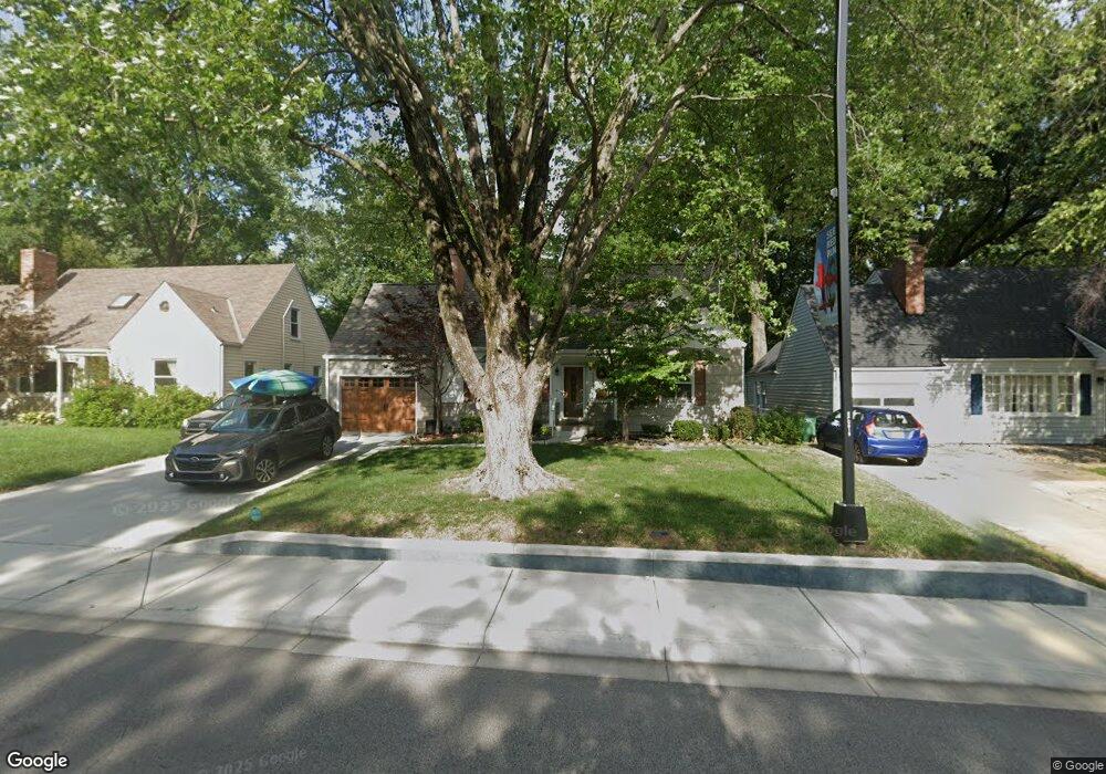
5531 Roe Blvd Roeland Park, KS 66205
Estimated Value: $368,000 - $418,000
4
Beds
2
Baths
1,861
Sq Ft
$214/Sq Ft
Est. Value
About This Home
This home is located at 5531 Roe Blvd, Roeland Park, KS 66205 and is currently estimated at $398,860, approximately $214 per square foot. 5531 Roe Blvd is a home located in Johnson County with nearby schools including Roesland Elementary School, Hocker Grove Middle School, and Shawnee Mission North High School.
Ownership History
Date
Name
Owned For
Owner Type
Purchase Details
Closed on
Aug 26, 2009
Sold by
Anderson John Q and Anderson Joan K
Bought by
Anderson John Q and Anderson Joan K
Current Estimated Value
Purchase Details
Closed on
Mar 17, 2006
Sold by
Anderson John Q and Anderson Joan K
Bought by
Anderson John Q and Anderson Joan K
Home Financials for this Owner
Home Financials are based on the most recent Mortgage that was taken out on this home.
Original Mortgage
$100,900
Interest Rate
5.82%
Mortgage Type
New Conventional
Create a Home Valuation Report for This Property
The Home Valuation Report is an in-depth analysis detailing your home's value as well as a comparison with similar homes in the area
Home Values in the Area
Average Home Value in this Area
Purchase History
| Date | Buyer | Sale Price | Title Company |
|---|---|---|---|
| Anderson John Q | -- | None Available | |
| Anderson John Q | -- | Platinum Title Llc |
Source: Public Records
Mortgage History
| Date | Status | Borrower | Loan Amount |
|---|---|---|---|
| Closed | Anderson John Q | $100,900 |
Source: Public Records
Tax History Compared to Growth
Tax History
| Year | Tax Paid | Tax Assessment Tax Assessment Total Assessment is a certain percentage of the fair market value that is determined by local assessors to be the total taxable value of land and additions on the property. | Land | Improvement |
|---|---|---|---|---|
| 2024 | $3,790 | $30,360 | $7,884 | $22,476 |
| 2023 | $3,836 | $30,176 | $7,174 | $23,002 |
| 2022 | $3,698 | $29,245 | $6,515 | $22,730 |
| 2021 | $3,314 | $24,840 | $5,422 | $19,418 |
| 2020 | $3,229 | $23,931 | $4,710 | $19,221 |
| 2019 | $3,037 | $22,357 | $3,025 | $19,332 |
| 2018 | $2,846 | $20,816 | $3,025 | $17,791 |
| 2017 | $2,500 | $17,538 | $3,025 | $14,513 |
| 2016 | $2,253 | $15,399 | $3,025 | $12,374 |
| 2015 | $2,069 | $14,180 | $3,025 | $11,155 |
| 2013 | -- | $13,686 | $3,025 | $10,661 |
Source: Public Records
Map
Nearby Homes
- 5600 Roe Blvd
- 4304 Brookridge Dr
- 5224 Roe Blvd
- 4415 W 52nd Terrace
- 5817 Fontana Dr
- 5239 Catalina St
- 5914 Granada St
- 4214 W 59th St
- 4976 W 60th Terrace
- 5312 W 58th St
- 5400 W 58th St
- 5332 Neosho Ln
- 5429 Maple St
- 6000 El Monte St
- 5434 Maple St
- 6015 Fontana St
- 5335 Maple St
- 5419 Mohawk Ln
- 3812 W 52nd Place
- 5057 Buena Vista St