5531 SE 133rd Ave Portland, OR 97236
Powellhurst-Gilbert NeighborhoodEstimated Value: $405,000 - $484,000
3
Beds
3
Baths
1,560
Sq Ft
$286/Sq Ft
Est. Value
About This Home
This home is located at 5531 SE 133rd Ave, Portland, OR 97236 and is currently estimated at $446,321, approximately $286 per square foot. 5531 SE 133rd Ave is a home located in Multnomah County with nearby schools including Gilbert Park Elementary School, Alice Ott Middle School, and David Douglas High School.
Ownership History
Date
Name
Owned For
Owner Type
Purchase Details
Closed on
Apr 29, 2003
Sold by
Nguyen Duc P
Bought by
Nguyen Duc P and Bui Thanhmy Thi
Current Estimated Value
Home Financials for this Owner
Home Financials are based on the most recent Mortgage that was taken out on this home.
Original Mortgage
$131,000
Interest Rate
5.72%
Mortgage Type
Purchase Money Mortgage
Purchase Details
Closed on
Jun 25, 2001
Sold by
Palace Construction Corp
Bought by
Nguyen Duc P
Home Financials for this Owner
Home Financials are based on the most recent Mortgage that was taken out on this home.
Original Mortgage
$128,800
Interest Rate
7.14%
Mortgage Type
Purchase Money Mortgage
Create a Home Valuation Report for This Property
The Home Valuation Report is an in-depth analysis detailing your home's value as well as a comparison with similar homes in the area
Home Values in the Area
Average Home Value in this Area
Purchase History
| Date | Buyer | Sale Price | Title Company |
|---|---|---|---|
| Nguyen Duc P | -- | Fidelity Natl Title Co Of Or | |
| Nguyen Duc P | $161,000 | Fidelity National Title Co |
Source: Public Records
Mortgage History
| Date | Status | Borrower | Loan Amount |
|---|---|---|---|
| Previous Owner | Nguyen Duc P | $131,000 | |
| Previous Owner | Nguyen Duc P | $128,800 | |
| Closed | Nguyen Duc P | $24,100 |
Source: Public Records
Tax History Compared to Growth
Tax History
| Year | Tax Paid | Tax Assessment Tax Assessment Total Assessment is a certain percentage of the fair market value that is determined by local assessors to be the total taxable value of land and additions on the property. | Land | Improvement |
|---|---|---|---|---|
| 2024 | $3,971 | $166,460 | -- | -- |
| 2023 | $3,799 | $161,620 | $0 | $0 |
| 2022 | $3,601 | $156,920 | $0 | $0 |
| 2021 | $3,542 | $152,350 | $0 | $0 |
| 2020 | $3,209 | $147,920 | $0 | $0 |
| 2019 | $3,106 | $143,620 | $0 | $0 |
| 2018 | $3,011 | $139,440 | $0 | $0 |
| 2017 | $2,900 | $135,380 | $0 | $0 |
| 2016 | $2,823 | $131,440 | $0 | $0 |
| 2015 | $2,756 | $127,620 | $0 | $0 |
| 2014 | $2,651 | $123,910 | $0 | $0 |
Source: Public Records
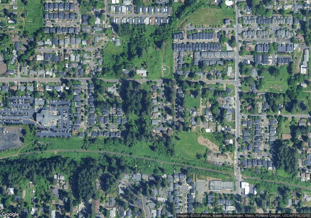
Map
Nearby Homes
- 13332 SE Harold St Unit 1
- 13519 SE Harold St
- 13546 SE Steele St
- 5394 SE 136th Ave
- 5200 SE 132nd Ave
- 5200 SE 132nd Ave Unit 12
- 13460 SE Raymond St
- 4808 SE 134th Dr
- 13810 SE Knight St
- 12904 SE Ramona St
- 0 SE 137th Ave Unit 385270617
- 13249 SE Schiller St
- 4802 SE 133rd Dr
- 6050 SE 136th Ave
- 0 SE 128th Ave
- 13115 SE Foster Rd Unit 22
- 13425 SE Foster Rd Unit 40
- 5569 SE 142nd Place
- 5567 SE 142nd Place
- 13852 SE Henry St
- 5549 SE 133rd Ave
- 5523 SE 133rd Ave
- 5557 SE 133rd Ave
- 5534 SE 133rd Ave
- 5517 SE 133rd Ave
- 5526 SE 133rd Ave
- 5546 SE 133rd Ave
- 13234 SE Harold St
- 13230 SE Harold St Unit 13234
- 5520 SE 133rd Ave
- 5558 SE 133rd Ave
- 5511 SE 133rd Ave
- 13400 SE Harold St Unit 5
- 13350 SE Harold St Unit 4
- 13404 SE Harold St Unit 6
- 13346 SE Harold St Unit 3
- 13342 SE Harold St Unit 2
- 5508 SE 133rd Ave
- 13418 SE Harold St Unit 10
- 13412 SE Harold St Unit 8