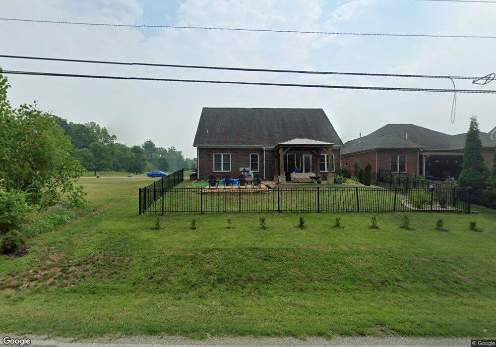
5533 Whitegate Ct Newburgh, IN 47630
Estimated Value: $328,000 - $359,000
3
Beds
3
Baths
2,160
Sq Ft
$158/Sq Ft
Est. Value
About This Home
This home is located at 5533 Whitegate Ct, Newburgh, IN 47630 and is currently estimated at $340,380, approximately $157 per square foot. 5533 Whitegate Ct is a home with nearby schools including Yankeetown Elementary School, Castle North Middle School, and Castle High School.
Ownership History
Date
Name
Owned For
Owner Type
Purchase Details
Closed on
Apr 16, 2019
Sold by
Sumner David M and Sumner Carolyn S
Bought by
Boyer Kevin A and Boyer Cindy F
Current Estimated Value
Home Financials for this Owner
Home Financials are based on the most recent Mortgage that was taken out on this home.
Original Mortgage
$229,900
Outstanding Balance
$202,530
Interest Rate
4.4%
Mortgage Type
New Conventional
Estimated Equity
$137,850
Purchase Details
Closed on
Jan 6, 2014
Sold by
Barrington Development Group Inc
Bought by
Sumner David M and Sumner Carolyn S
Create a Home Valuation Report for This Property
The Home Valuation Report is an in-depth analysis detailing your home's value as well as a comparison with similar homes in the area
Home Values in the Area
Average Home Value in this Area
Purchase History
| Date | Buyer | Sale Price | Title Company |
|---|---|---|---|
| Boyer Kevin A | -- | None Available | |
| Sumner David M | -- | None Available |
Source: Public Records
Mortgage History
| Date | Status | Borrower | Loan Amount |
|---|---|---|---|
| Open | Boyer Kevin A | $229,900 |
Source: Public Records
Tax History Compared to Growth
Tax History
| Year | Tax Paid | Tax Assessment Tax Assessment Total Assessment is a certain percentage of the fair market value that is determined by local assessors to be the total taxable value of land and additions on the property. | Land | Improvement |
|---|---|---|---|---|
| 2024 | $2,215 | $286,700 | $16,000 | $270,700 |
| 2023 | $2,085 | $281,600 | $16,000 | $265,600 |
| 2022 | $1,962 | $256,500 | $14,200 | $242,300 |
| 2021 | $1,825 | $228,000 | $25,100 | $202,900 |
| 2020 | $1,757 | $211,100 | $23,000 | $188,100 |
| 2019 | $1,742 | $204,800 | $23,000 | $181,800 |
| 2018 | $1,655 | $199,800 | $23,200 | $176,600 |
| 2017 | $1,650 | $200,300 | $17,900 | $182,400 |
| 2016 | $1,641 | $200,300 | $17,900 | $182,400 |
| 2014 | $1,549 | $201,400 | $18,300 | $183,100 |
| 2013 | $18 | $1,200 | $1,200 | $0 |
Source: Public Records
Map
Nearby Homes
- 6182 Glenview Dr
- ROBIN Plan at Lexington Subdivision
- Sophia Plan at Lexington Subdivision
- Ava Plan at Lexington Subdivision
- 6195 Ashford Cir
- 6021 Glencrest Ct
- 5533 Lakeside Dr
- 2874 Lakeside Dr
- 5444 Schneider Rd
- 5422 Schneider Rd
- 6202 Pembrooke Dr
- 6600 River Ridge Dr
- 6444 Pebble Point Ct
- State Rd 66 Hwy
- 6788 Holly Dr
- 6800 Oakmont Ct
- Off S 66
- 6500 Yorktown Ct
- 6600 Red Horse Pike
- 6611 Concord Dr
- 5549 Whitegate Ct
- 5532 Whitegate Ct
- 5548 Whitegate Ct
- 5567 Whitegate Ct
- 5501 Whitegate Ct
- 5566 Whitegate Ct
- 6066 Ashford Dr
- 5500 Ferstel Rd
- 6088 Ashford Dr
- 6100 Ashford Dr
- 5588 Lenox Dr
- 5588 Essex Dr
- 6112 Ashford Dr
- 307 Edgewood Dr
- 4633 Alaina Dr
- 4833 Richmond Dr
- 5099 Anderson Rd
- 6122 Ashford Dr Unit 69
- 6122 Ashford Dr
- 5599 Essex Dr