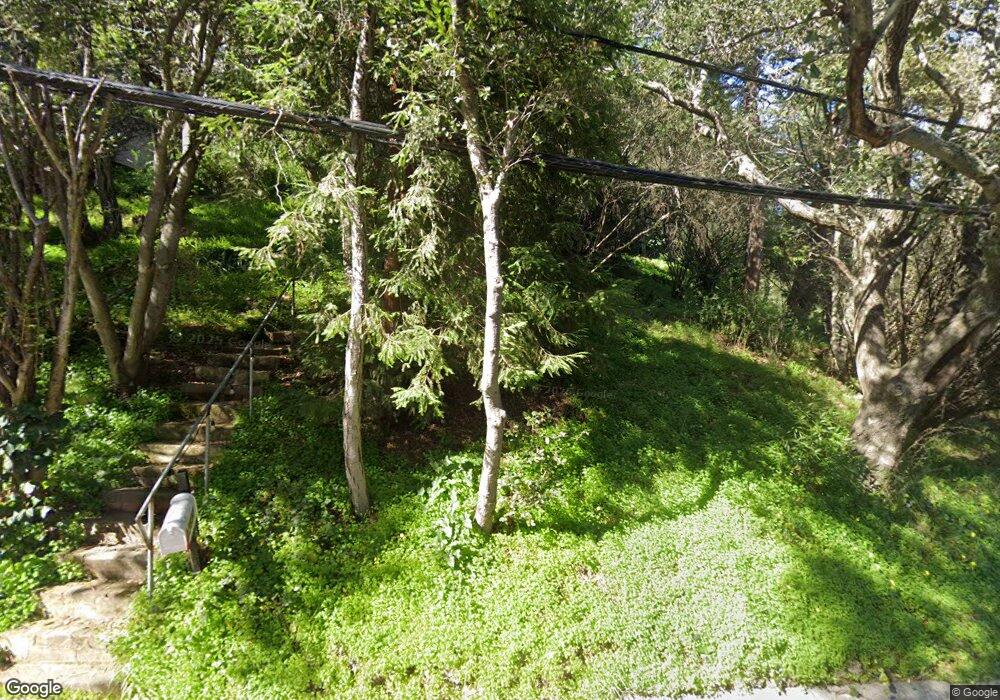
5534 Merriewood Dr Oakland, CA 94611
Merriewood NeighborhoodEstimated Value: $682,000 - $1,326,000
2
Beds
1
Bath
894
Sq Ft
$1,088/Sq Ft
Est. Value
About This Home
This home is located at 5534 Merriewood Dr, Oakland, CA 94611 and is currently estimated at $972,832, approximately $1,088 per square foot. 5534 Merriewood Dr is a home located in Alameda County with nearby schools including Thornhill Elementary School, Montera Middle School, and Skyline High School.
Ownership History
Date
Name
Owned For
Owner Type
Purchase Details
Closed on
May 25, 2020
Sold by
Wodecki Andrew E and Wodecki Beth A
Bought by
Wodecki Andrew and Wodecki Beth A
Current Estimated Value
Purchase Details
Closed on
Apr 30, 2020
Sold by
Wodecki Edward J and Wodecki Irena M
Bought by
Wodecki Andrew E and Wodecki Beth A
Create a Home Valuation Report for This Property
The Home Valuation Report is an in-depth analysis detailing your home's value as well as a comparison with similar homes in the area
Home Values in the Area
Average Home Value in this Area
Purchase History
| Date | Buyer | Sale Price | Title Company |
|---|---|---|---|
| Wodecki Andrew | -- | None Available | |
| Wodecki Andrew E | -- | None Available | |
| Wodecki Andrew E | -- | None Available |
Source: Public Records
Tax History Compared to Growth
Tax History
| Year | Tax Paid | Tax Assessment Tax Assessment Total Assessment is a certain percentage of the fair market value that is determined by local assessors to be the total taxable value of land and additions on the property. | Land | Improvement |
|---|---|---|---|---|
| 2025 | $6,805 | $369,783 | $110,935 | $258,848 |
| 2024 | $6,805 | $362,533 | $108,760 | $253,773 |
| 2023 | $7,033 | $355,425 | $106,627 | $248,798 |
| 2022 | $6,797 | $348,457 | $104,537 | $243,920 |
| 2021 | $6,428 | $341,624 | $102,487 | $239,137 |
| 2020 | $6,349 | $338,123 | $101,437 | $236,686 |
| 2019 | $6,066 | $331,494 | $99,448 | $232,046 |
| 2018 | $5,929 | $324,996 | $97,499 | $227,497 |
| 2017 | $5,684 | $318,624 | $95,587 | $223,037 |
| 2016 | $5,451 | $312,377 | $93,713 | $218,664 |
| 2015 | $5,410 | $307,686 | $92,306 | $215,380 |
| 2014 | $5,191 | $301,660 | $90,498 | $211,162 |
Source: Public Records
Map
Nearby Homes
- 6687 Thornhill Dr
- 6115 Doncaster Place
- 0 Gouldin Rd Unit 41077349
- 5716 Merriewood Dr
- 6406 Valley View Rd
- 5673 Florence Terrace
- 224 Beauforest Dr
- 5663 Florence Terrace
- 6257 Virgo Rd
- 9047 Broadway Terrace
- 5909 Colton Blvd
- 1832 Woodhaven Way
- 6520 Heather Ridge Way
- 164 Duncan Way
- 0 Thorndale Dr Unit 41115333
- 0 Thornhill Dr
- 6567 Thornhill Dr
- 0 Colton Blvd
- 5544 Merriewood Dr
- 6040 Valley View Rd
- 6048 Valley View Rd
- 5516 Merriewood Dr
- 5531 Merriewood Dr
- 5552 Merriewood Dr
- 6034 Valley View Rd
- 5545 Merriewood Dr
- 6056 Valley View Rd
- 5969 Thornhill Dr
- 5508 Merriewood Dr
- 5549 Merriewood Dr
- 5558 Merriewood Dr
- 6064 Valley View Rd
- 5961 Thornhill Dr
- 6020 Thornhill Dr
- 5944 Marden Ln
- 6012 Thornhill Dr
- 6028 Thornhill Dr
- 6043 Valley View Rd
