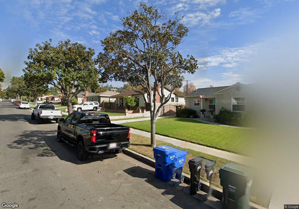
5538 Mavis Ave Whittier, CA 90601
West Whittier NeighborhoodEstimated Value: $717,000 - $798,000
3
Beds
1
Bath
1,036
Sq Ft
$730/Sq Ft
Est. Value
About This Home
This home is located at 5538 Mavis Ave, Whittier, CA 90601 and is currently estimated at $756,654, approximately $730 per square foot. 5538 Mavis Ave is a home located in Los Angeles County with nearby schools including Orange Grove Elementary School, Walter F. Dexter Middle School, and Whittier High School.
Ownership History
Date
Name
Owned For
Owner Type
Purchase Details
Closed on
Sep 5, 2007
Sold by
Mazzone Martha N
Bought by
Serna Froilan and Serna Elizabeth
Current Estimated Value
Home Financials for this Owner
Home Financials are based on the most recent Mortgage that was taken out on this home.
Original Mortgage
$402,550
Outstanding Balance
$253,426
Interest Rate
6.46%
Mortgage Type
Purchase Money Mortgage
Estimated Equity
$503,228
Purchase Details
Closed on
Jun 26, 1997
Sold by
Mazzone Armonto A
Bought by
Mazzone Armonto A and Mazzone Martha N
Create a Home Valuation Report for This Property
The Home Valuation Report is an in-depth analysis detailing your home's value as well as a comparison with similar homes in the area
Home Values in the Area
Average Home Value in this Area
Purchase History
| Date | Buyer | Sale Price | Title Company |
|---|---|---|---|
| Serna Froilan | $415,000 | Advantage Title | |
| Mazzone Armonto A | -- | -- |
Source: Public Records
Mortgage History
| Date | Status | Borrower | Loan Amount |
|---|---|---|---|
| Open | Serna Froilan | $402,550 |
Source: Public Records
Tax History Compared to Growth
Tax History
| Year | Tax Paid | Tax Assessment Tax Assessment Total Assessment is a certain percentage of the fair market value that is determined by local assessors to be the total taxable value of land and additions on the property. | Land | Improvement |
|---|---|---|---|---|
| 2025 | $6,792 | $545,093 | $440,021 | $105,072 |
| 2024 | $6,792 | $534,406 | $431,394 | $103,012 |
| 2023 | $6,664 | $523,929 | $422,936 | $100,993 |
| 2022 | $6,478 | $513,657 | $414,644 | $99,013 |
| 2021 | $6,310 | $503,586 | $406,514 | $97,072 |
| 2019 | $6,208 | $488,651 | $394,457 | $94,194 |
| 2018 | $5,992 | $479,071 | $386,723 | $92,348 |
| 2016 | $5,252 | $418,000 | $337,000 | $81,000 |
| 2015 | $4,927 | $391,000 | $315,400 | $75,600 |
| 2014 | $4,617 | $362,000 | $292,000 | $70,000 |
Source: Public Records
Map
Nearby Homes
- 5518 Norwalk Blvd
- 5315 Bihr Ct
- 10605 Cordoba Ct
- 5307 Woodward Ln
- 11302 Maple St
- 5593 Pioneer Blvd Unit 18
- 5577 Pioneer Blvd Unit 5
- 11511 Beverly Dr
- 5115 Castelotte Ct
- 5107 Vista Verde Way
- 5903 Redman Ave
- 10050 Obregon St
- 10013 Obregon St
- 5729 Juarez Ave
- 11759 S Circle Dr
- 11273 Dorland Dr
- 11232 Dorland Dr
- 9900 Tagus St Unit 30
- 10825 Loch Avon Dr
- 11447 Broadway Ave
- 5532 Mavis Ave
- 5542 Mavis Ave
- 5528 Mavis Ave
- 5548 Mavis Ave
- 5535 Rockne Ave
- 5541 Rockne Ave
- 5522 Mavis Ave
- 5552 Mavis Ave
- 5531 Rockne Ave
- 5547 Rockne Ave
- 5525 Rockne Ave
- 5537 Mavis Ave
- 5553 Rockne Ave
- 5518 Mavis Ave
- 5558 Mavis Ave
- 5533 Mavis Ave
- 5543 Mavis Ave
- 5527 Mavis Ave
- 5547 Mavis Ave
- 5519 Rockne Ave