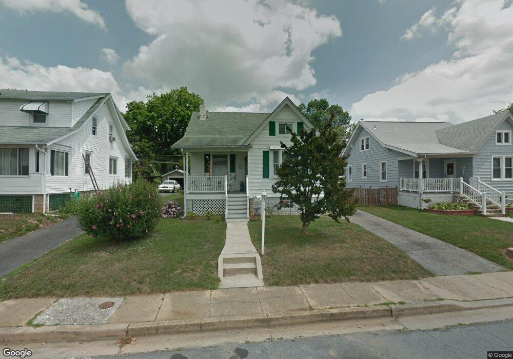
5539 Link Ave Halethorpe, MD 21227
Estimated Value: $260,000 - $304,000
Studio
1
Bath
1,360
Sq Ft
$213/Sq Ft
Est. Value
About This Home
This home is located at 5539 Link Ave, Halethorpe, MD 21227 and is currently estimated at $289,470, approximately $212 per square foot. 5539 Link Ave is a home located in Baltimore County with nearby schools including Arbutus Elementary School, Arbutus Middle School, and Lansdowne High School.
Ownership History
Date
Name
Owned For
Owner Type
Purchase Details
Closed on
Oct 30, 2024
Sold by
Foe Larry Morgan and Foe Mary Carol
Bought by
Ritter Lindsey N and Ritter William H
Current Estimated Value
Home Financials for this Owner
Home Financials are based on the most recent Mortgage that was taken out on this home.
Original Mortgage
$268,055
Outstanding Balance
$265,387
Interest Rate
6.12%
Mortgage Type
FHA
Estimated Equity
$24,084
Purchase Details
Closed on
Jun 7, 1976
Sold by
Wootton Isabella J
Bought by
Foe Larry Morgan and Foe Mary Carol
Create a Home Valuation Report for This Property
The Home Valuation Report is an in-depth analysis detailing your home's value as well as a comparison with similar homes in the area
Home Values in the Area
Average Home Value in this Area
Purchase History
| Date | Buyer | Sale Price | Title Company |
|---|---|---|---|
| Ritter Lindsey N | $273,000 | In Title | |
| Ritter Lindsey N | $273,000 | In Title | |
| Foe Larry Morgan | $31,000 | -- |
Source: Public Records
Mortgage History
| Date | Status | Borrower | Loan Amount |
|---|---|---|---|
| Open | Ritter Lindsey N | $268,055 | |
| Closed | Ritter Lindsey N | $268,055 |
Source: Public Records
Tax History
| Year | Tax Paid | Tax Assessment Tax Assessment Total Assessment is a certain percentage of the fair market value that is determined by local assessors to be the total taxable value of land and additions on the property. | Land | Improvement |
|---|---|---|---|---|
| 2025 | $2,919 | $204,700 | -- | -- |
| 2024 | $2,919 | $189,300 | $90,700 | $98,600 |
| 2023 | $2,361 | $185,900 | $0 | $0 |
| 2022 | $5,539 | $182,500 | $0 | $0 |
| 2021 | $3,149 | $179,100 | $61,400 | $117,700 |
| 2020 | $3,149 | $176,000 | $0 | $0 |
| 2019 | $2,911 | $172,900 | $0 | $0 |
| 2018 | $2,774 | $169,800 | $61,400 | $108,400 |
| 2017 | $1,116 | $163,700 | $0 | $0 |
| 2016 | $2,369 | $157,600 | $0 | $0 |
| 2015 | $2,369 | $151,500 | $0 | $0 |
| 2014 | $2,369 | $151,500 | $0 | $0 |
Source: Public Records
Map
Nearby Homes
- 5521 Willys Ave
- 5605 Oregon Ave
- 5522 Ashbourne Rd
- 1416 Sulphur Spring Rd
- 1207 Brewster St
- 1328 Stevens Ave
- 5402 Council St
- 1078 Downton Rd
- 4606 Ridge Ave
- 4412 Maple Ave
- 1710H Selma Ave
- 4415 Linden Ave
- 1204 Birch Ave
- 1027 Downton Rd
- 1258 Linden Ave
- 1211 Poplar Ave
- 4624 Magnolia Ave
- 0 Dewitt Rd
- 1816 Fairview Ave
- 1015 Stormont Cir
- 5541 Link Ave
- 5537 Link Ave
- 5535 Link Ave
- 5543 Link Ave
- 5538 Carville Ave
- 5540 Carville Ave
- 5536 Carville Ave
- 5545 Link Ave
- 5534 Carville Ave
- 5533 Link Ave
- 5538 Link Ave
- 5540 Link Ave
- 5536 Link Ave
- 5542 Link Ave
- 5547 Link Ave
- 5544 Carville Ave
- 5534 Link Ave
- 5544 Link Ave
- 5531 Link Ave
- 5532 Carville Ave
Your Personal Tour Guide
Ask me questions while you tour the home.