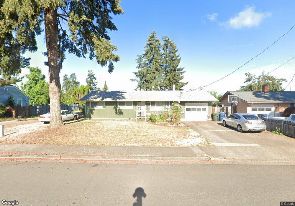
554 49th St Springfield, OR 97478
East Springfield NeighborhoodEstimated Value: $357,000 - $404,453
3
Beds
2
Baths
1,626
Sq Ft
$240/Sq Ft
Est. Value
About This Home
This home is located at 554 49th St, Springfield, OR 97478 and is currently estimated at $390,363, approximately $240 per square foot. 554 49th St is a home located in Lane County with nearby schools including Riverbend Elementary School, Agnes Stewart Middle School, and Thurston High School.
Ownership History
Date
Name
Owned For
Owner Type
Purchase Details
Closed on
Nov 24, 2020
Sold by
Vandegriffe Cindy
Bought by
Ashley Kristy and Ashley Eric Dean
Current Estimated Value
Home Financials for this Owner
Home Financials are based on the most recent Mortgage that was taken out on this home.
Original Mortgage
$267,332
Outstanding Balance
$237,344
Interest Rate
2.8%
Mortgage Type
FHA
Estimated Equity
$153,019
Purchase Details
Closed on
Mar 15, 2012
Sold by
Thompson Harley
Bought by
Vandegriffe Cindy
Purchase Details
Closed on
Apr 12, 2002
Sold by
Barker Derrold E and Barker Sylvia H
Bought by
Barker Derrold E and Barker Sylvia H
Create a Home Valuation Report for This Property
The Home Valuation Report is an in-depth analysis detailing your home's value as well as a comparison with similar homes in the area
Home Values in the Area
Average Home Value in this Area
Purchase History
| Date | Buyer | Sale Price | Title Company |
|---|---|---|---|
| Ashley Kristy | $272,500 | Western Title & Escrow | |
| Vandegriffe Cindy | $80,000 | Evergreen Land Title Company | |
| Barker Derrold E | -- | -- |
Source: Public Records
Mortgage History
| Date | Status | Borrower | Loan Amount |
|---|---|---|---|
| Open | Ashley Kristy | $267,332 |
Source: Public Records
Tax History
| Year | Tax Paid | Tax Assessment Tax Assessment Total Assessment is a certain percentage of the fair market value that is determined by local assessors to be the total taxable value of land and additions on the property. | Land | Improvement |
|---|---|---|---|---|
| 2025 | $3,534 | $192,699 | -- | -- |
| 2024 | $3,476 | $187,087 | -- | -- |
| 2023 | $3,476 | $181,638 | $0 | $0 |
| 2022 | $3,220 | $176,348 | $0 | $0 |
| 2021 | $3,162 | $171,212 | $0 | $0 |
| 2020 | $3,070 | $166,226 | $0 | $0 |
| 2019 | $2,977 | $161,385 | $0 | $0 |
| 2018 | $2,807 | $152,121 | $0 | $0 |
| 2017 | $2,699 | $152,121 | $0 | $0 |
| 2016 | $2,642 | $147,690 | $0 | $0 |
| 2015 | $2,562 | $143,388 | $0 | $0 |
| 2014 | $2,528 | $139,212 | $0 | $0 |
Source: Public Records
Map
Nearby Homes
- 0 N St
- 422 S 49th Place
- 340 54th St
- 775 54th St
- 733 54th St
- 503 S 51st Place
- 5495 A Units 69 70 71 72 St
- 4733 Union Terrace
- 4973 Forsythia St
- 569 S 51st Place
- 5570 B St
- 5524 E St
- 4680 Glacier Meadows Loop
- 205 S 54th (#11) St Unit 11
- 5210 Holly St
- 5259 Holly St
- 5024 Cedar View Dr
- 4908 Holly St
- 5335 Main St Unit 236
- 5335 Main St
Your Personal Tour Guide
Ask me questions while you tour the home.