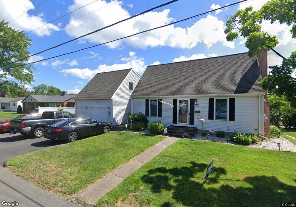
554 Nott St Wethersfield, CT 06109
Estimated Value: $369,000 - $443,000
2
Beds
2
Baths
1,658
Sq Ft
$245/Sq Ft
Est. Value
About This Home
This home is located at 554 Nott St, Wethersfield, CT 06109 and is currently estimated at $405,448, approximately $244 per square foot. 554 Nott St is a home located in Hartford County with nearby schools including Emerson-Williams School, Silas Deane Middle School, and Wethersfield High School.
Ownership History
Date
Name
Owned For
Owner Type
Purchase Details
Closed on
Apr 1, 1999
Sold by
Guerin Lori R
Bought by
Kazakos Anthony and Kazakos Lucia N
Current Estimated Value
Home Financials for this Owner
Home Financials are based on the most recent Mortgage that was taken out on this home.
Original Mortgage
$119,939
Outstanding Balance
$29,715
Interest Rate
6.78%
Estimated Equity
$375,733
Purchase Details
Closed on
Jun 22, 1993
Sold by
Mcdonald Girard J and Mcdonald Suzanne
Bought by
White Lori R
Create a Home Valuation Report for This Property
The Home Valuation Report is an in-depth analysis detailing your home's value as well as a comparison with similar homes in the area
Home Values in the Area
Average Home Value in this Area
Purchase History
| Date | Buyer | Sale Price | Title Company |
|---|---|---|---|
| Kazakos Anthony | $120,000 | -- | |
| White Lori R | $126,000 | -- |
Source: Public Records
Mortgage History
| Date | Status | Borrower | Loan Amount |
|---|---|---|---|
| Open | White Lori R | $43,000 | |
| Closed | White Lori R | $40,000 | |
| Closed | White Lori R | $29,000 | |
| Open | White Lori R | $119,939 |
Source: Public Records
Tax History
| Year | Tax Paid | Tax Assessment Tax Assessment Total Assessment is a certain percentage of the fair market value that is determined by local assessors to be the total taxable value of land and additions on the property. | Land | Improvement |
|---|---|---|---|---|
| 2025 | $10,615 | $257,530 | $67,120 | $190,410 |
| 2024 | $7,320 | $169,370 | $60,370 | $109,000 |
| 2023 | $7,076 | $169,370 | $60,370 | $109,000 |
| 2022 | $6,958 | $169,370 | $60,370 | $109,000 |
| 2021 | $6,888 | $169,370 | $60,370 | $109,000 |
| 2020 | $6,892 | $169,370 | $60,370 | $109,000 |
| 2019 | $6,900 | $169,370 | $60,370 | $109,000 |
| 2018 | $6,827 | $167,400 | $55,600 | $111,800 |
| 2017 | $6,657 | $167,400 | $55,600 | $111,800 |
| 2016 | $6,452 | $167,400 | $55,600 | $111,800 |
| 2015 | $6,393 | $167,400 | $55,600 | $111,800 |
| 2014 | $6,150 | $167,400 | $55,600 | $111,800 |
Source: Public Records
Map
Nearby Homes
- 295 Ridge Rd Unit 8
- 48 Ridge Crest Cir
- 19 Albert Ave
- 116 Wells Farm Dr
- 1310 Berlin Turnpike Unit 223
- 273 Forest Dr
- 173 Timber Trail
- 20 Forest Dr
- 219 Jordan Ln Unit 221
- 90 Goodwin Park Rd
- 12 Bates Place
- 104 Willow St
- 137 Dale Rd
- 87 Somerset St
- 91 Somerset St
- 18 Avalon Place
- 704 Franklin Ave
- 455 Brimfield Rd
- 1 Fernwood St
- 317 Garden St Unit 319
Your Personal Tour Guide
Ask me questions while you tour the home.