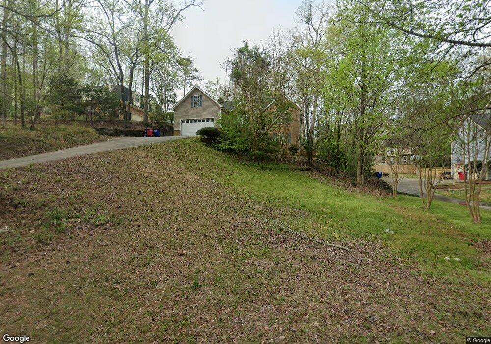
554 Sioux Dr Macon, GA 31210
Estimated Value: $244,000 - $299,000
3
Beds
2
Baths
1,838
Sq Ft
$146/Sq Ft
Est. Value
About This Home
This home is located at 554 Sioux Dr, Macon, GA 31210 and is currently estimated at $268,822, approximately $146 per square foot. 554 Sioux Dr is a home located in Bibb County with nearby schools including Lane Elementary School, Howard Middle School, and Howard High School.
Ownership History
Date
Name
Owned For
Owner Type
Purchase Details
Closed on
Jun 3, 2025
Sold by
White Leslie G
Bought by
White Leslie G and White Nathan Russell
Current Estimated Value
Purchase Details
Closed on
Feb 8, 2005
Sold by
Leslie Homes Inc
Bought by
White Leslie G
Home Financials for this Owner
Home Financials are based on the most recent Mortgage that was taken out on this home.
Original Mortgage
$138,000
Interest Rate
5.72%
Mortgage Type
New Conventional
Purchase Details
Closed on
Jul 20, 2001
Create a Home Valuation Report for This Property
The Home Valuation Report is an in-depth analysis detailing your home's value as well as a comparison with similar homes in the area
Purchase History
| Date | Buyer | Sale Price | Title Company |
|---|---|---|---|
| White Leslie G | -- | None Listed On Document | |
| White Leslie G | -- | None Available | |
| -- | $10,000 | -- |
Source: Public Records
Mortgage History
| Date | Status | Borrower | Loan Amount |
|---|---|---|---|
| Previous Owner | White Leslie G | $138,000 |
Source: Public Records
Tax History
| Year | Tax Paid | Tax Assessment Tax Assessment Total Assessment is a certain percentage of the fair market value that is determined by local assessors to be the total taxable value of land and additions on the property. | Land | Improvement |
|---|---|---|---|---|
| 2025 | $2,509 | $102,088 | $30,000 | $72,088 |
| 2024 | $2,593 | $102,088 | $30,000 | $72,088 |
| 2023 | $2,593 | $102,088 | $30,000 | $72,088 |
| 2022 | $1,333 | $77,025 | $8,804 | $68,221 |
| 2021 | $2,428 | $63,906 | $8,804 | $55,102 |
| 2020 | $2,481 | $63,906 | $8,804 | $55,102 |
| 2019 | $2,665 | $63,906 | $8,804 | $55,102 |
| 2018 | $4,546 | $72,834 | $8,804 | $64,030 |
| 2017 | $2,476 | $66,094 | $8,804 | $57,290 |
| 2016 | $2,287 | $66,094 | $8,804 | $57,290 |
| 2015 | $3,237 | $66,094 | $8,804 | $57,290 |
| 2014 | $3,722 | $66,094 | $8,804 | $57,290 |
Source: Public Records
Map
Nearby Homes
- 556 Commanche Place
- 673 Commanche Dr
- 208 Huntington Ct
- 750 Stonington Place
- 231 Alexandria Dr
- 753 Lokchapee Dr
- 627 Lokchapee Ridge
- 859 Forest Lake Dr S
- 4620 S Stratford Oaks Dr
- 4713 Lattimore Dr
- 122 Lundy Ct
- 4811 Guerry Dr
- 870 Glen Hill Ct
- 120 Idle Hour Dr
- 150 Tucker Rd
- 4164 Wood Forest Place
- 1406 Maplewood Dr
- 1422 Forest Hill Rd
- 605 Wesleyan Dr
- 532 Sioux Dr
- 570 Sioux Dr
- 559 Commanche Dr
- 571 Commanche Dr
- 527 Commanche Dr
- 585 Commanche Dr
- 490 Lokchapee Dr
- 547 Commanche Dr
- 474 Lokchapee Dr
- 601 Commanche Dr
- 523 Sioux Dr
- 460 Lokchapee Dr
- 605 Commanche Dr
- 570 Commanche Dr
- 596 Commanche Dr
- 584 Commanche Dr
- 558 Commanche Dr
- 532 Lokchapee Dr
- 430 Lokchapee Dr
- 600 Commanche Dr
Your Personal Tour Guide
Ask me questions while you tour the home.