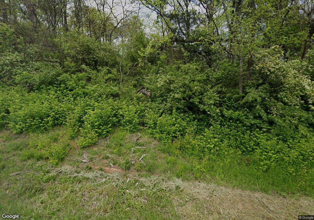
554 Statem Gap Rd Morristown, TN 37813
Estimated Value: $346,185 - $535,000
4
Beds
2
Baths
2,304
Sq Ft
$184/Sq Ft
Est. Value
About This Home
This home is located at 554 Statem Gap Rd, Morristown, TN 37813 and is currently estimated at $423,395, approximately $183 per square foot. 554 Statem Gap Rd is a home located in Hamblen County with nearby schools including Witt Elementary School, Lincoln Heights Middle School, and Morristown West High School.
Ownership History
Date
Name
Owned For
Owner Type
Purchase Details
Closed on
Nov 23, 2011
Sold by
Murray Harold Wayne
Bought by
Murray Lewis H and Murray Margaret J
Current Estimated Value
Purchase Details
Closed on
Oct 24, 2008
Sold by
Murray Lewis H
Bought by
Murray Harold Wayne
Purchase Details
Closed on
May 14, 2001
Bought by
Byerley J R & Sandra Dba Byerley Rentals
Purchase Details
Closed on
May 22, 1992
Bought by
Seals Grank and Seals Geraldine
Purchase Details
Closed on
Jan 1, 1975
Bought by
Quinton Isaac
Purchase Details
Closed on
Sep 4, 1931
Bought by
Quinton Floyd
Create a Home Valuation Report for This Property
The Home Valuation Report is an in-depth analysis detailing your home's value as well as a comparison with similar homes in the area
Home Values in the Area
Average Home Value in this Area
Purchase History
| Date | Buyer | Sale Price | Title Company |
|---|---|---|---|
| Murray Lewis H | $500 | -- | |
| Murray Harold Wayne | $25,600 | -- | |
| Byerley J R & Sandra Dba Byerley Rentals | $64,000 | -- | |
| Seals Grank | $10,000 | -- | |
| Quinton Isaac | -- | -- | |
| Quinton Floyd | -- | -- |
Source: Public Records
Tax History Compared to Growth
Tax History
| Year | Tax Paid | Tax Assessment Tax Assessment Total Assessment is a certain percentage of the fair market value that is determined by local assessors to be the total taxable value of land and additions on the property. | Land | Improvement |
|---|---|---|---|---|
| 2025 | $1,092 | $74,275 | $7,675 | $66,600 |
| 2024 | $706 | $35,850 | $5,800 | $30,050 |
| 2023 | $706 | $35,850 | $0 | $0 |
| 2022 | $706 | $35,850 | $5,800 | $30,050 |
| 2021 | $706 | $35,850 | $5,800 | $30,050 |
| 2020 | $706 | $35,850 | $5,800 | $30,050 |
| 2019 | $665 | $31,225 | $5,125 | $26,100 |
| 2018 | $665 | $31,225 | $5,125 | $26,100 |
| 2017 | $665 | $31,225 | $5,125 | $26,100 |
| 2016 | $621 | $31,225 | $5,125 | $26,100 |
| 2015 | $578 | $31,225 | $5,125 | $26,100 |
| 2014 | -- | $31,225 | $5,125 | $26,100 |
| 2013 | -- | $36,075 | $0 | $0 |
Source: Public Records
Map
Nearby Homes
- 453 Statem Gap Rd
- 1160 Statem Gap Rd
- 1951 Sykes Rd
- 510 Old Witt Rd
- 1500 S Davy Crockett Pkwy
- 2752 N Coffey Rd
- 305-365 Barkley Landing Dr
- 203 Lincoln Ave
- 715 Lincoln Ave
- 271 Sequoyah Dr
- 2895 Coffey Rd
- 2024 Southwood Cir
- 731 Lennie Ave
- 3530 Sublett Rd
- 2061 Southwood Cir
- 1049 Greenway Dr
- 108 Annie Ln
- 109 Annie Ln
- 811 Crescent St
- 98 Geneva Ln
- 500 Statem Gap Rd
- 502 Statem Gap Rd
- 459 Statem Gap Rd
- 736 Statem Gap Rd
- 893 Pine Brooke Rd
- 921 Pinebrook Rd
- 921 Pine Brooke Rd
- 735 Pine Brooke Rd
- 715 Pine Brooke Rd
- 715 Pine Brooke Rd
- 729 Pine Brooke Rd
- 444 Statem Gap Rd
- 725 Pine Brooke Rd
- 748 Statem Gap Rd
- 977 Pine Brooke Rd
- Parcel 007.14 Pinebrook Rd
- 987 Pine Brooke Rd
- 370 Statem Gap Rd
- 449 Statem Gap Rd
- 1005 Pine Brooke Rd
