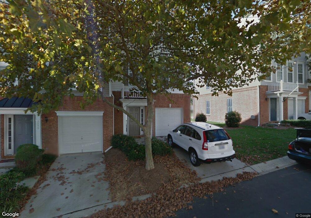
5541 Red Robin Rd Raleigh, NC 27613
Northwest Raleigh NeighborhoodEstimated Value: $355,000 - $380,000
3
Beds
4
Baths
1,917
Sq Ft
$191/Sq Ft
Est. Value
About This Home
This home is located at 5541 Red Robin Rd, Raleigh, NC 27613 and is currently estimated at $365,413, approximately $190 per square foot. 5541 Red Robin Rd is a home located in Wake County with nearby schools including Hilburn Academy, Leesville Road Middle School, and Leesville Road High School.
Ownership History
Date
Name
Owned For
Owner Type
Purchase Details
Closed on
Mar 5, 2008
Sold by
Paci Alain
Bought by
Paci Gabrielle
Current Estimated Value
Purchase Details
Closed on
Dec 28, 2000
Sold by
Pulte Home Corp
Bought by
Paci Alain and Paci Gabrielle
Home Financials for this Owner
Home Financials are based on the most recent Mortgage that was taken out on this home.
Original Mortgage
$140,368
Outstanding Balance
$52,467
Interest Rate
7.72%
Estimated Equity
$312,946
Create a Home Valuation Report for This Property
The Home Valuation Report is an in-depth analysis detailing your home's value as well as a comparison with similar homes in the area
Home Values in the Area
Average Home Value in this Area
Purchase History
| Date | Buyer | Sale Price | Title Company |
|---|---|---|---|
| Paci Gabrielle | -- | None Available | |
| Paci Alain | $156,000 | -- |
Source: Public Records
Mortgage History
| Date | Status | Borrower | Loan Amount |
|---|---|---|---|
| Open | Paci Alain | $140,368 |
Source: Public Records
Tax History Compared to Growth
Tax History
| Year | Tax Paid | Tax Assessment Tax Assessment Total Assessment is a certain percentage of the fair market value that is determined by local assessors to be the total taxable value of land and additions on the property. | Land | Improvement |
|---|---|---|---|---|
| 2025 | $3,042 | $346,512 | $105,000 | $241,512 |
| 2024 | $3,029 | $346,512 | $105,000 | $241,512 |
| 2023 | $2,520 | $229,368 | $46,000 | $183,368 |
| 2022 | $2,342 | $229,368 | $46,000 | $183,368 |
| 2021 | $2,252 | $229,368 | $46,000 | $183,368 |
| 2020 | $2,211 | $229,368 | $46,000 | $183,368 |
| 2019 | $2,053 | $175,467 | $42,000 | $133,467 |
| 2018 | $1,937 | $175,467 | $42,000 | $133,467 |
| 2017 | $1,845 | $175,467 | $42,000 | $133,467 |
| 2016 | $1,808 | $175,467 | $42,000 | $133,467 |
| 2015 | $1,850 | $176,706 | $42,000 | $134,706 |
| 2014 | $1,755 | $176,706 | $42,000 | $134,706 |
Source: Public Records
Map
Nearby Homes
- 5548 Red Robin Rd
- 5529 Golden Arrow Ln
- 7226 Corvette Ct
- 7253 Galon Glen Rd
- 5634 Berry Creek Cir
- 5630 Berry Creek Cir
- 5620 Berry Creek Cir
- 4044 Barton Park Place
- 5606 Berry Creek Cir
- 7440 Lagrange Dr
- 8257 Primanti Blvd
- 7809 Lillyhurst Dr
- 7802 Allscott Way
- 8118 Primanti Blvd
- 8104 Primanti Blvd
- 502 Plumleaf Rd
- 8106 Sommerwell St
- 6321 Pesta Ct
- 7851 Allscott Way
- 6307 Pesta Ct
- 5539 Red Robin Rd
- 5551 Red Robin Rd
- 5537 Red Robin Rd
- 5553 Red Robin Rd
- 5535 Red Robin Rd
- 5555 Red Robin Rd
- 5533 Red Robin Rd
- 5557 Red Robin Rd
- 5531 Red Robin Rd
- 5544 Red Robin Rd
- 5540 Red Robin Rd
- 5530 Shady Crest Dr
- 5542 Red Robin Rd
- 5532 Shady Crest Dr
- 5528 Shady Crest Dr
- 5526 Shady Crest Dr
- 5546 Red Robin Rd
- 5530 Red Robin Rd
- 5524 Shady Crest Dr
- 7113 Lovko Dr