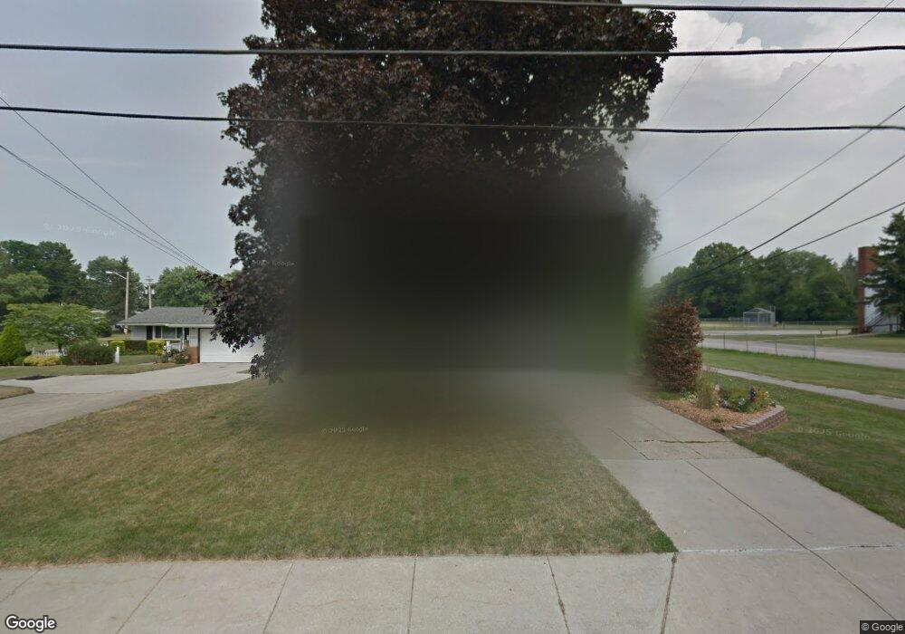
5541 W 220th St Cleveland, OH 44126
Estimated Value: $289,000 - $342,000
4
Beds
3
Baths
1,720
Sq Ft
$190/Sq Ft
Est. Value
About This Home
This home is located at 5541 W 220th St, Cleveland, OH 44126 and is currently estimated at $326,740, approximately $189 per square foot. 5541 W 220th St is a home located in Cuyahoga County with nearby schools including Gilles-Sweet Elementary School, Lewis F Mayer Middle School, and Fairview High School.
Ownership History
Date
Name
Owned For
Owner Type
Purchase Details
Closed on
Nov 4, 1998
Sold by
Sternad Gerald S and Sternad Marie L
Bought by
Fox Michael R and Gray Mary
Current Estimated Value
Home Financials for this Owner
Home Financials are based on the most recent Mortgage that was taken out on this home.
Original Mortgage
$127,300
Outstanding Balance
$28,006
Interest Rate
6.68%
Estimated Equity
$298,734
Purchase Details
Closed on
Jan 1, 1975
Bought by
Sternad Gerald S and Sternad Marie L
Create a Home Valuation Report for This Property
The Home Valuation Report is an in-depth analysis detailing your home's value as well as a comparison with similar homes in the area
Home Values in the Area
Average Home Value in this Area
Purchase History
| Date | Buyer | Sale Price | Title Company |
|---|---|---|---|
| Fox Michael R | $134,000 | Resource Title Agency Inc | |
| Sternad Gerald S | -- | -- |
Source: Public Records
Mortgage History
| Date | Status | Borrower | Loan Amount |
|---|---|---|---|
| Open | Fox Michael R | $127,300 |
Source: Public Records
Tax History Compared to Growth
Tax History
| Year | Tax Paid | Tax Assessment Tax Assessment Total Assessment is a certain percentage of the fair market value that is determined by local assessors to be the total taxable value of land and additions on the property. | Land | Improvement |
|---|---|---|---|---|
| 2024 | $7,545 | $108,115 | $18,130 | $89,985 |
| 2023 | $6,048 | $73,890 | $15,370 | $58,520 |
| 2022 | $5,900 | $73,890 | $15,370 | $58,520 |
| 2021 | $6,036 | $73,890 | $15,370 | $58,520 |
| 2020 | $5,548 | $59,570 | $12,390 | $47,180 |
| 2019 | $4,944 | $170,200 | $35,400 | $134,800 |
| 2018 | $4,711 | $59,570 | $12,390 | $47,180 |
| 2017 | $4,681 | $52,080 | $11,200 | $40,880 |
| 2016 | $4,650 | $52,080 | $11,200 | $40,880 |
| 2015 | $4,399 | $52,080 | $11,200 | $40,880 |
| 2014 | $4,399 | $49,600 | $10,680 | $38,920 |
Source: Public Records
Map
Nearby Homes
- 21760 Sherwood Dr
- 22276 Sycamore Dr
- 5300 Sherwood Dr
- 22439 Haber Dr
- 22534 Bard Ave
- 22250 Mastick Rd
- 22503 Sandy Ln
- 21877 Seabury Ave
- 22537 Lenox Dr
- 22640 Lenox Dr
- 22831 Esther Ave
- 22636 Mastick Rd
- 21104 Mastick Rd
- 22934 Mastick Rd Unit 102
- 21888 Eaton Rd
- 20930 Mastick Rd
- 4480 W 224th St
- 4464 W 224th St
- 4654 W 221st St
- 4570 W 228th St
- 5531 W 220th St
- 21961 Sherwood Dr
- 21941 Sherwood Dr
- 21921 Sherwood Dr
- 5494 W 220th St
- 5455 W 220th St
- 5532 W 220th St
- 21901 Sherwood Dr
- 5546 W 220th St
- 5562 W 220th St
- 5595 W 220th St
- 5440 W 220th St
- 5576 W 220th St
- 5435 W 220th St
- 21881 Sherwood Dr
- 21920 Sherwood Dr
- 5424 W 220th St
- 5615 W 220th St
- 5415 W 220th St
- 21900 Sherwood Dr