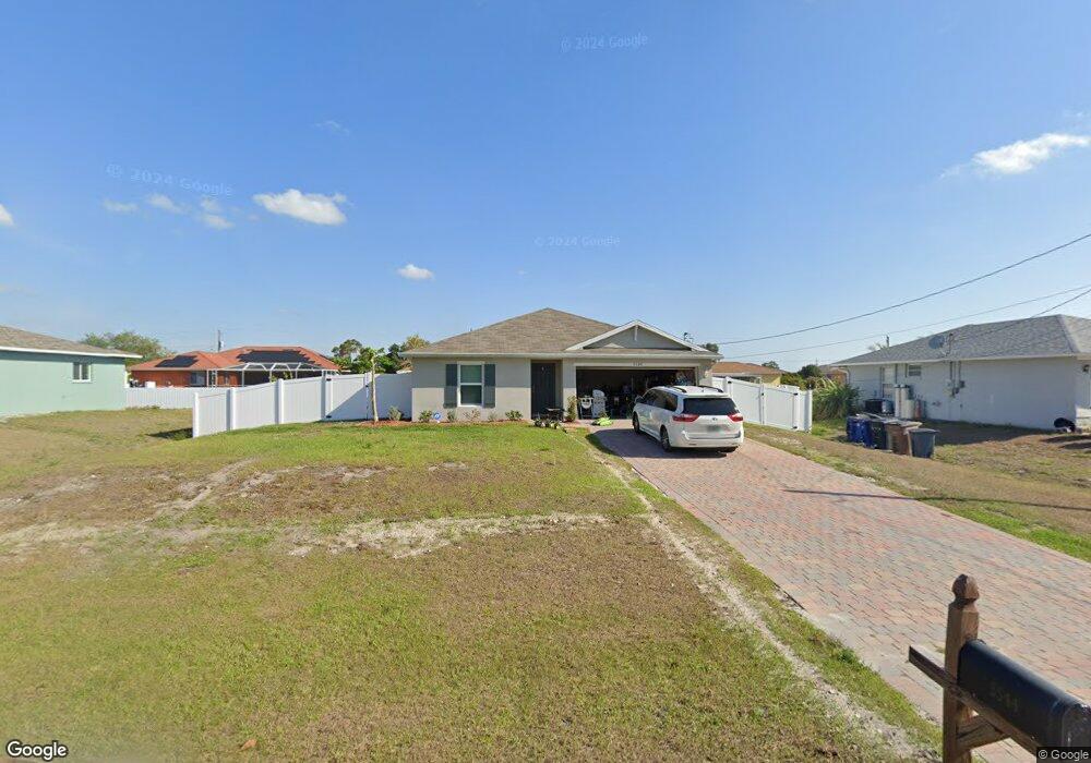
5544 Banning St Lehigh Acres, FL 33971
Centennial NeighborhoodEstimated Value: $292,341 - $409,000
4
Beds
2
Baths
1,499
Sq Ft
$227/Sq Ft
Est. Value
About This Home
This home is located at 5544 Banning St, Lehigh Acres, FL 33971 and is currently estimated at $340,585, approximately $227 per square foot. 5544 Banning St is a home with nearby schools including Gateway Elementary School, Tice Elementary School, and Orange River Elementary School.
Ownership History
Date
Name
Owned For
Owner Type
Purchase Details
Closed on
Jul 31, 2020
Sold by
Dr Horton Inc
Bought by
Gurganus Roger A and Gurganus Bryan Thomas
Current Estimated Value
Home Financials for this Owner
Home Financials are based on the most recent Mortgage that was taken out on this home.
Original Mortgage
$160,752
Outstanding Balance
$142,862
Interest Rate
3.1%
Mortgage Type
New Conventional
Estimated Equity
$197,723
Purchase Details
Closed on
Nov 4, 2004
Sold by
Jessica Corp
Bought by
Maddie Corp
Purchase Details
Closed on
Feb 12, 2003
Sold by
Hazen Merle W and Hazen Barbara J
Bought by
Jessica Corp
Create a Home Valuation Report for This Property
The Home Valuation Report is an in-depth analysis detailing your home's value as well as a comparison with similar homes in the area
Home Values in the Area
Average Home Value in this Area
Purchase History
| Date | Buyer | Sale Price | Title Company |
|---|---|---|---|
| Gurganus Roger A | $200,940 | Dhi Title Of Florida | |
| Maddie Corp | $5,000 | First American Title Ins Co | |
| Jessica Corp | -- | -- |
Source: Public Records
Mortgage History
| Date | Status | Borrower | Loan Amount |
|---|---|---|---|
| Open | Gurganus Roger A | $160,752 |
Source: Public Records
Tax History
| Year | Tax Paid | Tax Assessment Tax Assessment Total Assessment is a certain percentage of the fair market value that is determined by local assessors to be the total taxable value of land and additions on the property. | Land | Improvement |
|---|---|---|---|---|
| 2025 | $3,774 | $240,622 | $26,648 | $199,135 |
| 2024 | $3,774 | $232,002 | -- | -- |
| 2023 | $3,467 | $210,911 | $0 | $0 |
| 2022 | $3,196 | $191,737 | $0 | $0 |
| 2021 | $2,455 | $160,976 | $11,000 | $149,976 |
| 2020 | $561 | $9,000 | $9,000 | $0 |
| 2019 | $151 | $7,000 | $7,000 | $0 |
Source: Public Records
Map
Nearby Homes
- 5542 Banning St
- 5540 Banning St Unit 5
- 827 Alvin Ave
- 819 Alvin Ave
- 5540 Brookfield St
- 5538 Brookfield St
- 923 Alvin Ave
- 918 Acroft Ave
- 5510 Brookfield St
- 1010 Allman Ave
- 920 Alaska Ave Unit 3
- 900 Alaska Ave
- 1021 Alvin Ave
- 1015 Agnes Ave
- 1029 Apple Ave
- 1031 Apple Ave
- 825 Anson Ave
- 1017/1019 Albany Ave
- 5562 Burr St
- 1033 Abrams Blvd
- 5546 Banning St Unit 5
- 5535 Barth St
- 5545 Barth St
- 5547 Barth St
- 5543 Barth St
- 5548 Banning St
- 5545 Banning St Unit 5
- 5547 Banning St Unit 5
- 5541 Barth St
- 5549 Banning St Unit 5
- 5541 Banning St Unit 5
- 5538 Banning St
- 901 Allman Ave
- 5550 Barth St
- 5544 Berryman St
- 5546 Berryman St
- 5539 Banning St
- 825 Alvin Ave Unit 5
- 829 Alvin Ave Unit 9
Your Personal Tour Guide
Ask me questions while you tour the home.