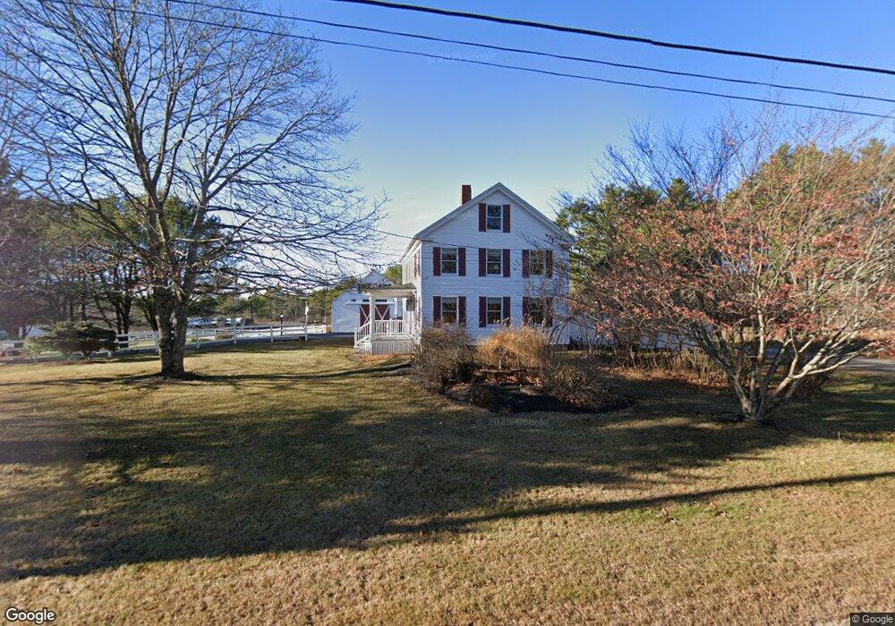
555 Bay Rd Bowdoinham, ME 04008
Estimated Value: $469,651 - $506,000
--
Bed
--
Bath
1,786
Sq Ft
$274/Sq Ft
Est. Value
About This Home
This home is located at 555 Bay Rd, Bowdoinham, ME 04008 and is currently estimated at $490,163, approximately $274 per square foot. 555 Bay Rd is a home with nearby schools including Mt Ararat High School.
Ownership History
Date
Name
Owned For
Owner Type
Purchase Details
Closed on
Apr 4, 2013
Sold by
Robert Shawn C
Bought by
Moore Bruce E and Moore Janet I
Current Estimated Value
Purchase Details
Closed on
Jun 1, 2012
Sold by
Robert Shawn C
Bought by
Robert Shawn C
Home Financials for this Owner
Home Financials are based on the most recent Mortgage that was taken out on this home.
Original Mortgage
$182,000
Interest Rate
3.9%
Mortgage Type
Commercial
Create a Home Valuation Report for This Property
The Home Valuation Report is an in-depth analysis detailing your home's value as well as a comparison with similar homes in the area
Home Values in the Area
Average Home Value in this Area
Purchase History
| Date | Buyer | Sale Price | Title Company |
|---|---|---|---|
| Moore Bruce E | -- | -- | |
| Robert Shawn C | -- | -- |
Source: Public Records
Mortgage History
| Date | Status | Borrower | Loan Amount |
|---|---|---|---|
| Previous Owner | Robert Shawn C | $182,000 |
Source: Public Records
Tax History Compared to Growth
Tax History
| Year | Tax Paid | Tax Assessment Tax Assessment Total Assessment is a certain percentage of the fair market value that is determined by local assessors to be the total taxable value of land and additions on the property. | Land | Improvement |
|---|---|---|---|---|
| 2024 | $6,084 | $289,700 | $82,100 | $207,600 |
| 2023 | $5,649 | $289,700 | $82,100 | $207,600 |
| 2022 | $4,188 | $231,500 | $68,400 | $163,100 |
| 2021 | $3,929 | $231,500 | $68,400 | $163,100 |
| 2020 | $3,905 | $231,500 | $68,400 | $163,100 |
| 2019 | $3,813 | $231,500 | $68,400 | $163,100 |
| 2018 | $3,504 | $204,300 | $68,400 | $135,900 |
| 2017 | $3,442 | $204,300 | $68,400 | $135,900 |
| 2016 | $3,381 | $204,300 | $68,400 | $135,900 |
| 2015 | $3,361 | $204,300 | $68,400 | $135,900 |
| 2014 | $3,320 | $204,300 | $68,400 | $135,900 |
| 2013 | $3,146 | $204,300 | $68,400 | $135,900 |
Source: Public Records
Map
Nearby Homes
- Lot 08 Sara's Way
- 594 Middlesex Rd
- 75 Adams Landing Rd
- 428 Cathance Rd
- 107 Stevenson Way
- 24 Theodore Dr
- 15 Tufton St
- 17 Tufton St
- 31 Franklin Pkwy
- 53 Larry Ln
- 20 Eagle Point Rd
- 573 Old Bath Rd
- 18 Peterson Ln
- 26 Bay Park Dr
- 35 Eider Ln
- 14 Loon Dr
- 55 Somerset Place
- 210 Augusta Rd
- 15 James St
- 150 Old Bath Rd