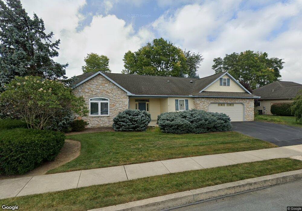
555 Blossom Trail Mount Joy, PA 17552
Estimated Value: $464,648 - $507,000
3
Beds
2
Baths
2,452
Sq Ft
$199/Sq Ft
Est. Value
About This Home
This home is located at 555 Blossom Trail, Mount Joy, PA 17552 and is currently estimated at $489,162, approximately $199 per square foot. 555 Blossom Trail is a home located in Lancaster County with nearby schools including Donegal Intermediate School, Donegal High School, and Susquehanna Waldorf School.
Ownership History
Date
Name
Owned For
Owner Type
Purchase Details
Closed on
Oct 31, 2002
Sold by
Melhorn Robert E and Melhorn Virginia N
Bought by
Dalessio William A and Dalessio Leona S
Current Estimated Value
Home Financials for this Owner
Home Financials are based on the most recent Mortgage that was taken out on this home.
Original Mortgage
$44,000
Interest Rate
6.07%
Mortgage Type
Stand Alone Second
Create a Home Valuation Report for This Property
The Home Valuation Report is an in-depth analysis detailing your home's value as well as a comparison with similar homes in the area
Home Values in the Area
Average Home Value in this Area
Purchase History
| Date | Buyer | Sale Price | Title Company |
|---|---|---|---|
| Dalessio William A | $221,282 | Chicago Title Insurance Co |
Source: Public Records
Mortgage History
| Date | Status | Borrower | Loan Amount |
|---|---|---|---|
| Closed | Dalessio William A | $44,000 |
Source: Public Records
Tax History Compared to Growth
Tax History
| Year | Tax Paid | Tax Assessment Tax Assessment Total Assessment is a certain percentage of the fair market value that is determined by local assessors to be the total taxable value of land and additions on the property. | Land | Improvement |
|---|---|---|---|---|
| 2025 | $6,089 | $239,700 | $44,400 | $195,300 |
| 2024 | $6,089 | $239,700 | $44,400 | $195,300 |
| 2023 | $6,066 | $239,700 | $44,400 | $195,300 |
| 2022 | $6,020 | $239,700 | $44,400 | $195,300 |
| 2021 | $5,908 | $239,700 | $44,400 | $195,300 |
| 2020 | $5,908 | $239,700 | $44,400 | $195,300 |
| 2019 | $5,799 | $239,700 | $44,400 | $195,300 |
| 2018 | $4,226 | $239,700 | $44,400 | $195,300 |
| 2017 | $6,850 | $227,200 | $33,300 | $193,900 |
| 2016 | $6,850 | $227,200 | $33,300 | $193,900 |
| 2015 | $1,746 | $227,200 | $33,300 | $193,900 |
| 2014 | $4,874 | $227,200 | $33,300 | $193,900 |
Source: Public Records
Map
Nearby Homes
- 731 Florin Ave
- 234 Blossom Trail
- 333 Marietta Ave
- 340 Florin Ave
- 341 W Donegal St
- 146 New Haven St
- 471 S Market Ave
- 0 Wood St Unit PALA2045808
- 65 W Donegal St
- 101 & 103 W Main St
- 325 Deerfield Dr
- 201 S Barbara St
- 602 Bernhard Ave
- 430 Orchard Rd
- 104 Merchant Ave Unit ANDOVER
- 104 Merchant Ave Unit MARLOW
- 104 Merchant Ave Unit ELGIN
- 104 Merchant Ave Unit DUNDEE
- 104 Merchant Ave Unit ANDERS
- 104 Merchant Ave Unit ARUNDEL
- 559 Blossom Trail
- 551 Blossom Trail
- 558 Blossom Trail
- 547 Blossom Trail
- 563 Blossom Trail
- 554 Blossom Trail
- 562 Blossom Trail
- 603 Arbor Rose Ave
- 550 Blossom Trail
- 566 Blossom Trail
- 609 Arbor Rose Ave
- 546 Blossom Trail
- 567 Blossom Trail
- 570 Blossom Trail
- 539 Blossom Trail
- 540 Blossom Trail
- 571 Blossom Trail
- 524 Peace Ave
- 615 Arbor Rose Ave
- 575 Blossom Trail