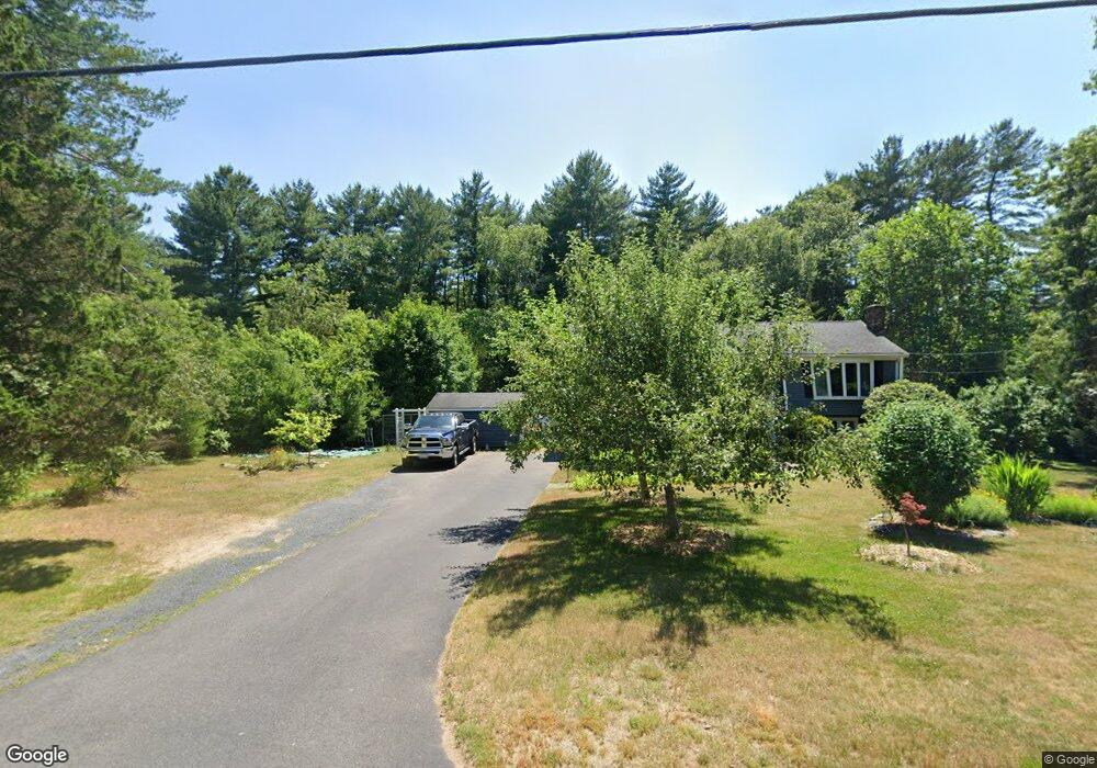
555 Conant St Bridgewater, MA 02324
Estimated Value: $549,476 - $794,000
3
Beds
3
Baths
1,184
Sq Ft
$546/Sq Ft
Est. Value
About This Home
This home is located at 555 Conant St, Bridgewater, MA 02324 and is currently estimated at $646,619, approximately $546 per square foot. 555 Conant St is a home located in Plymouth County with nearby schools including Mitchell Elementary School, Williams Intermediate School, and Bridgewater Middle School.
Ownership History
Date
Name
Owned For
Owner Type
Purchase Details
Closed on
Nov 30, 2018
Sold by
Garcia-Rodriguez Manuel and Garcia Patricia A
Bought by
Reng Ft
Current Estimated Value
Purchase Details
Closed on
Dec 15, 1994
Sold by
Devoe William A and Devoe Darlene M
Bought by
Rodriquez Manuel G and Garcia Patricia Ak
Home Financials for this Owner
Home Financials are based on the most recent Mortgage that was taken out on this home.
Original Mortgage
$109,600
Interest Rate
9.03%
Mortgage Type
Purchase Money Mortgage
Create a Home Valuation Report for This Property
The Home Valuation Report is an in-depth analysis detailing your home's value as well as a comparison with similar homes in the area
Home Values in the Area
Average Home Value in this Area
Purchase History
| Date | Buyer | Sale Price | Title Company |
|---|---|---|---|
| Reng Ft | -- | -- | |
| Rodriquez Manuel G | $128,600 | -- |
Source: Public Records
Mortgage History
| Date | Status | Borrower | Loan Amount |
|---|---|---|---|
| Previous Owner | Rodriquez Manuel G | $106,500 | |
| Previous Owner | Rodriquez Manuel G | $109,600 | |
| Previous Owner | Rodriquez Manuel G | $50,234 | |
| Previous Owner | Rodriquez Manuel G | $19,200 |
Source: Public Records
Tax History Compared to Growth
Tax History
| Year | Tax Paid | Tax Assessment Tax Assessment Total Assessment is a certain percentage of the fair market value that is determined by local assessors to be the total taxable value of land and additions on the property. | Land | Improvement |
|---|---|---|---|---|
| 2025 | $5,849 | $494,400 | $199,200 | $295,200 |
| 2024 | $5,688 | $468,500 | $189,700 | $278,800 |
| 2023 | $5,624 | $438,000 | $177,300 | $260,700 |
| 2022 | $5,552 | $387,700 | $155,500 | $232,200 |
| 2021 | $4,923 | $340,000 | $138,900 | $201,100 |
| 2020 | $4,855 | $329,600 | $133,500 | $196,100 |
| 2019 | $4,789 | $322,900 | $133,500 | $189,400 |
| 2018 | $4,604 | $303,100 | $123,500 | $179,600 |
| 2017 | $4,466 | $286,100 | $123,500 | $162,600 |
| 2016 | $4,278 | $275,300 | $121,100 | $154,200 |
| 2015 | $4,304 | $265,000 | $117,500 | $147,500 |
| 2014 | $4,212 | $259,200 | $114,100 | $145,100 |
Source: Public Records
Map
Nearby Homes
- 489 Flagg St
- 0 Flagg St Unit 73421818
- 9 Titicut Ave
- 41 Titicut Ave
- 32 Titicut Ave Unit Lot 48
- The Beacon Plan at Duxburrow Estates
- The Nottingham Plan at Duxburrow Estates
- The Lexington Plan at Duxburrow Estates
- The Allcot Plan at Duxburrow Estates
- The Camden Plan at Duxburrow Estates
- The Tacoma Plan at Duxburrow Estates
- The Fenway Plan at Duxburrow Estates
- The Newton Grand Plan at Duxburrow Estates
- The Nathan Plan at Duxburrow Estates
- The Chaves Plan at Duxburrow Estates
- The Newton Plan at Duxburrow Estates
- The Broadway Plan at Duxburrow Estates
- The Belvidere Plan at Duxburrow Estates
- The Cambria Plan at Duxburrow Estates
- The Deerfield Plan at Duxburrow Estates