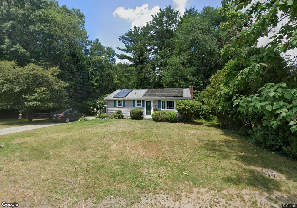
555 Cross St Bridgewater, MA 02324
Estimated Value: $402,000 - $500,000
About This Home
This home is located at 555 Cross St, Bridgewater, MA 02324 and is currently estimated at $468,267, approximately $513 per square foot. 555 Cross St is a home located in Plymouth County with nearby schools including Mitchell Elementary School, Williams Intermediate School, and Bridgewater Middle School.
Ownership History
We collect this data history from publicly available records. To have your information removed, we recommend requesting removal directly through your county’s website.
Purchase Details
Purchase Details
Home Values in the Area
Average Home Value in this Area
Purchase History
We collect this data history from publicly available records. To have your information removed, we recommend requesting removal directly through your county’s website.
| Date | Buyer | Sale Price | Title Company |
|---|---|---|---|
| -- | -- | ||
| -- | -- |
Mortgage History
We collect this data history from publicly available records. To have your information removed, we recommend requesting removal directly through your county’s website.
| Date | Status | Borrower | Loan Amount |
|---|---|---|---|
| Closed | $25,000 | ||
| Closed | $20,000 |
Tax History
We collect this data history from publicly available records. To have your information removed, we recommend requesting removal directly through your county’s website.
| Year | Tax Paid | Tax Assessment Tax Assessment Total Assessment is a certain percentage of the fair market value that is determined by local assessors to be the total taxable value of land and additions on the property. | Land | Improvement |
|---|---|---|---|---|
| 2025 | $4,621 | $390,600 | $186,400 | $204,200 |
| 2024 | $4,470 | $368,200 | $177,500 | $190,700 |
| 2023 | $4,421 | $344,300 | $165,900 | $178,400 |
| 2022 | $4,328 | $302,200 | $145,500 | $156,700 |
| 2021 | $8,708 | $269,700 | $129,900 | $139,800 |
| 2020 | $3,849 | $261,300 | $124,900 | $136,400 |
| 2019 | $7,431 | $254,900 | $124,900 | $130,000 |
| 2018 | $7,071 | $226,000 | $115,300 | $110,700 |
| 2017 | $7,208 | $214,200 | $115,300 | $98,900 |
| 2016 | $3,214 | $206,800 | $113,000 | $93,800 |
| 2015 | $3,220 | $198,300 | $109,700 | $88,600 |
| 2014 | $3,037 | $186,900 | $100,800 | $86,100 |
Map
- 101 Atkinson Dr
- 1599 South St
- 40 Legge St
- 71 Forest St
- 65 Grange Park
- 0 Locust St Unit 73511723
- 678 Pine St
- 92 Norlen Park
- 30 Spruce St
- 27 Brian Rd
- 82 Concetta Dr
- 0 Pine St Unit 73492996
- 858 Pine St Unit Model
- 3 Jasmine Way
- 5 Jasmine Way
- Off Vernon St
- 45 Flagstone Place Unit 45
- 85 Fox Hill Dr
- 151 Princess Ln
- 334 Forest St
Ask me questions while you tour the home.