Estimated Value: $257,440 - $315,000
Studio
--
Bath
2,526
Sq Ft
$112/Sq Ft
Est. Value
About This Home
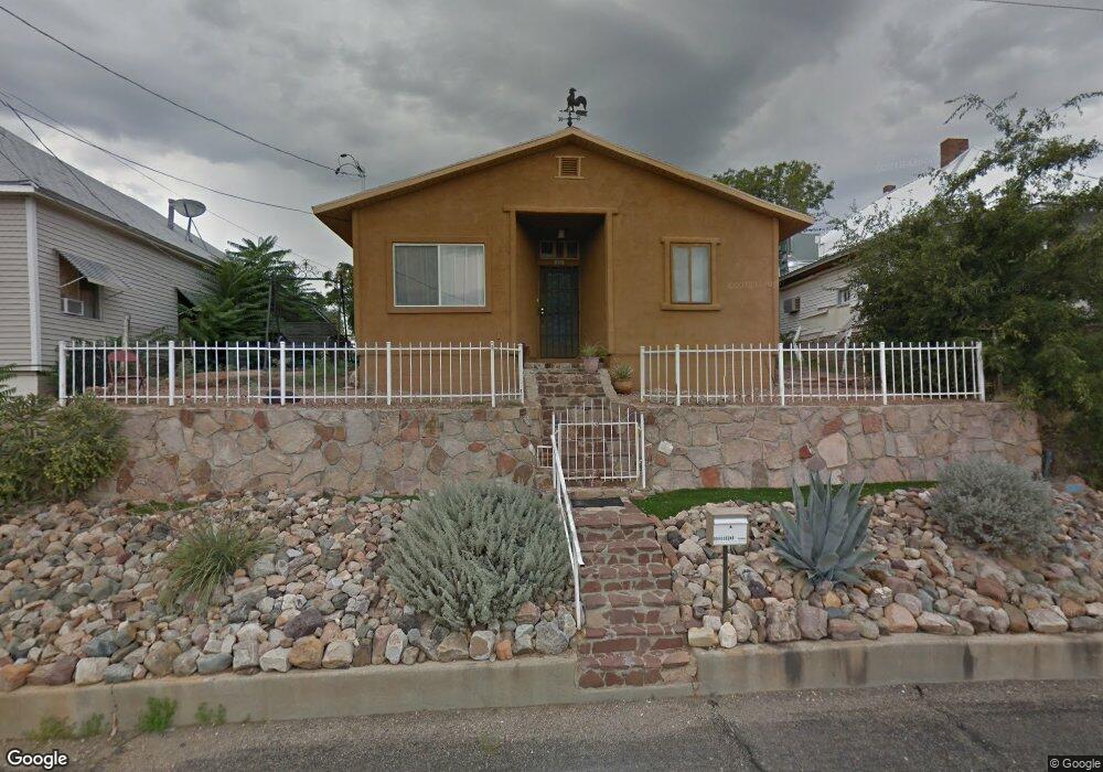
This home is located at 555 E Cedar St, Globe, AZ 85501 and is currently estimated at $283,610, approximately $112 per square foot. 555 E Cedar St is a home located in Gila County with nearby schools including Copper Rim Elementary School, High Desert Middle School, and Globe High School.
Ownership History
Date
Name
Owned For
Owner Type
Purchase Details
Closed on
Apr 3, 2023
Sold by
Laferty Teresa C and Tollerud Teresa C
Bought by
Tollerud Teresa C and Tollerud Harald F
Current Estimated Value
Home Financials for this Owner
Home Financials are based on the most recent Mortgage that was taken out on this home.
Original Mortgage
$187,220
Outstanding Balance
$180,920
Interest Rate
6.5%
Mortgage Type
FHA
Estimated Equity
$102,690
Purchase Details
Closed on
Apr 10, 2018
Sold by
Branan Douglas K and Branan Cynthia A
Bought by
Laferty Teresa C
Home Financials for this Owner
Home Financials are based on the most recent Mortgage that was taken out on this home.
Original Mortgage
$160,050
Interest Rate
4.43%
Mortgage Type
New Conventional
Purchase Details
Closed on
Sep 4, 2013
Sold by
Bussard Ardyce
Bought by
Brannan Douglas K and Brannan Cynthia A
Create a Home Valuation Report for This Property
The Home Valuation Report is an in-depth analysis detailing your home's value as well as a comparison with similar homes in the area
Home Values in the Area
Average Home Value in this Area
Purchase History
| Date | Buyer | Sale Price | Title Company |
|---|---|---|---|
| Tollerud Teresa C | -- | Service Link | |
| Laferty Teresa C | $165,000 | Pioneer Title Agency | |
| Brannan Douglas K | $55,000 | Pioneer Title Agency Inc |
Source: Public Records
Mortgage History
| Date | Status | Borrower | Loan Amount |
|---|---|---|---|
| Open | Tollerud Teresa C | $187,220 | |
| Previous Owner | Laferty Teresa C | $160,050 |
Source: Public Records
Tax History
| Year | Tax Paid | Tax Assessment Tax Assessment Total Assessment is a certain percentage of the fair market value that is determined by local assessors to be the total taxable value of land and additions on the property. | Land | Improvement |
|---|---|---|---|---|
| 2026 | $857 | $20,520 | $1,160 | $19,360 |
| 2025 | $857 | -- | -- | -- |
| 2024 | $793 | $13,190 | $986 | $12,204 |
| 2023 | $793 | $9,905 | $820 | $9,085 |
| 2022 | $776 | $8,237 | $820 | $7,417 |
| 2021 | $840 | $8,237 | $820 | $7,417 |
| 2020 | $779 | $0 | $0 | $0 |
| 2019 | $768 | $0 | $0 | $0 |
| 2018 | $838 | $0 | $0 | $0 |
| 2017 | $964 | $0 | $0 | $0 |
| 2016 | $861 | $0 | $0 | $0 |
| 2015 | $823 | $0 | $0 | $0 |
Source: Public Records
Map
Nearby Homes
- 501 E Mesquite St
- 543 E Mesquite St
- 339 N Devereaux St
- 227 S First St
- 0000 Bailey -- Unit 1
- 877 E Sycamore St
- 196 E Cedar St
- 258 S Sutherland St
- 415 N Hill St
- 0 Cottonwood Unit 1806700
- 254 N Broad St
- 300 N Broad St
- 396 N Broad St
- 449 S East St
- 385 S Broad St
- 595 N Fourth St
- 523 E Copper Hills Rd
- 840 N Devereaux St
- 610 N Broad St
- 741 E Monroe St
- 563 E Cedar St
- 549 E Cedar St
- 590 E Cedar St
- 247 N High St
- 257 N High St
- 158 N East St
- 217 N East St
- 550 E Mesquite St
- 277 N High St
- 237 N East St
- 227 N East St
- 518 E Mesquite St Unit 520
- 146 N East St
- 590 E Mesquite St
- 141 N High St
- 148 N High St
- 694 E Cedar St
- 289 N High St
- 457 E Cedar St
- 289 N East St
Your Personal Tour Guide
Ask me questions while you tour the home.