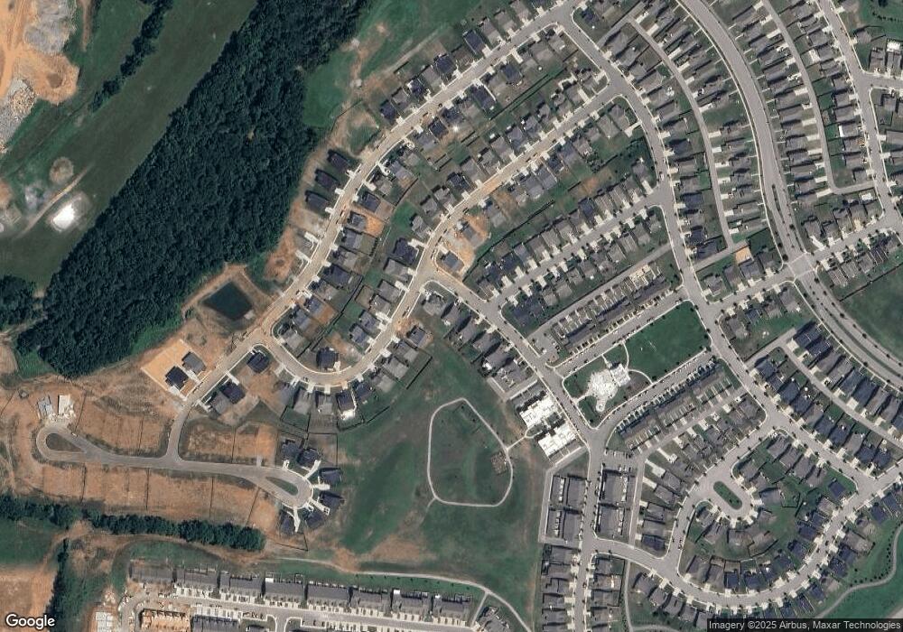
555 Farmstead Ln Spring Hill, TN 37174
Estimated Value: $467,221 - $496,000
Studio
1
Bath
1,929
Sq Ft
$250/Sq Ft
Est. Value
About This Home
This home is located at 555 Farmstead Ln, Spring Hill, TN 37174 and is currently estimated at $481,555, approximately $249 per square foot. 555 Farmstead Ln is a home with nearby schools including Spring Hill Elementary School, Spring Hill Middle School, and Spring Hill High School.
Ownership History
Date
Name
Owned For
Owner Type
Purchase Details
Closed on
Dec 14, 2020
Sold by
Grodi David A and Grodi Kathey L
Bought by
David And Kathey Grodi Living Trust
Current Estimated Value
Create a Home Valuation Report for This Property
The Home Valuation Report is an in-depth analysis detailing your home's value as well as a comparison with similar homes in the area
Home Values in the Area
Average Home Value in this Area
Purchase History
| Date | Buyer | Sale Price | Title Company |
|---|---|---|---|
| David And Kathey Grodi Living Trust | -- | Tennessee Title Services |
Source: Public Records
Tax History
| Year | Tax Paid | Tax Assessment Tax Assessment Total Assessment is a certain percentage of the fair market value that is determined by local assessors to be the total taxable value of land and additions on the property. | Land | Improvement |
|---|---|---|---|---|
| 2025 | $3,484 | $91,200 | $20,000 | $71,200 |
| 2024 | $3,484 | $91,200 | $20,000 | $71,200 |
| 2023 | $3,484 | $91,200 | $20,000 | $71,200 |
| 2021 | $2,416 | $67,400 | $9,500 | $57,900 |
| 2020 | $0 | $67,400 | $9,500 | $57,900 |
Source: Public Records
Map
Nearby Homes
- 3027 Shandor St
- 4051 John Marsh Rd
- 316 Daxton Place
- 4023 John Marsh Rd
- 194 Phillips Bend
- 427 Rangeland Rd
- 1060 June Wilde Ridge
- 1012 June Wilde Ridge
- 937 Carraway Ln
- 1043 June Wilde Ridge
- 199 Phillips Bend
- Maddox Plan at Harvest Point
- Melrose Plan at Harvest Point
- Cleburne Plan at Harvest Point
- Butler Plan at Harvest Point
- Rockford Plan at Harvest Point
- Oxford Plan at Harvest Point
- Baldwin Plan at Harvest Point
- Harlow Plan at Harvest Point
- Tilehurst Plan at Harvest Point
- 551 Farmstead Ln
- 547 Farmstead Ln
- 3035 Shandor St
- 543 Farmstead Ln
- 3030 Shandor St
- 1022 Violet St
- 1024 Violet St
- 3032 Shandor St
- 1021 Violet St
- 3037 Shandor St
- 539 Farmstead Ln
- 1020 Violet St
- 3025 Shandor St
- 535 Farmstead Ln
- 1019 Violet St
- 531 Farmstead Ln
- 3039 Shandor St
- 3036 Shandor St
- 3028 Shandor St - Lot 1103
- 3024 Shandor St
