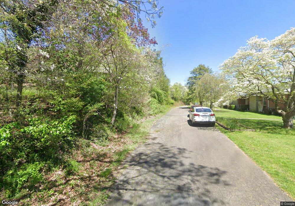
555 Hemlock Ridge Bend Unit Tract A & B Burnsville, NC 28714
Estimated Value: $704,000 - $1,094,000
3
Beds
4
Baths
3,818
Sq Ft
$226/Sq Ft
Est. Value
About This Home
This home is located at 555 Hemlock Ridge Bend Unit Tract A & B, Burnsville, NC 28714 and is currently estimated at $863,667, approximately $226 per square foot. 555 Hemlock Ridge Bend Unit Tract A & B is a home located in Yancey County with nearby schools including Mountain Heritage High School.
Ownership History
Date
Name
Owned For
Owner Type
Purchase Details
Closed on
Sep 28, 2020
Sold by
Sutherland Suzanne M
Bought by
Pullen John Tilmon
Current Estimated Value
Home Financials for this Owner
Home Financials are based on the most recent Mortgage that was taken out on this home.
Original Mortgage
$469,760
Outstanding Balance
$417,826
Interest Rate
2.9%
Mortgage Type
New Conventional
Estimated Equity
$445,841
Purchase Details
Closed on
Aug 21, 2018
Sold by
Sutherland Suzanne M
Bought by
Sutherland Suzanne M
Purchase Details
Closed on
Jan 1, 1998
Bought by
Sutherland Suzanne M
Create a Home Valuation Report for This Property
The Home Valuation Report is an in-depth analysis detailing your home's value as well as a comparison with similar homes in the area
Home Values in the Area
Average Home Value in this Area
Purchase History
| Date | Buyer | Sale Price | Title Company |
|---|---|---|---|
| Pullen John Tilmon | $588,000 | None Available | |
| Sutherland Suzanne M | -- | -- | |
| Sutherland Suzanne M | $123,000 | -- |
Source: Public Records
Mortgage History
| Date | Status | Borrower | Loan Amount |
|---|---|---|---|
| Open | Pullen John Tilmon | $469,760 |
Source: Public Records
Tax History Compared to Growth
Tax History
| Year | Tax Paid | Tax Assessment Tax Assessment Total Assessment is a certain percentage of the fair market value that is determined by local assessors to be the total taxable value of land and additions on the property. | Land | Improvement |
|---|---|---|---|---|
| 2025 | $2,918 | $494,600 | $189,200 | $305,400 |
| 2024 | $2,915 | $494,100 | $189,200 | $304,900 |
| 2023 | $3,542 | $528,670 | $85,600 | $443,070 |
| 2022 | $3,471 | $528,670 | $85,600 | $443,070 |
| 2021 | $3,542 | $528,670 | $85,600 | $443,070 |
| 2020 | $3,388 | $505,670 | $62,600 | $443,070 |
| 2019 | $3,388 | $505,670 | $62,600 | $443,070 |
| 2018 | $3,542 | $528,670 | $85,600 | $443,070 |
| 2017 | $3,489 | $528,670 | $85,600 | $443,070 |
| 2016 | $3,489 | $528,670 | $85,600 | $443,070 |
| 2015 | $3,482 | $621,740 | $152,200 | $469,540 |
| 2014 | $3,482 | $621,740 | $152,200 | $469,540 |
Source: Public Records
Map
Nearby Homes
- 1050 Wyatt Town Rd
- 40 Double Island Rd
- 355 Rosewood Ln
- 25 Kates Ln
- Lot 4 Rosewood Ln
- Lot 6 Rosewood Ln
- 307 Laf A Lot Ln
- 179 Cabin Hill Rd
- 433 Deneen Rd
- 514 Mine Branch Rd
- 00 High Peak Dr Unit 61
- 00 High Peak Dr Unit 45
- 00 High Peak Ridge Unit 10
- 00 High Peak Ridge Unit 7
- 2581 Double Island Rd
- 00 Falling Water Dr Unit 15
- Lot 5 High Peak Dr
- 97 Gordon Ln
- 161 Blue Rock Rd
- 000 Trinity Place
- 555 Hemlock Ridge Bend Unit Tract A,B & C
- 555 Hemlock Ridge Bend
- 312 Wyatt Town Rd
- 550 Hemlock Ridge Bend
- 455 Hemlock Ridge Bend
- 875 Hemlock Ridge Bend
- 314 Wyatt Town Rd
- 0 Hemlock Ridge Bend Unit NCM515651
- 4767 E Us Highway 19e
- 226 Janett Rd
- 0 E Us Hwy 19e Hwy Unit CAR3865803
- 1050 & 516 Wyatt Town Rd
- 4739 E Us Highway 19e
- 4719 E Us Highway 19e
- 4723 E Us Highway 19e
- 4743 E Us Highway 19e
- 00 Wyatt Town Rd
- 66 Ida Ln
- 00 Hemlock Ridge Bend
- 145 Ida Ln
