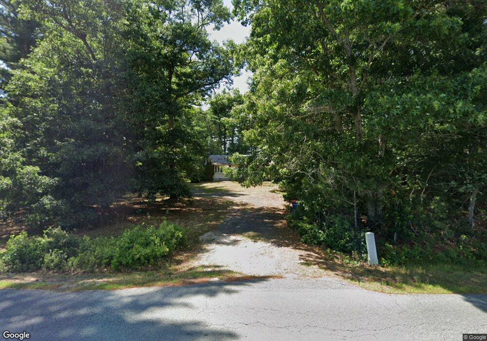
555 Marys Pond Rd Rochester, MA 02770
Estimated Value: $451,000 - $543,534
3
Beds
1
Bath
1,260
Sq Ft
$401/Sq Ft
Est. Value
About This Home
This home is located at 555 Marys Pond Rd, Rochester, MA 02770 and is currently estimated at $505,884, approximately $401 per square foot. 555 Marys Pond Rd is a home located in Plymouth County with nearby schools including Rochester Memorial School and Old Rochester Regional High School.
Ownership History
Date
Name
Owned For
Owner Type
Purchase Details
Closed on
Jul 21, 2004
Sold by
Roy Lawrence L and Roy Elizabeth L
Bought by
Roy Lawrence L and Roy Elizabeth L
Current Estimated Value
Purchase Details
Closed on
Mar 21, 1991
Sold by
Merry Robert K and Merry Donald
Bought by
Roy Lawrence L and Roy Elizabeth L
Home Financials for this Owner
Home Financials are based on the most recent Mortgage that was taken out on this home.
Original Mortgage
$34,000
Interest Rate
9.27%
Mortgage Type
Purchase Money Mortgage
Create a Home Valuation Report for This Property
The Home Valuation Report is an in-depth analysis detailing your home's value as well as a comparison with similar homes in the area
Home Values in the Area
Average Home Value in this Area
Purchase History
| Date | Buyer | Sale Price | Title Company |
|---|---|---|---|
| Roy Lawrence L | -- | -- | |
| Roy Lawrence L | $7,500 | -- |
Source: Public Records
Mortgage History
| Date | Status | Borrower | Loan Amount |
|---|---|---|---|
| Open | Roy Lawrence L | $100,000 | |
| Previous Owner | Roy Lawrence L | $11,295 | |
| Previous Owner | Roy Lawrence L | $102,000 | |
| Previous Owner | Roy Lawrence L | $34,000 |
Source: Public Records
Tax History Compared to Growth
Tax History
| Year | Tax Paid | Tax Assessment Tax Assessment Total Assessment is a certain percentage of the fair market value that is determined by local assessors to be the total taxable value of land and additions on the property. | Land | Improvement |
|---|---|---|---|---|
| 2025 | $4,681 | $432,600 | $170,100 | $262,500 |
| 2024 | $4,593 | $415,300 | $162,000 | $253,300 |
| 2023 | $4,856 | $409,100 | $162,000 | $247,100 |
| 2022 | $4,575 | $359,100 | $198,500 | $160,600 |
| 2021 | $4,424 | $330,900 | $187,300 | $143,600 |
| 2020 | $4,297 | $318,800 | $181,700 | $137,100 |
| 2019 | $3,966 | $283,300 | $170,400 | $112,900 |
| 2018 | $3,777 | $267,700 | $153,500 | $114,200 |
| 2017 | $3,691 | $256,500 | $143,400 | $113,100 |
| 2016 | $3,641 | $259,900 | $145,500 | $114,400 |
| 2015 | $3,565 | $253,400 | $145,500 | $107,900 |
| 2014 | $3,647 | $263,300 | $141,400 | $121,900 |
Source: Public Records
Map
Nearby Homes
- 82 Pierce St
- 31 Cross Rd
- 15 Cross Rd
- 19 County Rd
- 0 County Rd
- 0-A3 Marys Pond Rd
- 0-A4 Marys Pond Rd
- 9 White Pine Ave
- 490 High St
- 291 County Rd
- 46 Helen St
- 527 High St
- 7 Forbes Rd
- 9 Mayflower Ln
- 11 Fonseca Way
- 72 Papermill Rd Unit 72
- 57 Hathaway Pond Cir Unit 57
- 9 Hathaway Pond Cir
- 150 Ryder Rd
- 127 County Rd
- 547 Marys Pond Rd
- 565 Marys Pond Rd
- 543 Marys Pond Rd
- 5 Pierce St
- 521 Marys Pond Rd
- 583 Marys Pond Rd
- 19 Pierce St
- 507 Marys Pond Rd
- 593 Marys Pond Rd
- 23 Pierce St
- 24 Pierce St
- 601 Marys Pond Rd
- 29 Pierce St
- 32 Pierce St
- 493 Marys Pond Rd
- 609 Marys Pond Rd
- 15 Clarke Ct
- 37 Pierce St
- 40 Pierce St
- 30 Clarke Ct