555 Primrose Ln Rexford, MT 59930
Estimated Value: $407,211 - $428,000
2
Beds
1
Bath
1,728
Sq Ft
$242/Sq Ft
Est. Value
About This Home
This home is located at 555 Primrose Ln, Rexford, MT 59930 and is currently estimated at $417,606, approximately $241 per square foot. 555 Primrose Ln is a home located in Lincoln County with nearby schools including Eureka Elementary School, Eureka Middle School, and Lincoln County High School.
Ownership History
Date
Name
Owned For
Owner Type
Purchase Details
Closed on
Nov 9, 2020
Sold by
Silverman Paul H and Silverman Constance M
Bought by
Boulden Betty Sue and Boulden James A
Current Estimated Value
Home Financials for this Owner
Home Financials are based on the most recent Mortgage that was taken out on this home.
Original Mortgage
$224,852
Outstanding Balance
$200,445
Interest Rate
2.9%
Mortgage Type
FHA
Estimated Equity
$217,161
Purchase Details
Closed on
Sep 29, 2006
Sold by
Silverman Constance
Bought by
Silverman Paul H
Purchase Details
Closed on
Jun 14, 2006
Sold by
Nelson Jennifer M
Bought by
Silverman Constance
Create a Home Valuation Report for This Property
The Home Valuation Report is an in-depth analysis detailing your home's value as well as a comparison with similar homes in the area
Home Values in the Area
Average Home Value in this Area
Purchase History
| Date | Buyer | Sale Price | Title Company |
|---|---|---|---|
| Boulden Betty Sue | -- | First American Title Libby | |
| Silverman Paul H | -- | None Available | |
| Silverman Constance | -- | First American Title Co Of M |
Source: Public Records
Mortgage History
| Date | Status | Borrower | Loan Amount |
|---|---|---|---|
| Open | Boulden Betty Sue | $224,852 |
Source: Public Records
Tax History Compared to Growth
Tax History
| Year | Tax Paid | Tax Assessment Tax Assessment Total Assessment is a certain percentage of the fair market value that is determined by local assessors to be the total taxable value of land and additions on the property. | Land | Improvement |
|---|---|---|---|---|
| 2025 | $779 | $282,835 | $0 | $0 |
| 2024 | $975 | $203,387 | $0 | $0 |
| 2023 | $1,257 | $203,387 | $0 | $0 |
| 2022 | $893 | $148,142 | $0 | $0 |
| 2021 | $838 | $128,202 | $0 | $0 |
| 2020 | $1,035 | $122,879 | $0 | $0 |
| 2019 | $1,048 | $122,879 | $0 | $0 |
| 2018 | $1,066 | $124,215 | $0 | $0 |
| 2017 | $837 | $124,215 | $0 | $0 |
| 2016 | $1,034 | $119,656 | $0 | $0 |
| 2015 | $724 | $119,656 | $0 | $0 |
| 2014 | $864 | $70,381 | $0 | $0 |
Source: Public Records
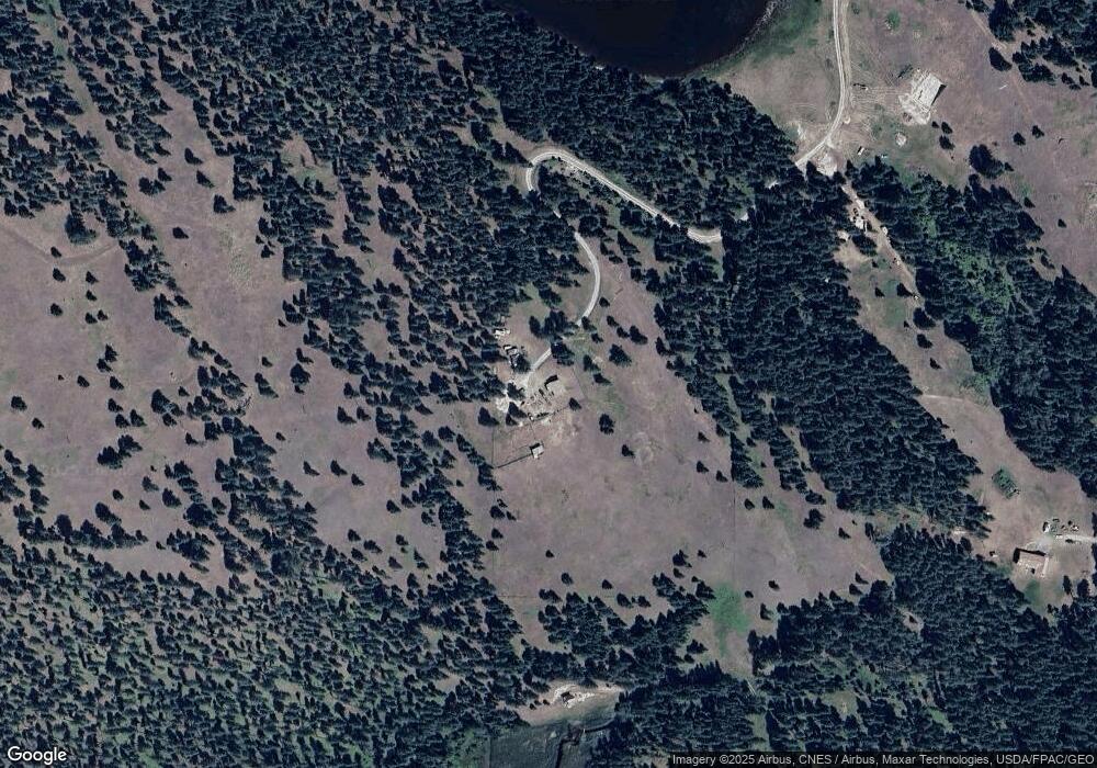
Map
Nearby Homes
- Nhn Othorp Lake Rd Unit Lot 9
- NHN Scenery Hill Dr
- Lot 4 Scenery Hill Dr
- 782 Othorp Lake Rd
- 148 Trail
- 390 Crosscut Rd
- 101 West Ave N
- 110 West Ave S
- 788 Tobacco Rd
- 4 Acres U S 93
- 2291 U S 93
- Lot 10 U S 93
- 412 1st Ave E
- 185 Mossy Rock Rd N
- 506 1st Ave E Unit A,B,C
- 126 Mossy Rock Rd N
- 421 5th Ave E
- 220 6th Ave E
- 112 Shadow Ln
- 450 6th St E
- 1457 Black Lake Rd
- 89 Big Rock Bluff
- 88 Big Rock Bluff
- 89 Big Rock Bluff
- Nhn Othorp Lake Rd
- 1053 Black Lake Rd
- 0 Othorp Lake Rd Unit 313032
- Nhn Big Rock Bluff
- 0 Othorp Lake Rd Unit 309087
- 0 Othorp Lake Rd Unit 279729
- 0 Othorp Lake Rd Unit 235739
- 0 Othorp Lake Rd Unit 256390
- 0 Othorp Lake Rd Unit 271364
- 0 Othorp Lake Rd Unit 266890
- 0 Othorp Lake Rd Unit 263818
- 0 Othorp Lake Rd Unit 270462
- 0 Othorp Lake Rd Unit 261462
- 0 Othorp Lake Rd Unit 270464
- 0 Othorp Lake Rd Unit 263816
- 0 Othorp Lake Rd Unit 261471