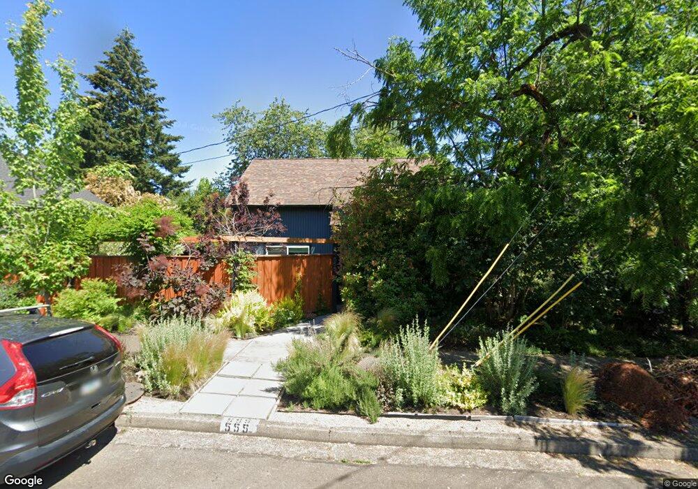
555 W 20th Ave Eugene, OR 97405
Friendly NeighborhoodEstimated Value: $472,703 - $596,000
3
Beds
2
Baths
1,479
Sq Ft
$351/Sq Ft
Est. Value
About This Home
This home is located at 555 W 20th Ave, Eugene, OR 97405 and is currently estimated at $519,426, approximately $351 per square foot. 555 W 20th Ave is a home located in Lane County with nearby schools including Adams Elementary School, Roosevelt Middle School, and South Eugene High School.
Ownership History
Date
Name
Owned For
Owner Type
Purchase Details
Closed on
Feb 13, 2024
Sold by
Szymanski Mark J
Bought by
Szymanski Mark J and Szymanski Lori L
Current Estimated Value
Purchase Details
Closed on
Nov 30, 2016
Sold by
Haines Cynthia and Haines Randall
Bought by
Szymanski Mark J
Home Financials for this Owner
Home Financials are based on the most recent Mortgage that was taken out on this home.
Original Mortgage
$280,250
Interest Rate
3.54%
Mortgage Type
New Conventional
Purchase Details
Closed on
Oct 13, 2008
Sold by
Haines Cynthia C and Haines Randall J
Bought by
Haines Cynthia and Haines Randall
Create a Home Valuation Report for This Property
The Home Valuation Report is an in-depth analysis detailing your home's value as well as a comparison with similar homes in the area
Home Values in the Area
Average Home Value in this Area
Purchase History
| Date | Buyer | Sale Price | Title Company |
|---|---|---|---|
| Szymanski Mark J | -- | None Listed On Document | |
| Szymanski Mark J | $295,000 | Western Title & Escrow Co | |
| Haines Cynthia | -- | None Available |
Source: Public Records
Mortgage History
| Date | Status | Borrower | Loan Amount |
|---|---|---|---|
| Previous Owner | Szymanski Mark J | $280,250 |
Source: Public Records
Tax History
| Year | Tax Paid | Tax Assessment Tax Assessment Total Assessment is a certain percentage of the fair market value that is determined by local assessors to be the total taxable value of land and additions on the property. | Land | Improvement |
|---|---|---|---|---|
| 2025 | $4,377 | $224,628 | -- | -- |
| 2024 | $4,322 | $218,086 | -- | -- |
| 2023 | $4,322 | $211,734 | $0 | $0 |
| 2022 | $4,049 | $205,567 | $0 | $0 |
| 2021 | $3,803 | $199,580 | $0 | $0 |
| 2020 | $3,817 | $193,767 | $0 | $0 |
| 2019 | $3,686 | $188,124 | $0 | $0 |
| 2018 | $3,470 | $177,325 | $0 | $0 |
| 2017 | $3,314 | $177,325 | $0 | $0 |
| 2016 | $3,232 | $172,160 | $0 | $0 |
| 2015 | $3,139 | $167,146 | $0 | $0 |
| 2014 | $3,076 | $162,278 | $0 | $0 |
Source: Public Records
Map
Nearby Homes
- 557 W 19th Ave
- 623 W 18th Ave
- 0 Monroe St Unit 343774498
- 1924 Friendly St
- 2031 Olive St
- 180 W 23rd Ave
- 2223 Olive St
- 1673 Olive Aly
- 537 W 14th Ave
- 870 W 25th Ave
- 1313 Lincoln St Unit 503
- 1313 Lincoln St Unit 1005
- 1313 Lincoln St Unit 401
- 177 E 20th Ave
- 181 Civic Dr
- 193 E 20th Ave
- 2095 Polk St
- 1275 Jefferson St
- 1857 Pearl St
- 1375 Olive St Unit 503
- 1993 Jefferson St
- 535 W 20th Ave
- 1992 Washington St
- 1959 Jefferson St
- 1980 Washington St
- 2011 Jefferson St
- 544 W 20th Ave
- 2015 Washington Aly
- 554 W 20th Ave
- 1960 Washington St
- 2027 Jefferson St
- 1945 Jefferson St
- 2008 Washington St
- 1992 Jefferson St
- 1944 Washington St
- 2026 Washington St
- 2039 Jefferson St
- 1939 Jefferson St
- 1978 Jefferson St
- 570 W 19th Ave
Your Personal Tour Guide
Ask me questions while you tour the home.