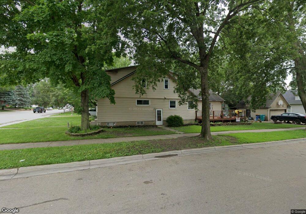
555 W Bridge St Owatonna, MN 55060
Estimated Value: $231,033 - $288,000
4
Beds
3
Baths
2,191
Sq Ft
$114/Sq Ft
Est. Value
About This Home
This home is located at 555 W Bridge St, Owatonna, MN 55060 and is currently estimated at $250,008, approximately $114 per square foot. 555 W Bridge St is a home located in Steele County with nearby schools including Wilson Elementary School, Owatonna Middle School, and Owatonna Senior High School.
Ownership History
Date
Name
Owned For
Owner Type
Purchase Details
Closed on
Jun 11, 2009
Sold by
Wells Fargo Bank Na
Bought by
Federal Home Loan Mortgage Corporation
Current Estimated Value
Purchase Details
Closed on
Mar 25, 2006
Sold by
Schuster Eric John
Bought by
Schuster Eric Jon and Schuster Nichole M
Home Financials for this Owner
Home Financials are based on the most recent Mortgage that was taken out on this home.
Original Mortgage
$163,800
Interest Rate
6.38%
Mortgage Type
New Conventional
Create a Home Valuation Report for This Property
The Home Valuation Report is an in-depth analysis detailing your home's value as well as a comparison with similar homes in the area
Home Values in the Area
Average Home Value in this Area
Purchase History
| Date | Buyer | Sale Price | Title Company |
|---|---|---|---|
| Federal Home Loan Mortgage Corporation | -- | None Available | |
| Schuster Eric Jon | -- | Servicelink |
Source: Public Records
Mortgage History
| Date | Status | Borrower | Loan Amount |
|---|---|---|---|
| Previous Owner | Schuster Eric Jon | $163,800 |
Source: Public Records
Tax History
| Year | Tax Paid | Tax Assessment Tax Assessment Total Assessment is a certain percentage of the fair market value that is determined by local assessors to be the total taxable value of land and additions on the property. | Land | Improvement |
|---|---|---|---|---|
| 2025 | $2,498 | $200,900 | $31,300 | $169,600 |
| 2024 | $2,394 | $190,000 | $25,000 | $165,000 |
| 2023 | $2,362 | $174,900 | $21,900 | $153,000 |
| 2022 | $2,040 | $163,100 | $21,300 | $141,800 |
| 2021 | $1,926 | $131,124 | $18,424 | $112,700 |
| 2020 | $2,022 | $123,676 | $18,424 | $105,252 |
| 2019 | $1,612 | $124,068 | $18,424 | $105,644 |
| 2018 | $1,430 | $108,388 | $18,424 | $89,964 |
| 2017 | $1,340 | $98,686 | $14,112 | $84,574 |
| 2016 | $1,284 | $94,080 | $14,112 | $79,968 |
| 2015 | -- | $0 | $0 | $0 |
| 2014 | -- | $0 | $0 | $0 |
Source: Public Records
Map
Nearby Homes
- 323 Mower Place
- 460 Selby Ave
- 330 Riverside Ave
- 413 Sylvan St
- 330 S Oak Ave
- 522 S Oak Ave
- 840 SW Riverwood Place
- 254 Plainview St
- 134 W University St
- 810 S Oak Ave
- xxx Anderson Place
- 430 S Elm Ave
- 431 W Mckinley St
- 0 W Highway 14
- 1042 S Oak Ave
- 234 E School St
- xxx Kilworth Dr NW
- 338 South St
- 122 Hobart St
- 609 Harriet Ave
- 555 Bridge St W
- 555 555 Bridge-Street-w
- 109 Selby Ave
- 603 W Bridge St
- 543 W Bridge St
- 123 Selby Ave
- 116 Selby Ave
- 609 W Bridge St
- 609 Bridge St W
- 537 W Bridge St
- 556 W Bridge St
- 550 W Bridge St
- 604 W Bridge St
- 135 Selby Ave
- 124 Selby Ave
- 615 W Bridge St
- 531 W Bridge St
- 531 531 Bridge-Street-w
- 550 Mound St
- 536 W Bridge St
Your Personal Tour Guide
Ask me questions while you tour the home.