Estimated Value: $377,000 - $399,579
4
Beds
1
Bath
1,260
Sq Ft
$308/Sq Ft
Est. Value
About This Home
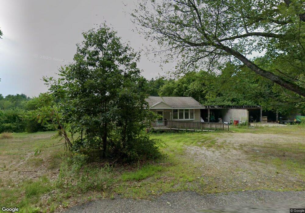
This home is located at 555 White Pond Rd, Athol, MA 01331 and is currently estimated at $388,290, approximately $308 per square foot. 555 White Pond Rd is a home located in Worcester County with nearby schools including Athol High School.
Create a Home Valuation Report for This Property
The Home Valuation Report is an in-depth analysis detailing your home's value as well as a comparison with similar homes in the area
Home Values in the Area
Average Home Value in this Area
Tax History Compared to Growth
Tax History
| Year | Tax Paid | Tax Assessment Tax Assessment Total Assessment is a certain percentage of the fair market value that is determined by local assessors to be the total taxable value of land and additions on the property. | Land | Improvement |
|---|---|---|---|---|
| 2025 | $3,268 | $257,100 | $66,100 | $191,000 |
| 2024 | $3,019 | $235,300 | $65,500 | $169,800 |
| 2023 | $3,028 | $215,640 | $49,240 | $166,400 |
| 2022 | $2,958 | $184,320 | $46,820 | $137,500 |
| 2021 | $2,857 | $161,776 | $42,576 | $119,200 |
| 2020 | $2,673 | $155,576 | $39,376 | $116,200 |
| 2019 | $0 | $146,676 | $37,376 | $109,300 |
| 2018 | $19 | $135,520 | $35,620 | $99,900 |
| 2017 | $19 | $120,720 | $35,620 | $85,100 |
| 2016 | $2,244 | $113,180 | $33,380 | $79,800 |
| 2015 | $2,154 | $113,180 | $33,380 | $79,800 |
| 2014 | $2,086 | $113,180 | $33,380 | $79,800 |
Source: Public Records
Map
Nearby Homes
- 603 White Pond Rd
- 657 White Pond Rd
- 590 White Pond Rd
- 568 White Pond Rd
- 429 White Pond Rd
- 363 White Pond Rd
- 766 White Pond Rd
- 315 White Pond Rd
- 316 White Pond Rd
- 229 White Pond Rd
- 154 White Pond Rd
- 124 White Pond Rd
- 927 White Pond Rd
- 98 White Pond Rd
- 51 White Pond Rd
- 824 Partridgeville Rd
- 124 Perry Rd
- 120 Perry Rd
- 82 White Pond Rd
- 784 Partridgeville Rd