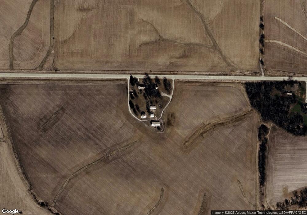
5551 520th St SE Lone Tree, IA 52755
Estimated Value: $233,000 - $467,000
3
Beds
1
Bath
1,822
Sq Ft
$209/Sq Ft
Est. Value
About This Home
This home is located at 5551 520th St SE, Lone Tree, IA 52755 and is currently estimated at $380,436, approximately $208 per square foot. 5551 520th St SE is a home located in Johnson County with nearby schools including Lone Tree Elementary School and Lone Tree Junior/Senior High School.
Create a Home Valuation Report for This Property
The Home Valuation Report is an in-depth analysis detailing your home's value as well as a comparison with similar homes in the area
Home Values in the Area
Average Home Value in this Area
Tax History Compared to Growth
Tax History
| Year | Tax Paid | Tax Assessment Tax Assessment Total Assessment is a certain percentage of the fair market value that is determined by local assessors to be the total taxable value of land and additions on the property. | Land | Improvement |
|---|---|---|---|---|
| 2025 | $4,140 | $330,800 | $89,300 | $241,500 |
| 2024 | $3,970 | $305,700 | $73,000 | $232,700 |
| 2023 | $3,864 | $305,700 | $73,000 | $232,700 |
| 2022 | $3,804 | $251,600 | $56,100 | $195,500 |
| 2021 | $3,590 | $256,900 | $61,400 | $195,500 |
| 2020 | $3,590 | $230,200 | $56,100 | $174,100 |
| 2019 | $3,490 | $230,200 | $56,100 | $174,100 |
| 2018 | $3,396 | $249,500 | $0 | $0 |
| 2017 | $3,396 | $257,100 | $86,700 | $170,400 |
| 2016 | $3,182 | $252,400 | $86,700 | $165,700 |
| 2015 | $3,182 | $252,400 | $86,700 | $165,700 |
| 2014 | $3,146 | $247,000 | $77,600 | $169,400 |
Source: Public Records
Map
Nearby Homes
- 1118 120th St
- 0 520th St SE
- 1210 Davis Ave
- 0 Lot 1 Unit Country Vista - Down
- 745 N Perkins St
- 0 Adams St & Front St
- 0 Adams St
- 201 N Devoe St
- 219 Taylor Dr
- 407 E Elm St
- 221 W Commercial St
- 500 S Center St
- 203 W Dougherty Dr
- 1437 Terrace Ln
- 106 Dorothy Ln
- 1443 Bunker Dr
- 1444 121st St
- 1290 Elder Ridge Rd
- Lot 3 Rolling Prairie Estates
- Lot 4 Rolling Prairie Estates