5555 Stanley Ln Shepherd, MT 59079
Estimated Value: $1,071,428 - $1,254,000
5
Beds
4
Baths
5,148
Sq Ft
$222/Sq Ft
Est. Value
About This Home
This home is located at 5555 Stanley Ln, Shepherd, MT 59079 and is currently estimated at $1,142,809, approximately $221 per square foot. 5555 Stanley Ln is a home located in Yellowstone County with nearby schools including Shepherd Elementary School, Shepherd Middle School, and Shepherd High School.
Ownership History
Date
Name
Owned For
Owner Type
Purchase Details
Closed on
Dec 20, 2023
Sold by
Erickson Janet L
Bought by
Draper Karlan R and Ness Andrea G
Current Estimated Value
Home Financials for this Owner
Home Financials are based on the most recent Mortgage that was taken out on this home.
Original Mortgage
$480,000
Outstanding Balance
$472,033
Interest Rate
7.5%
Mortgage Type
New Conventional
Estimated Equity
$670,776
Purchase Details
Closed on
Jun 23, 2015
Sold by
Erickson Elwood and Erickson Janell
Bought by
Erickson Elwood and Erickson Janell L
Purchase Details
Closed on
Jan 18, 2005
Sold by
Stanley Marvin L and Stanley Bonnie Jo
Bought by
Erickson Elwood and Erickson Janell
Create a Home Valuation Report for This Property
The Home Valuation Report is an in-depth analysis detailing your home's value as well as a comparison with similar homes in the area
Purchase History
| Date | Buyer | Sale Price | Title Company |
|---|---|---|---|
| Draper Karlan R | -- | First Montana Title | |
| Erickson Elwood | -- | None Available | |
| Erickson Elwood | -- | None Available |
Source: Public Records
Mortgage History
| Date | Status | Borrower | Loan Amount |
|---|---|---|---|
| Open | Draper Karlan R | $480,000 |
Source: Public Records
Tax History
| Year | Tax Paid | Tax Assessment Tax Assessment Total Assessment is a certain percentage of the fair market value that is determined by local assessors to be the total taxable value of land and additions on the property. | Land | Improvement |
|---|---|---|---|---|
| 2025 | $7,121 | $1,166,144 | $184,424 | $981,720 |
| 2024 | $7,121 | $844,260 | $3,570 | $840,690 |
| 2023 | $5,750 | $826,220 | $3,570 | $822,650 |
| 2022 | $6,213 | $642,567 | $0 | $0 |
| 2021 | $6,197 | $642,567 | $0 | $0 |
| 2020 | $5,725 | $572,279 | $0 | $0 |
| 2019 | $4,728 | $572,279 | $0 | $0 |
| 2018 | $4,649 | $528,947 | $0 | $0 |
| 2017 | $4,561 | $528,947 | $0 | $0 |
| 2016 | $3,979 | $480,457 | $0 | $0 |
| 2015 | $3,942 | $480,457 | $0 | $0 |
| 2014 | $3,879 | $253,665 | $0 | $0 |
Source: Public Records
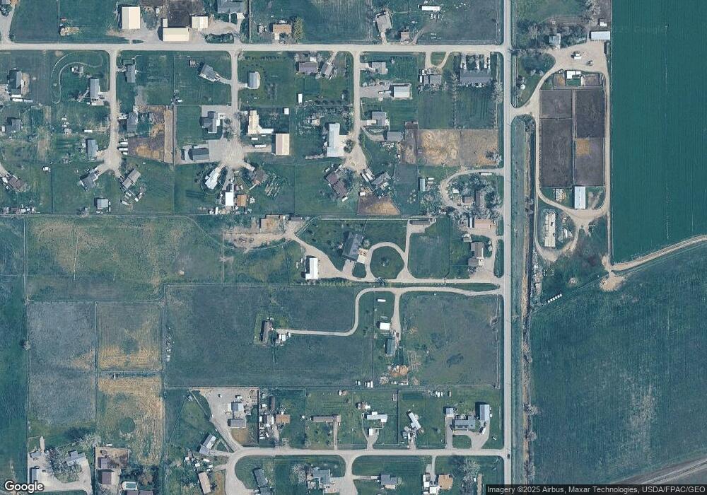
Map
Nearby Homes
- 0 Shepherd Road Lot Shepherd Rd
- 0 SHepherd Road lot Shepherd Rd
- 5430 Cerkoney Ln
- 6447 US Highway 312
- 8020 Wade St
- 5652 Bengston Rd
- 7306 Kendra Lynn Dr
- L5B4 Trumbo Cir
- L3B4 Trumbo Cir
- L11B3 High Noon Dr
- L4B4 Trumbo Cir
- L13B2 High Noon Dr
- L12B3 Molly Dr
- L2B4 True Grit St
- L11B2 Rio Lobo Cir
- L1B4 True Grit St
- L13B3 Molly Dr
- L12B2 High Noon Dr
- L10B3 High Noon Dr
- 3863 Glenn Edward Rd
- 6610 Arab Place
- 6613 Arab Place
- 6613 Hackney Place
- 6620 Arab Place
- 6623 Arab Place
- 6608 Hackney Place
- 6621 Hackney Place
- 5515 Edmunds Dr
- 5444 Equestrian Rd
- 5505 Edmunds Dr
- 5522 Equestrian Rd
- 6635 Arab Place
- 5455 Edmunds Dr
- 6622 Hackney Place
- 5445 Edmunds Dr
- 6605 Belgian Place
- 5530 Equestrian Rd
- 6640 Hackney Place
- 5511 Equestrian Rd
- 5445 Equestrian Rd
Your Personal Tour Guide
Ask me questions while you tour the home.